Enable Location

We need your location to show you interesting places around you

Discover nearby places

Find interesting locations and hidden gems around you

Precise directions

Get accurate directions and distances to places

Your location is never shared with other users. It's only used when you tap the location button.

Avery County

Log in to your account

Start exploring — it's free

Trusted by 63,023 travelers worldwide

Continue with Google
Continue with Apple
or

We will send you a code to connect

By continuing, you accept our Terms and Conditions and our Privacy Policy

Check your inbox

We've sent a pincode in your inbox. Please enter the code below.

Discussion Reviews 1 Photos
27.2k Popularity

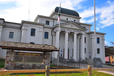
Avery County, Administrative county in Western North Carolina, US

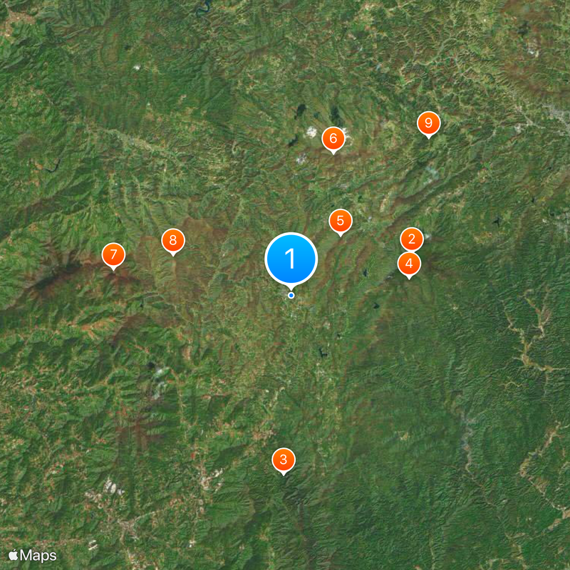
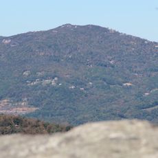
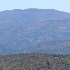
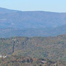
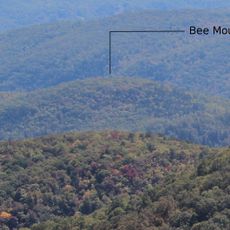
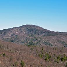
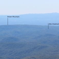
Avery County is a county in the Appalachian Mountains of Western North Carolina. The region consists of mountainous terrain where high elevations define the landscape and shape how communities are arranged across the area.

This county was established in 1911 as the final one created in North Carolina. It was formed by combining territory from three neighboring counties to meet growing local needs.

The Highland Games at Grandfather Mountain celebrate the Scottish heritage of the early settlers who arrived in the region during the 1770s.

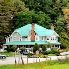
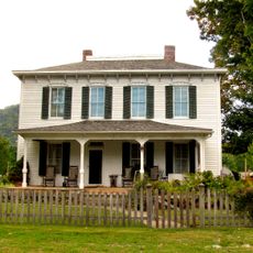
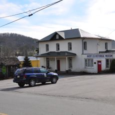
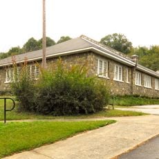
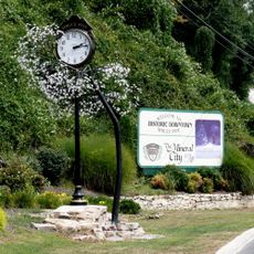
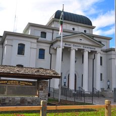
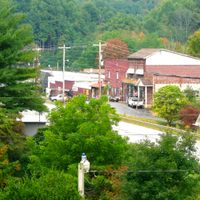
Visitors can reach administrative services at the county seat in Newland. A car is the best way to explore the mountainous landscape and access different parts of the region.

Grassy Ridge Bald sits within this county and reaches one of the highest elevations east of the Mississippi River. This geographical feature draws hikers seeking high-altitude mountain experiences.

The community of curious travelers

AroundUs brings together thousands of curated places, local tips, and hidden gems, enriched daily by 60,000 contributors worldwide.

Start exploring
Location
Inception
1911
Capital city
Newland
Shares border with
Johnson County, Carter County, Caldwell County, Burke County, McDowell County, Mitchell County, Watauga County
GPS coordinates
36.08000,-81.92000
Latest update
December 20, 2025 14:02
Around this place
Grandfather Mountain
United States of America

Grandfather Mountain

10.4 km
Linville Falls
United States of America

Linville Falls

14.5 km
Linn Cove Viaduct
United States of America

Linn Cove Viaduct

9.7 km
Sugar Mountain
United States of America

Sugar Mountain

6.4 km
Beech Mountain
United States of America

Beech Mountain

12.1 km
Grassy Ridge Bald
United States of America

Grassy Ridge Bald

14.6 km
Big Yellow Mountain
United States of America

Big Yellow Mountain

10.2 km
Valle Crucis Episcopal Mission
United States of America

Valle Crucis Episcopal Mission

17 km
Bee Mountain
United States of America

Bee Mountain

10.3 km
Mast Farm
United States of America

Mast Farm

19.4 km
Cove Creek High School
United States of America

Cove Creek High School

23.7 km
Banner Elk Hotel
United States of America

Banner Elk Hotel

10 km
United States of America

Linville Falls Tavern

13.6 km
United States of America

Humpback Mountain

15.5 km
Chestnut Mountain
United States of America

Chestnut Mountain

16.6 km
United States of America

Valle Crucis Historic District

19.2 km
John T. Wilder House
United States of America

John T. Wilder House

18.7 km
United States of America

Linville Historic District

4.8 km
United States of America

Crossnore Presbyterian Church

7 km
United States of America

Weaving Room of Crossnore School

6.4 km
Little Chestnut Mountain
United States of America

Little Chestnut Mountain

20.1 km
Avery County Jail
United States of America

Avery County Jail

978 m
Elk Park School
United States of America

Elk Park School

10.6 km
Downtown Spruce Pine Historic District
United States of America

Downtown Spruce Pine Historic District

22.7 km
Ward Family House
United States of America

Ward Family House

20.6 km
Avery County Courthouse
United States of America

Avery County Courthouse

970 m
United States of America

Crossnore School Historic District

6.4 km
United States of America

Robert Chester and Elsie H. Lowe House

10 km
Show the full map
Reviews
Share your experience

No review yet

Discussions
Start a discussion...

No discussion yet

« Avery County - Administrative county in Western North Carolina, US » is provided by Around Us (aroundus.com). Images and texts are derived from Wikimedia project under a Creative Commons license. You are allowed to copy, distribute, and modify copies of this page, under the conditions set by the license, as long as this note is clearly visible.

Discover hidden gems everywhere you go!

From secret cafés to breathtaking viewpoints, skip the crowded tourist spots and find places that match your style. Our app makes it easy with voice search, smart filtering, route optimization, and insider tips from travelers worldwide. Download now for the complete mobile experience.

Around Us App Screenshot

A unique approach to discovering new places

Le Figaro

All the places worth exploring

France Info

A tailor-made excursion in just a few clicks

20 Minutes

Around Us
Travel Guide & Maps
Download

Send to your phone

QR Code
1

Open the camera app on your mobile.

2

Point at the QR code with your camera. A notification will appear.

3

Tap the notification to open the link.