Enable Location

We need your location to show you interesting places around you

Discover nearby places

Find interesting locations and hidden gems around you

Precise directions

Get accurate directions and distances to places

Your location is never shared with other users. It's only used when you tap the location button.

Graves County

Log in to your account

Start exploring — it's free

Trusted by 62,994 travelers worldwide

Continue with Google
Continue with Apple
or

We will send you a code to connect

By continuing, you accept our Terms and Conditions and our Privacy Policy

Check your inbox

We've sent a pincode in your inbox. Please enter the code below.

Discussion Reviews 1 Photos
18.5k Popularity

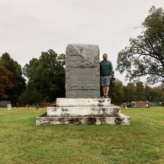
Graves County, County administrative division in western Kentucky, United States.

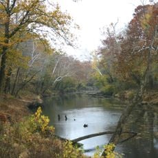
Graves County is an administrative division in western Kentucky covering roughly 560 square miles in the Jackson Purchase region. The landscape is dominated by farmland and fields that form the backbone of the local economy.

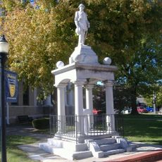
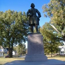
The county was established in 1824 and named after Major Benjamin Franklin Graves, who died during the War of 1812. This naming honored a military figure important to the region's early development.

Local farmers maintain strong agricultural traditions through tobacco cultivation, dairy operations, and annual harvest celebrations that connect generations of residents.

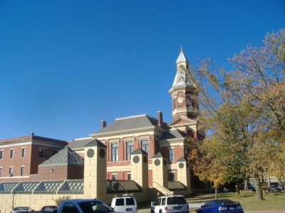
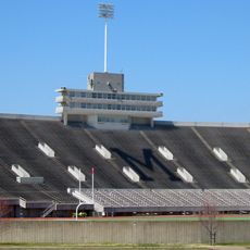
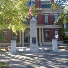
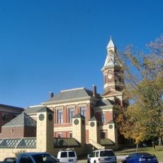
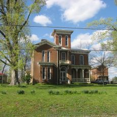
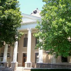
Mayfield, the county seat, provides government services, healthcare, and schools for local residents. Most locations are easily accessible by car since the area is predominantly rural.

A religious community came into conflict with local authorities over the requirement to display orange safety triangles on horse-drawn buggies. The dispute highlighted tensions between modern traffic safety rules and traditional religious practices.

The community of curious travelers

AroundUs brings together thousands of curated places, local tips, and hidden gems, enriched daily by 60,000 contributors worldwide.

Start exploring
Location
Inception
1824
Capital city
Mayfield
Shares border with
McCracken County, Marshall County, Calloway County, Henry County, Weakley County, Hickman County, Carlisle County
GPS coordinates
36.72000,-88.65000
Latest update
December 7, 2025 19:22
Around this place
CFSB Center
United States of America

CFSB Center

31.4 km
Columbus-Belmont State Park
United States of America

Columbus-Belmont State Park

41.1 km
Confederate Monument in Murray
United States of America

Confederate Monument in Murray

33.4 km
Whitehaven
United States of America

Whitehaven

36.8 km
Roy Stewart Stadium
United States of America

Roy Stewart Stadium

31.6 km
Wooldridge Monuments
United States of America

Wooldridge Monuments

3.5 km
Clarks River National Wildlife Refuge
United States of America

Clarks River National Wildlife Refuge

31.9 km
Lloyd Tilghman House
United States of America

Lloyd Tilghman House

40.8 km
Lloyd Tilghman Memorial
United States of America

Lloyd Tilghman Memorial

40.4 km
Marvin College Boys Dormitory and President's House
United States of America

Marvin College Boys Dormitory and President's House

31.1 km
Confederate Memorial in Mayfield
United States of America

Confederate Memorial in Mayfield

2.7 km
Confederate Monument in Paducah
United States of America

Confederate Monument in Paducah

40.8 km
Confederate Memorial Gates in Mayfield
United States of America

Confederate Memorial Gates in Mayfield

3.5 km
Camp Beauregard Memorial
United States of America

Camp Beauregard Memorial

20.6 km
Mayfield Downtown Commercial District
United States of America

Mayfield Downtown Commercial District

2.7 km
Confederate Memorial in Fulton
United States of America

Confederate Memorial in Fulton

30.9 km
First Baptist Church
United States of America

First Baptist Church

33.5 km
First Christian Church
United States of America

First Christian Church

33.3 km
Jesse Whitesell House and Farm
United States of America

Jesse Whitesell House and Farm

33 km
George W. Stone House
United States of America

George W. Stone House

23.7 km
Masonic Temple
United States of America

Masonic Temple

40.4 km
Hickman County Courthouse
United States of America

Hickman County Courthouse

31.3 km
Edwin S. Diuguid House
United States of America

Edwin S. Diuguid House

33.2 km
Kenmil Place
United States of America

Kenmil Place

37.7 km
Calloway County Courthouse
United States of America

Calloway County Courthouse

33.4 km
Pete Lyles House
United States of America

Pete Lyles House

25.2 km
W.W. Morris House
United States of America

W.W. Morris House

32.3 km
Chuck E. Cheese
United States of America

Chuck E. Cheese

39.8 km
Show the full map
Reviews
Share your experience

No review yet

Discussions
Start a discussion...

No discussion yet

« Graves County - County administrative division in western Kentucky, United States » is provided by Around Us (aroundus.com). Images and texts are derived from Wikimedia project under a Creative Commons license. You are allowed to copy, distribute, and modify copies of this page, under the conditions set by the license, as long as this note is clearly visible.

Discover hidden gems everywhere you go!

From secret cafés to breathtaking viewpoints, skip the crowded tourist spots and find places that match your style. Our app makes it easy with voice search, smart filtering, route optimization, and insider tips from travelers worldwide. Download now for the complete mobile experience.

Around Us App Screenshot

A unique approach to discovering new places

Le Figaro

All the places worth exploring

France Info

A tailor-made excursion in just a few clicks

20 Minutes

Around Us
Travel Guide & Maps
Download

Send to your phone

QR Code
1

Open the camera app on your mobile.

2

Point at the QR code with your camera. A notification will appear.

3

Tap the notification to open the link.