Washburn County, Administrative division in northern Wisconsin, United States
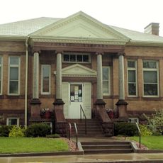
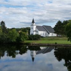
Washburn County is a county in northern Wisconsin made up of forests, lakes, and small rural communities spread across a largely wooded landscape. Shell Lake serves as the county seat and is the main town where administrative services and basic amenities are found.
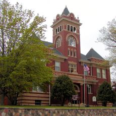
Washburn County was established in 1883 as settlements grew in the northern part of the state and local governance became necessary. Shell Lake was chosen as the county seat at that time and has held that role ever since.
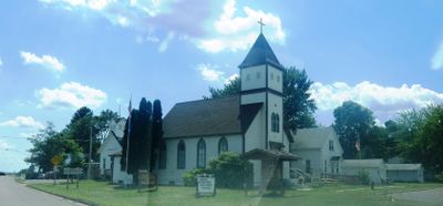
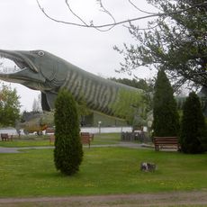
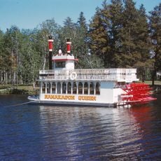
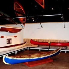
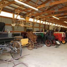
The county takes its name from Cadwallader C. Washburn, a 19th-century governor of Wisconsin whose name appears in several places across the state. Driving through the small towns, visitors notice a rural way of life where fishing, hunting, and timber work remain part of everyday routines.
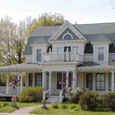
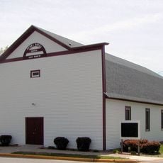
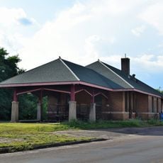
Shell Lake, as the county seat, is a practical starting point for anyone exploring the area, with basic services and a central location. Roads throughout the county are mostly rural, so having a car is the most convenient way to move between towns and natural areas.
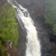
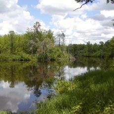
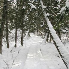
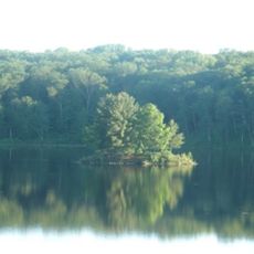
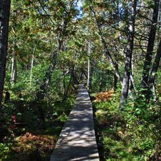
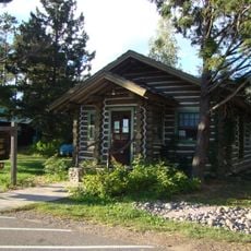
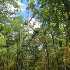
Washburn County contains more lakes than most visitors expect, and many of them have no official name and appear only on detailed local maps. Some of these unnamed lakes are reachable only by dirt roads or short hikes through the forest, making them places where almost no one else shows up.
The community of curious travelers
AroundUs brings together thousands of curated places, local tips, and hidden gems, enriched daily by 60,000 contributors worldwide.