Chest opened
+${chestReward.xp} XP
Explorer
NOUVEAU ×${chestReward.collectible.quantity}
tapez pour fermer

See the monuments around you in AR Open chests in the app

Around Us is built for your phone — point your camera at the streets and discover the monuments and places around you in augmented reality. Around Us is built for your phone — chests unlock when you walk, explore and capture nearby places.

Enable Location

We need your location to show you interesting places around you

Discover nearby places

Find interesting locations and hidden gems around you

Precise directions

Get accurate directions and distances to places

Your location is never shared with other users. It's only used when you tap the location button.

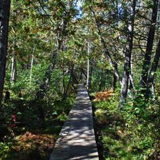
Brule River State Forest

Log in to your account

Start exploring — it's free

Trusted by 85,436 travelers worldwide

Continue with Google
Continue with Apple
or

We will send you a code to connect

By continuing, you accept our Terms and Conditions and our Privacy Policy

Check your inbox

We've sent a pincode in your inbox. Please enter the code below.

Brule River State Forest
Discussion Reviews 1 Photos
3.3k Popularity

Brule River State Forest, State forest in Douglas County, Wisconsin, United States

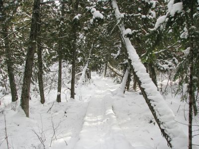
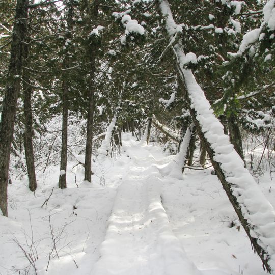
Brule River State Forest is a large wooded area in northern Wisconsin that covers about 47,000 acres of land. The forest includes rivers, wetlands, upland sections, and thick woodlands that create different habitats throughout the property.

The forest was founded in 1907 as Wisconsin's second protected forest land. Over the decades it developed into a retreat destination and became important for outdoor recreation in the region.

The North Country National Scenic Trail winds through the forest, connecting visitors to a network of paths that showcase Wisconsin's natural landscapes.

The forest has camping areas, trails for walking, and places to fish spread throughout the property. Staff from the Wisconsin Department of Natural Resources maintain the facilities and keep them open for visitors during the season.

The forest encompasses the Bois Brule River from its headwaters to Lake Superior, creating opportunities for year-round trout and salmon fishing.

The community of curious travelers

AroundUs brings together thousands of curated places, local tips, and hidden gems, enriched daily by 60,000 contributors worldwide.
Start exploring
Location
GPS coordinates
46.54190,-91.58580
Latest update
August 30, 2026 15:20
Around this place
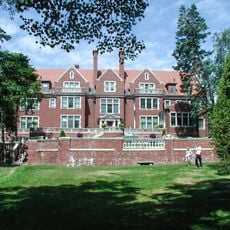
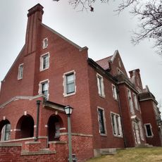
Glensheen Historic Estate
United States of America

Glensheen Historic Estate

29.1 mi
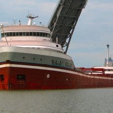
STR Edward L Ryerson
United States of America

STR Edward L Ryerson

28.1 mi
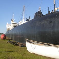
SS Meteor
United States of America

SS Meteor

25.9 mi
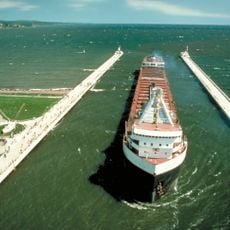
Duluth Ship Canal
United States of America

Duluth Ship Canal

29.1 mi
Amnicon Falls State Park
United States of America

Amnicon Falls State Park

15.7 mi
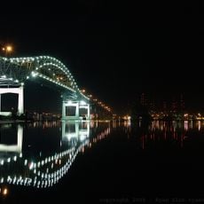
John A. Blatnik Bridge
United States of America

John A. Blatnik Bridge

28.4 mi
Pattison State Park
United States of America

Pattison State Park

25.5 mi
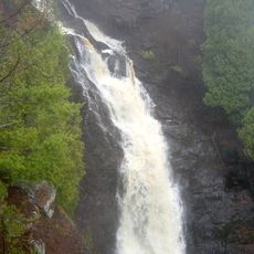
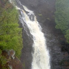
Big Manitou Falls
United States of America

Big Manitou Falls

25.5 mi
Glensheen - Historic Congdon Estate
United States of America

Glensheen - Historic Congdon Estate

29.1 mi
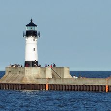
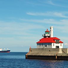
Duluth Harbor North Pier Light
United States of America

Duluth Harbor North Pier Light

29 mi
Minnesota Point Light
United States of America

Minnesota Point Light

23.9 mi
Wisconsin Point Light
United States of America

Wisconsin Point Light

23.1 mi
Cathedral of Christ the King
United States of America

Cathedral of Christ the King

27.1 mi
Duluth South Breakwater Inner Light
United States of America

Duluth South Breakwater Inner Light

29.1 mi
Duluth South Breakwater Outer Light
United States of America

Duluth South Breakwater Outer Light

29 mi
Moquah Barrens Research Natural Area
United States of America

Moquah Barrens Research Natural Area

17 mi
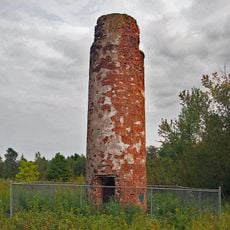
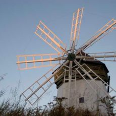
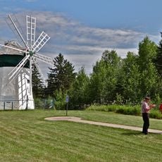
Davidson Windmill
United States of America

Davidson Windmill

16.9 mi
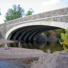
Lester River Bridge
United States of America

Lester River Bridge

28.5 mi
Brule Glacial Spillway State Natural Area
United States of America

Brule Glacial Spillway State Natural Area

11.4 mi
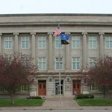
Douglas County Courthouse
United States of America

Douglas County Courthouse

27.3 mi
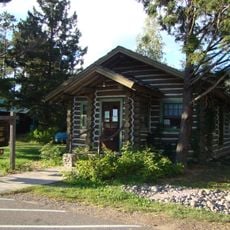
Forest Lodge Library
United States of America

Forest Lodge Library

27 mi
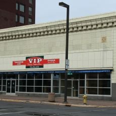
Empire Block
United States of America

Empire Block

27.6 mi
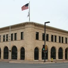
Berkshire Block
United States of America

Berkshire Block

27.7 mi
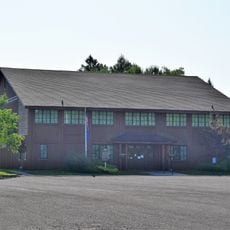
Herbster Community Center
United States of America

Herbster Community Center

25.2 mi
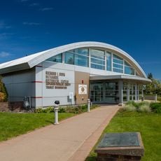
Richard I. Bong Veterans Historical Center
United States of America

Richard I. Bong Veterans Historical Center

26.1 mi
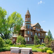
Fairlawn Mansion
United States of America

Fairlawn Mansion

25.7 mi
Davidson Windmill and Eskolin Log House
United States of America

Davidson Windmill and Eskolin Log House

16.9 mi
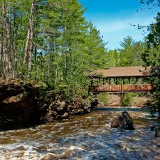
Amnicon Falls Bridge
United States of America

Amnicon Falls Bridge

15.3 mi
Show the full map
Reviews
Share your experience

No review yet

Discussions
Start a discussion...

No discussion yet

« Brule River State Forest - State forest in Douglas County, Wisconsin, United States » is provided by Around Us (aroundus.com). Images and texts are derived from Wikimedia project under a Creative Commons license. You are allowed to copy, distribute, and modify copies of this page, under the conditions set by the license, as long as this note is clearly visible.

Discover hidden gems everywhere you go!

From secret cafés to breathtaking viewpoints, skip the crowded tourist spots and find places that match your style. Our app makes it easy with voice search, smart filtering, route optimization, and insider tips from travelers worldwide. Download now for the complete mobile experience.
Around Us App Screenshot

A unique approach to discovering new places

Le Figaro

All the places worth exploring

France Info

A tailor-made excursion in just a few clicks

20 Minutes

Around Us
Travel Guide & Maps
Download

Send to your phone

QR Code
1

Open the camera app on your mobile.

2

Point at the QR code with your camera. A notification will appear.

3

Tap the notification to open the link.