Enable Location

We need your location to show you interesting places around you

Discover nearby places

Find interesting locations and hidden gems around you

Precise directions

Get accurate directions and distances to places

Your location is never shared with other users. It's only used when you tap the location button.

Potter County

Log in to your account

Start exploring — it's free

Trusted by 63,307 travelers worldwide

Continue with Google
Continue with Apple
or

We will send you a code to connect

By continuing, you accept our Terms and Conditions and our Privacy Policy

Check your inbox

We've sent a pincode in your inbox. Please enter the code below.

Discussion Reviews 1 Photos
34.1k Popularity

Potter County, Administrative county in northern Pennsylvania, United States.

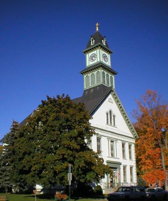
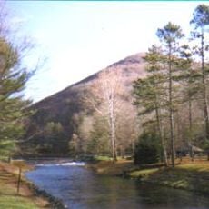
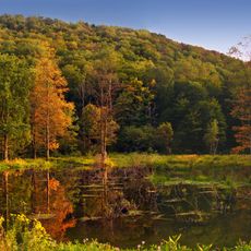
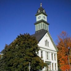
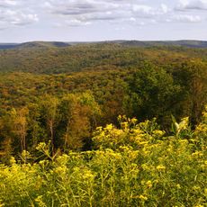
Potter County is an administrative region in northern Pennsylvania. The area is dominated by extensive forests and contains Coudersport as its county seat.

The county was separated from Lycoming County in 1804 and named after General James Potter, who served in the American Revolution. This naming honors his contribution to the independence movement.

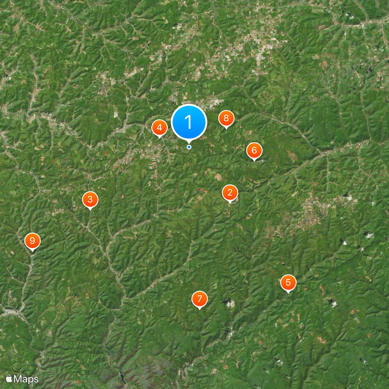
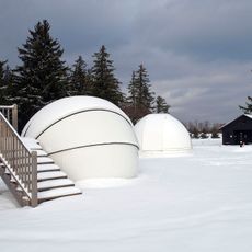
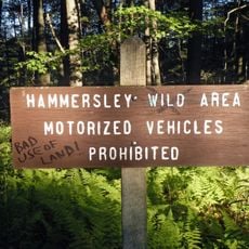
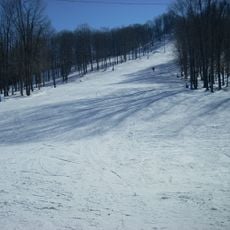
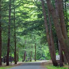
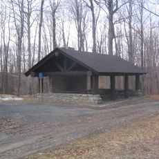
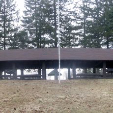
Eight state parks within Potter County, including Cherry Springs and Denton Hill, provide numerous outdoor activities for residents and visitors throughout the year.

The region is mainly rural and requires a car to move between different places. Visitors should be prepared for smaller roads and longer travel times, especially in the forested areas.

Three major water systems converge in this area: the watersheds of the Chesapeake Bay, St. Lawrence River, and Mississippi River meet here. This overlap makes it an important hub for multiple regional water systems.

The community of curious travelers

AroundUs brings together thousands of curated places, local tips, and hidden gems, enriched daily by 60,000 contributors worldwide.

Start exploring
Location
Inception
September 1, 1826
Capital city
Coudersport
Shares border with
Allegany County, Steuben County, Tioga County, Lycoming County, Clinton County, Cameron County, McKean County
GPS coordinates
41.74000,-77.90000
Latest update
December 19, 2025 23:04
Around this place
Cherry Springs State Park
United States of America

Cherry Springs State Park

10.7 km
Austin Dam
United States of America

Austin Dam

18.2 km
United States of America

Coudersport Ice Mine

4.9 km
Ole Bull State Park
United States of America

Ole Bull State Park

27.6 km
Lyman Run State Park
United States of America

Lyman Run State Park

10.4 km
Hammersley Wild Area
United States of America

Hammersley Wild Area

25.3 km
Denton Hill State Park
United States of America

Denton Hill State Park

6.6 km
Sizerville State Park
United States of America

Sizerville State Park

29.3 km
Pennsylvania Lumber Museum
United States of America

Pennsylvania Lumber Museum

8 km
Patterson State Park
United States of America

Patterson State Park

5 km
United States of America

Bucktail Path

32.1 km
Coudersport Historic District
United States of America

Coudersport Historic District

10.9 km
Potter County Courthouse
United States of America

Potter County Courthouse

10.7 km
Cherry Springs Picnic Pavilion
United States of America

Cherry Springs Picnic Pavilion

10.8 km
Susquehannock State Forest
United States of America

Susquehannock State Forest

11.9 km
United States of America

State Game Lands Number 64

21.6 km
United States of America

State Game Lands Number 59

24.4 km
United States of America

State Game Lands Number 204

20.7 km
United States of America

Sylvan Theater

10.7 km
United States of America

State Game Lands Number 208

26.7 km
United States of America

Rainbow paradise fishing park

2.6 km
United States of America

Sinnemahoning S.P. Wildlife Viewing Area

31 km
United States of America

Scenic viewpoint

12.8 km
United States of America

Water Tank Hollow Vista

13.3 km
United States of America

Scenic viewpoint

13.7 km
United States of America

Scenic viewpoint

30.2 km
United States of America

Austin Dam Overlook

18.1 km
United States of America

Scenic viewpoint

29.3 km
Show the full map
Reviews
Share your experience

No review yet

Discussions
Start a discussion...

No discussion yet

« Potter County - Administrative county in northern Pennsylvania, United States » is provided by Around Us (aroundus.com). Images and texts are derived from Wikimedia project under a Creative Commons license. You are allowed to copy, distribute, and modify copies of this page, under the conditions set by the license, as long as this note is clearly visible.

Discover hidden gems everywhere you go!

From secret cafés to breathtaking viewpoints, skip the crowded tourist spots and find places that match your style. Our app makes it easy with voice search, smart filtering, route optimization, and insider tips from travelers worldwide. Download now for the complete mobile experience.

Around Us App Screenshot

A unique approach to discovering new places

Le Figaro

All the places worth exploring

France Info

A tailor-made excursion in just a few clicks

20 Minutes

Around Us
Travel Guide & Maps
Download

Send to your phone

QR Code
1

Open the camera app on your mobile.

2

Point at the QR code with your camera. A notification will appear.

3

Tap the notification to open the link.