Unicoi County, Administrative county in Tennessee, United States
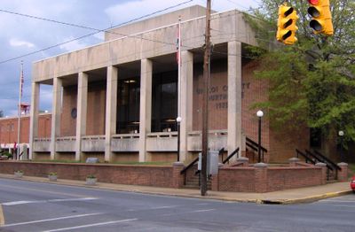
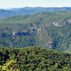
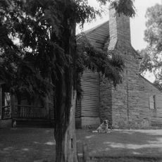
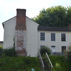
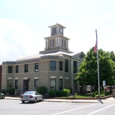
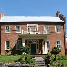
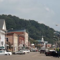
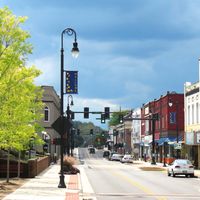
Unicoi County is an administrative county in northeastern Tennessee located within the Blue Ridge Mountains and defined by mountainous terrain with peaks reaching significant elevations. The region is characterized by forested slopes and rural development, with Erwin serving as the county seat.
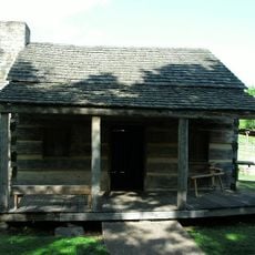
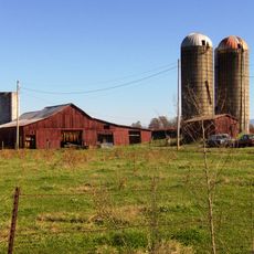
The county was established in 1875 from parts of Washington and Carter counties and initially developed as an agricultural region. Railroad construction in the 1880s transformed the economic structure and spurred industrial growth.
The name Unicoi comes from Cherokee language and refers to the white mist that often covers the mountains in this northeastern Tennessee region. This naming reflects a natural feature that visitors can still observe regularly today.
The region is best explored by car, with rural highways serving as the main routes through the mountains. Good walking shoes are recommended since the area offers opportunities for hiking and exploring the terrain.
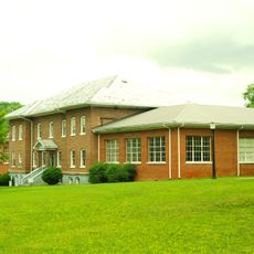
A railroad company factory in Erwin produced fine ceramic tableware known as Blue Ridge China in the early 1900s. This operation is often overlooked by visitors but represented a significant local industry of its era.
Location: Tennessee
Inception: March 23, 1875
Capital city: Erwin
Shares border with: Washington County, Carter County, Mitchell County, Yancey County, Madison County, Greene County
Website: https://unicoicountytn.com
GPS coordinates: 36.10000,-82.43000
Latest update: December 7, 2025 19:32
Western North Carolina
25.3 km
William B. Greene Jr. Stadium
22.7 km
Davy Crockett Birthplace State Park
23.4 km
Tipton-Haynes State Historic Site
23.2 km
Mountain Home National Cemetery
24 km
Earnest Farms Historic District
25.1 km
Sabine Hill
29 km
Jonesborough Historic District
21.8 km
Lamar Alexander Rocky Fork State Park
13.8 km
Bald Creek Historic District
20.9 km
Aquone
25.9 km
John Wesley McElroy House
23.4 km
Shelbridge
26 km
Yancey Collegiate Institute Historic District
23.3 km
Salem Presbyterian Church
18.4 km
Holiday Lanes
27.7 km
Mountain Branch, National Home for Disabled Volunteer Soldiers
24 km
California Creek Missionary Baptist Church
26.3 km
Yancey County Courthouse
23.5 km
Thankful Baptist Church
25.4 km
A.R. Brown House
5 km
Thomas Telford House
19.8 km
Mitchell County Courthouse
26.2 km
Jonesborough United Methodist Church
21.9 km
Henry Hoss House
23.1 km
Gate City Historic District
26.5 km
Citizens Bank Building
23.6 km
Washington College Historic District
18.3 kmVisited this place? Tap the stars to rate it and share your experience / photos with the community! Try now! You can cancel it anytime.
Discover hidden gems everywhere you go!
From secret cafés to breathtaking viewpoints, skip the crowded tourist spots and find places that match your style. Our app makes it easy with voice search, smart filtering, route optimization, and insider tips from travelers worldwide. Download now for the complete mobile experience.
A unique approach to discovering new places❞
— Le Figaro
All the places worth exploring❞
— France Info
A tailor-made excursion in just a few clicks❞
— 20 Minutes