Enable Location

We need your location to show you interesting places around you

Discover nearby places

Find interesting locations and hidden gems around you

Precise directions

Get accurate directions and distances to places

Your location is never shared with other users. It's only used when you tap the location button.

Habersham County

Log in to your account

Start exploring — it's free

Trusted by travelers worldwide

Continue with Google
Continue with Apple
or

We will send you a code to connect

By continuing, you accept our Terms and Conditions and our Privacy Policy

Check your inbox

We've sent a pincode in your inbox. Please enter the code below.

Habersham County, Administrative county in northeast Georgia, US

Description

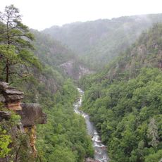
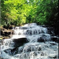
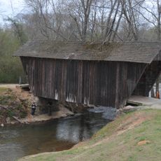
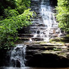
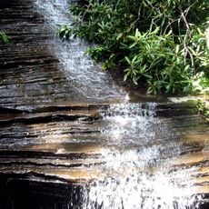
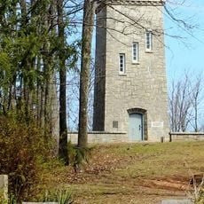
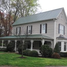
Habersham County is an administrative county in northeast Georgia that spans across mountainous terrain with several rivers including the Chattahoochee and Tallulah flowing through it. The region contains forests, farmland, and small communities scattered throughout the area.

History

The county was established on December 15, 1818, from Cherokee territories and named after Colonel Joseph Habersham of the Continental Army. Its creation marked the beginning of European-American settlement in a region previously inhabited by Native Americans.

Culture

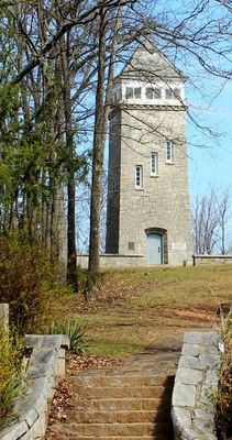
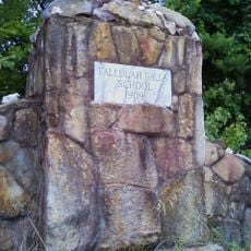
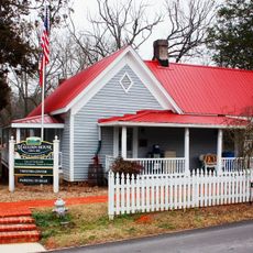
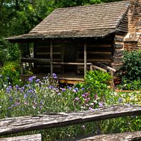
The Cornelia Railroad Depot Museum and Johnny Mize Museum show local stories through regional artifacts and historical documents. Both places display how people lived and worked in the area over time.

Practical

Visitors can find main government offices and information services in Clarkesville, which is the county seat. A car is the best way to explore the area, since attractions and communities are spread across the region.

Did you know?

A noteworthy conversion is the Arrendale State Prison, which started as a tuberculosis hospital in 1926 and became an all-female correctional facility in 2005. This unusual transformation shows how older structures in the region found new purposes.

Location
Inception
December 15, 1818
Capital city
Clarkesville
Shares border with
Rabun County, Banks County, Oconee County, Stephens County, Hall County, White County, Towns County
GPS coordinates
34.63000,-83.53000
Latest update
December 20, 2025 13:03

AroundUs brings together thousands of curated places, local tips, and hidden gems, enriched daily by 60,000 contributors worldwide. Discover all places nearby (Georgia).

Around this place
Currahee Mountain
United States of America

Currahee Mountain

18 km
United States of America

Tallulah Gorge

18 km
Tallulah Gorge State Park
United States of America

Tallulah Gorge State Park

17.4 km
Toccoa Falls
United States of America

Toccoa Falls

16 km
Minnehaha Falls
United States of America

Minnehaha Falls

13.8 km
Tallulah Falls School
United States of America

Tallulah Falls School

16.9 km
United States of America

Kenimer Site

15 km
United States of America

Tray Mountain Wilderness

23.7 km
Stovall Mill Covered Bridge
United States of America

Stovall Mill Covered Bridge

14.8 km
Caledonia Cascade
United States of America

Caledonia Cascade

18.2 km
Panther Falls
United States of America

Panther Falls

16.1 km
Chenocetah Mountain
United States of America

Chenocetah Mountain

14.4 km
Angel Falls
United States of America

Angel Falls

15.5 km
Chenocetah Fire Tower
United States of America

Chenocetah Fire Tower

14.4 km
Mauldin House Welcome Center
United States of America

Mauldin House Welcome Center

1.7 km
United States of America

John Stovall House

13.3 km
Sautee Valley Historic District
United States of America

Sautee Valley Historic District

14.5 km
Henry Asbury House
United States of America

Henry Asbury House

1.6 km
United States of America

A. P. Hill House

1.9 km
United States of America

Demorest Commercial Historic District

7.4 km
United States of America

Market Building

1.6 km
United States of America

Grimes Nose

15.6 km
United States of America

The Leon & Rachel Gathany Museum of Natural History

15.9 km
United States of America

Regional African American Museum of Northeast Georgia

13 km
United States of America

Loudermilk Boarding House Museum

13.2 km
United States of America

South Washington Street Historic District

2.8 km
United States of America

Sautee Nacoochee Center

14.8 km
United States of America

Habersham County Veterans Wall of Honor

10.7 km
Show the full map
Administrative divisions
« Habersham County - Administrative county in northeast Georgia, US » is provided by Around Us (aroundus.com). Images and texts are derived from Wikimedia project under a Creative Commons license. You are allowed to copy, distribute, and modify copies of this page, under the conditions set by the license, as long as this note is clearly visible.

Discover hidden gems everywhere you go!

From secret cafés to breathtaking viewpoints, skip the crowded tourist spots and find places that match your style. Our app makes it easy with voice search, smart filtering, route optimization, and insider tips from travelers worldwide. Download now for the complete mobile experience.

Around Us App Screenshot

A unique approach to discovering new places

Le Figaro

All the places worth exploring

France Info

A tailor-made excursion in just a few clicks

20 Minutes

Around Us
Travel Guide & Maps
Download

Send to your phone

QR Code
1

Open the camera app on your mobile.

2

Point at the QR code with your camera. A notification will appear.

3

Tap the notification to open the link.