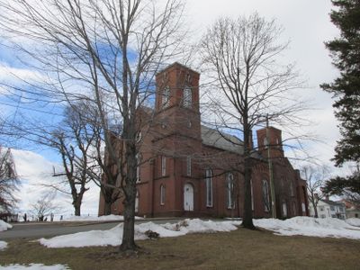
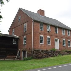
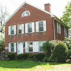
Suffield, town in Connecticut, USA
Location: Capitol Planning Region
Location: Hartford County
Elevation above the sea: 60 m
Website: https://suffieldct.gov
GPS coordinates: 41.98333,-72.69111
Latest update: May 27, 2025 11:34
Old Newgate Prison
5.1 km
Peak Mountain
4.8 km
Enders State Forest
3 km
Windsor Locks Canal State Park Trail
7.1 km
Babb's Beach
7.2 km
Bridge Street Bridge
8.2 km
West Suffield Mountain
3.9 km
Enfield–Suffield Veterans Bridge
7.3 km
Warehouse Point railroad bridge
7.8 km
Enfield–Suffield Covered Bridge
7.1 km
Suffield and Thompsonville Bridge
7.2 km
Alexander King House
3.3 km
Viets' Tavern
5.1 km
Hatheway House
3.2 km
Suffield Historic District
3.3 km
Ezekiel Phelps House
6.4 km
Bigelow-Hartford Carpet Mills Historic District
7.6 km
Hastings Hill Historic District
3.7 km
Bridge No. 455
5.9 km
Enfield Historic District
8.1 km
Noden-Reed Museum
7.1 km
East Granby Historic District
5.3 km
King's Field House
4.4 km
Benomi Case House
7.3 km
Lewis-Zukowski House
3 km
John Fuller House
4.7 km
New England Air Museum
4 km
Babbs Beach
7.5 kmReviews
Visited this place? Tap the stars to rate it and share your experience / photos with the community! Try now! You can cancel it anytime.
Discover hidden gems everywhere you go!
From secret cafés to breathtaking viewpoints, skip the crowded tourist spots and find places that match your style. Our app makes it easy with voice search, smart filtering, route optimization, and insider tips from travelers worldwide. Download now for the complete mobile experience.
A unique approach to discovering new places❞
— Le Figaro
All the places worth exploring❞
— France Info
A tailor-made excursion in just a few clicks❞
— 20 Minutes