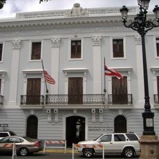
Cataño, municipality in Puerto Rico
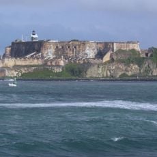
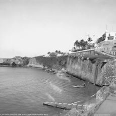
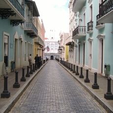
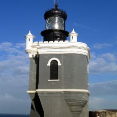
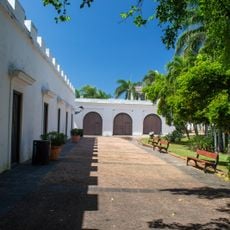
Cataño is a small town on the northern coast of Puerto Rico situated on the edge of San Juan harbor. The flat, waterside community is shaped by mangrove marshes and wetlands and offers views of the water and passing boats.
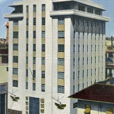
Originally called El Hato de Las Palmas, the town was part of another municipality until it became independent in 1927. The area was long known for shipbuilding and small industries before later becoming a center for rum production.
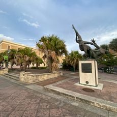
The name Cataño honors Hernando de Cataño, a doctor who worked in the area during the 1500s. Locals call their town the 'Town That Refused to Die', reflecting their resilience and strong community bonds.
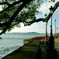
Exploring the town is straightforward on foot or by local taxi, as it is small enough to discover the waterfront and quiet neighborhoods. Public buses connect it to San Juan, and the AcuaExpreso ferry offers a quick eight-minute crossing with views of the bay.
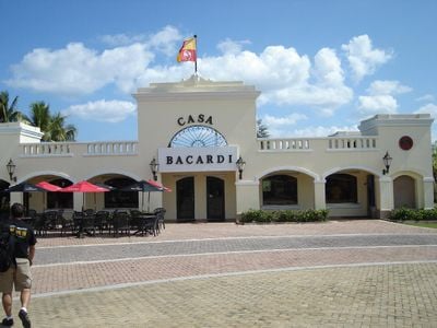
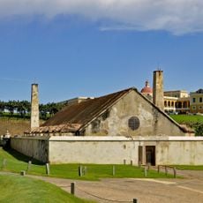
The world's largest rum factory, Casa Bacardí, has been located here since the late twentieth century and draws visitors wanting to see how this well-known spirit is made. The area is also surrounded by wetlands; the Las Cucharillas marsh protects the coast from flooding and shelters many birds and fish.
The community of curious travelers
AroundUs brings together thousands of curated places, local tips, and hidden gems, enriched daily by 60,000 contributors worldwide.