Enable Location

We need your location to show you interesting places around you

Discover nearby places

Find interesting locations and hidden gems around you

Precise directions

Get accurate directions and distances to places

Your location is never shared with other users. It's only used when you tap the location button.

Williamsburg

Log in to your account

Start exploring — it's free

Trusted by 63,423 travelers worldwide

Continue with Google
Continue with Apple
or

We will send you a code to connect

By continuing, you accept our Terms and Conditions and our Privacy Policy

Check your inbox

We've sent a pincode in your inbox. Please enter the code below.

Discussion Reviews 8 Photos
351k Popularity

Williamsburg, Residential neighborhood in North Brooklyn, United States

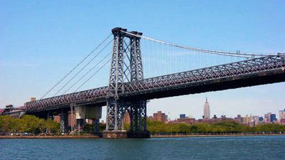
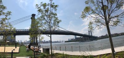
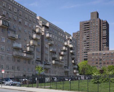
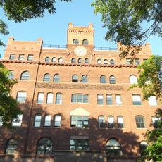
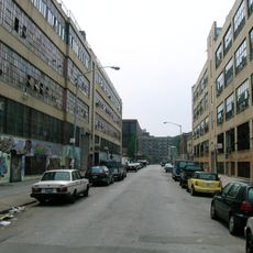
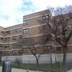
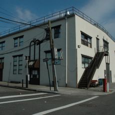
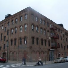
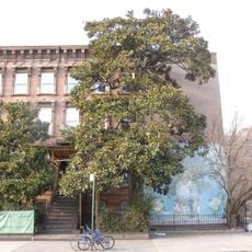
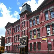
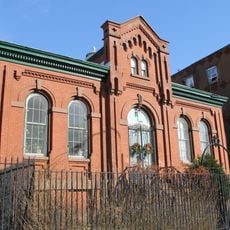
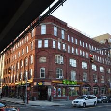
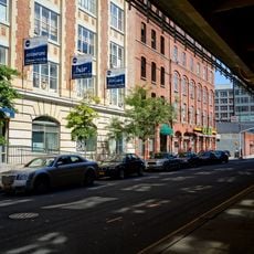
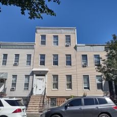
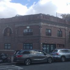
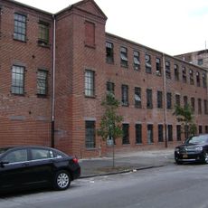
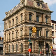
Williamsburg is a neighborhood in North Brooklyn, United States, stretching along the East River with views toward Manhattan. The streets show old brick row houses next to new glass residential buildings and converted factory halls that now serve as apartments or galleries.

Dutch colonists acquired the land from the Lenape people in the early 17th century and built farms along the riverfront. Incorporation into the city of Brooklyn came in the mid-19th century, and factories along the water drew European immigrants for work.

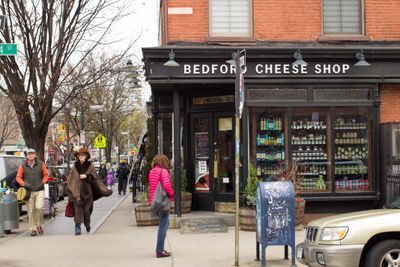
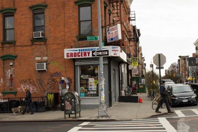
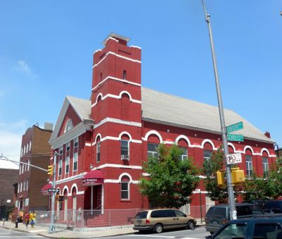
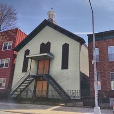
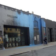
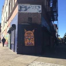
The area shows different communities living side by side: Hasidic families in the south close shops on Shabbat and walk the streets in traditional dress. In the north and eastern parts you find artist studios, Latin American restaurants, and cafés where young people sit with laptops throughout the day.

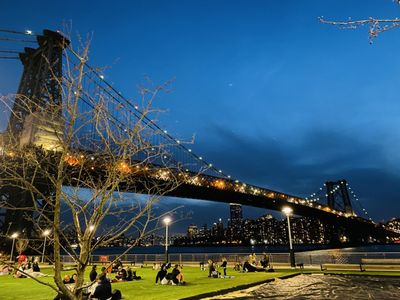
The L subway line stops at Bedford Avenue and brings visitors directly into the heart of the area, while other lines serve the southern and eastern parts. Ferries across the river offer an alternative in good weather, and the bridge can be crossed on foot or by bicycle.

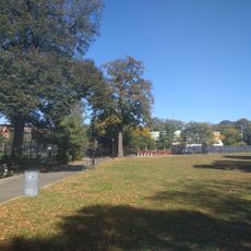
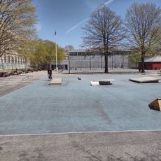
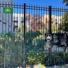
The old Domino Sugar refinery along the waterfront now stands as a public park with elevated walkways winding through the former structures. Original machinery and smokestacks remain visible among lawns and playgrounds, reminding visitors of the industrial past.

The community of curious travelers

AroundUs brings together thousands of curated places, local tips, and hidden gems, enriched daily by 60,000 contributors worldwide.

Start exploring
Location
Shares border with
Clinton Hill
GPS coordinates
40.70000,-73.95000
Latest update
December 12, 2025 19:33
Around this place
Pratt Institute
United States of America

Pratt Institute

1.5 km
Powers Street Mosque
United States of America

Powers Street Mosque

1.4 km
Eyebeam Art and Technology Center
United States of America

Eyebeam Art and Technology Center

1.3 km
McKibbin Street Lofts
United States of America

McKibbin Street Lofts

1.2 km
Williamsburg Houses
United States of America

Williamsburg Houses

1.2 km
Williamsburgh Savings Bank Building
United States of America

Williamsburgh Savings Bank Building

1.6 km
Herbert Von King Park
United States of America

Herbert Von King Park

1.2 km
Kehilas Yetev Lev D'Satmar
United States of America

Kehilas Yetev Lev D'Satmar

1.1 km
William Ulmer Brewery
United States of America

William Ulmer Brewery

1.1 km
Magnolia grandiflora
United States of America

Magnolia grandiflora

1.1 km
Congregation Beth Jacob Ohev Sholom
United States of America

Congregation Beth Jacob Ohev Sholom

1 km
The City Reliquary
United States of America

The City Reliquary

1.6 km
United States of America

Grand Street Campus

1.6 km
Pratt Institute Libraries
United States of America

Pratt Institute Libraries

1.6 km
St. Mary's Episcopal Church
United States of America

St. Mary's Episcopal Church

1.2 km
Macri Triangle
United States of America

Macri Triangle

1.6 km
Martinez Playground
United States of America

Martinez Playground

1.1 km
Public School 71K
United States of America

Public School 71K

592 m
Colored School No. 3
United States of America

Colored School No. 3

948 m
Rockwood Chocolate Factory Historic District
United States of America

Rockwood Chocolate Factory Historic District

1.6 km
Palisades
United States of America

Palisades

1.1 km
Wallabout Industrial Historic District
United States of America

Wallabout Industrial Historic District

1.5 km
The Bone Museum
United States of America

The Bone Museum

1.3 km
99 Ryerson Street
United States of America

99 Ryerson Street

1.4 km
Wilson Theater
United States of America

Wilson Theater

1.2 km
Industrial Complex at 221 McKibbin Street
United States of America

Industrial Complex at 221 McKibbin Street

1.1 km
Sunshine Community Garden
United States of America

Sunshine Community Garden

766 m
Williamsburg Art & Historical Center
United States of America

Williamsburg Art & Historical Center

1.6 km
Show the full map
Reviews
Share your experience

No review yet

Discussions
Start a discussion...

No discussion yet

« Williamsburg - Residential neighborhood in North Brooklyn, United States » is provided by Around Us (aroundus.com). Images and texts are derived from Wikimedia project under a Creative Commons license. You are allowed to copy, distribute, and modify copies of this page, under the conditions set by the license, as long as this note is clearly visible.

Discover hidden gems everywhere you go!

From secret cafés to breathtaking viewpoints, skip the crowded tourist spots and find places that match your style. Our app makes it easy with voice search, smart filtering, route optimization, and insider tips from travelers worldwide. Download now for the complete mobile experience.

Around Us App Screenshot

A unique approach to discovering new places

Le Figaro

All the places worth exploring

France Info

A tailor-made excursion in just a few clicks

20 Minutes

Around Us
Travel Guide & Maps
Download

Send to your phone

QR Code
1

Open the camera app on your mobile.

2

Point at the QR code with your camera. A notification will appear.

3

Tap the notification to open the link.