·

Enable Location

We need your location to show you interesting places around you

Discover nearby places

Find interesting locations and hidden gems around you

Precise directions

Get accurate directions and distances to places

Your location is never shared with other users. It's only used when you tap the location button.

Kettering

Log in to your account

Start exploring — it's free

Trusted by 62,640 travelers worldwide

Continue with Google
Continue with Apple
or

We will send you a code to connect

By continuing, you accept our Terms and Conditions and our Privacy Policy

Check your inbox

We've sent a pincode in your inbox. Please enter the code below.

Kettering, Educational suburb in Montgomery County, Ohio, United States

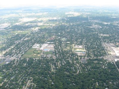
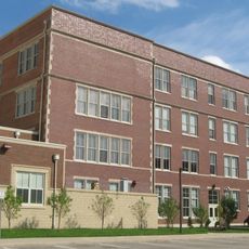
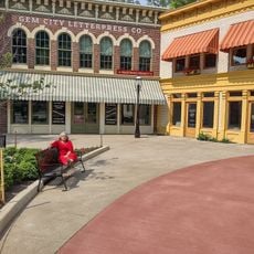
Kettering is a city that covers an area across Montgomery and Greene counties near Dayton, serving as a residential hub for families and working professionals. Schools, parks, and local businesses shape the everyday landscape and provide the essential services that define community life.

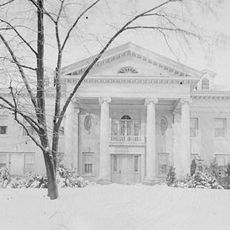
The area began as farmland and became Van Buren Township in 1841, undergoing major changes during the twentieth century as residents moved to the suburbs. It officially became the city of Kettering in 1955, marking the shift from rural to modern suburban development.

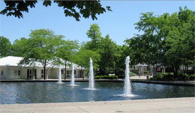
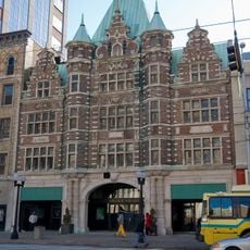
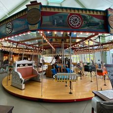
The Rosewood Arts Center serves as a gathering place where locals and visitors engage in creative projects throughout the year. Classes, exhibitions, and events here reflect how residents use art to connect with one another and their surroundings.

Regular bus services operated by the Greater Dayton Regional Transit Authority make it easy to get around and connect to nearby areas. Visitors can navigate the city and reach local attractions without needing a car for all journeys.

Charles F. Kettering, the inventor and businessman for whom the city is named, called the area home for several decades and influenced local development. His legacy connects the city to early automotive innovation and the broader history of American engineering.

The community of curious travelers

AroundUs brings together thousands of curated places, local tips, and hidden gems, enriched daily by 60,000 contributors worldwide.

Start exploring
Location
Inception
1955
Elevation above the sea
307 m
Shares border with
Oakwood
GPS coordinates
39.69722,-84.15222
Latest update
December 14, 2025 18:24
Around this place
Wright Flyer III
United States of America

Wright Flyer III

5.5 km
Dayton Project
United States of America

Dayton Project

3.8 km
UD Arena
United States of America

UD Arena

5.9 km
Carillon Historical Park
United States of America

Carillon Historical Park

5.4 km
Hawthorn Hill
United States of America

Hawthorn Hill

3.5 km
Dayton Arcade
United States of America

Dayton Arcade

7.6 km
SunWatch Indian Village
United States of America

SunWatch Indian Village

7.1 km
Woodland Cemetery and Arboretum
United States of America

Woodland Cemetery and Arboretum

5.6 km
Welcome Stadium
United States of America

Welcome Stadium

5.9 km
Fraze Pavilion
United States of America

Fraze Pavilion

522 m
Stivers School for the Arts
United States of America

Stivers School for the Arts

7.2 km
Charles F. Kettering House
United States of America

Charles F. Kettering House

3.6 km
America's Packard Museum
United States of America

America's Packard Museum

7.1 km
Carillon Historical Park
United States of America

Carillon Historical Park

5.4 km
Southern Ohio Lunatic Asylum
United States of America

Southern Ohio Lunatic Asylum

4.6 km
Centre City Building
United States of America

Centre City Building

7.6 km
Newcom Tavern
United States of America

Newcom Tavern

5.4 km
Patterson Homestead
United States of America

Patterson Homestead

4.9 km
Dayton Daily News Building
United States of America

Dayton Daily News Building

7.6 km
Lewis Kemp House
United States of America

Lewis Kemp House

7.1 km
Rudolph Pretzinger House
United States of America

Rudolph Pretzinger House

6.2 km
40 West 4th Centre
United States of America

40 West 4th Centre

7.6 km
Eagles Building
United States of America

Eagles Building

7.2 km
Kelly Family Home
United States of America

Kelly Family Home

6.6 km
Samuel N. Brown House
United States of America

Samuel N. Brown House

5.5 km
Dayton Motor Car Company Historic District
United States of America

Dayton Motor Car Company Historic District

7.5 km
John W. Berry Sr. Wright Brothers National Museum
United States of America

John W. Berry Sr. Wright Brothers National Museum

5.4 km
Patterson Homestead
United States of America

Patterson Homestead

4.9 km
Show the full map
« Kettering - Educational suburb in Montgomery County, Ohio, United States » is provided by Around Us (aroundus.com). Images and texts are derived from Wikimedia project under a Creative Commons license. You are allowed to copy, distribute, and modify copies of this page, under the conditions set by the license, as long as this note is clearly visible.

Discover hidden gems everywhere you go!

From secret cafés to breathtaking viewpoints, skip the crowded tourist spots and find places that match your style. Our app makes it easy with voice search, smart filtering, route optimization, and insider tips from travelers worldwide. Download now for the complete mobile experience.

Around Us App Screenshot

A unique approach to discovering new places

Le Figaro

All the places worth exploring

France Info

A tailor-made excursion in just a few clicks

20 Minutes

Around Us
Travel Guide & Maps
Download

Send to your phone

QR Code
1

Open the camera app on your mobile.

2

Point at the QR code with your camera. A notification will appear.

3

Tap the notification to open the link.