Greeneville, Administrative town in Greene County, Tennessee, United States.
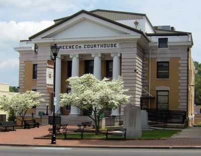
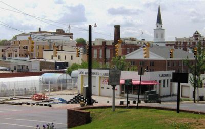
Greeneville is a town in Greene County, Tennessee, sitting at an elevation of 463 meters (1,519 feet) in the Appalachian foothills. Streets fan out from a central courthouse square, with residential neighborhoods and commercial zones extending into the surrounding valleys near the Nolichucky River watershed.
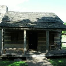
The settlement was founded in 1783 and briefly served as capital of the short-lived State of Franklin. After that territory dissolved, control returned to North Carolina before Tennessee became a separate state.
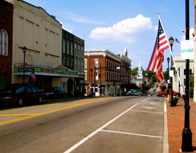
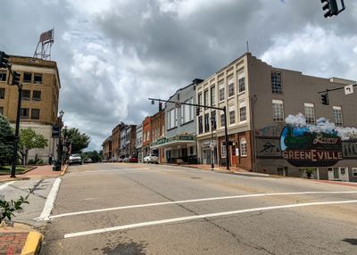
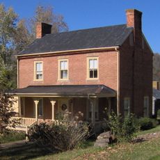
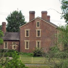
The downtown preserves red brick storefronts from the 1800s, many still serving as working businesses and law offices. Visitors can experience a farmers market on Saturday mornings at Courthouse Square, where regional growers sell produce and handmade goods.
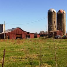
The town works well as a base for exploring the Appalachian foothills, with most destinations accessible by car. Walking tours of the historic core are manageable in length, allowing visitors to see buildings from different eras within a short distance.
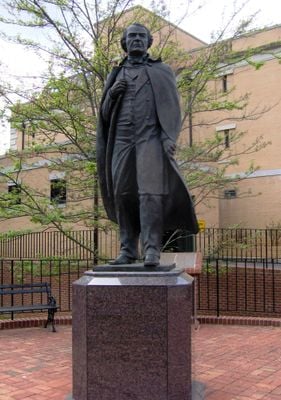
A burial site at Andrew Johnson Cemetery marks the resting place of a president who never attended school and learned to read from his wife. The nearby Niswonger Performing Arts Center combines contemporary architecture with regional programming in an otherwise rural setting.
Location: Greene County
Inception: 1783
Elevation above the sea: 463 m
Website: http://greenevilletn.gov
GPS coordinates: 36.16861,-82.81333
Latest update: December 4, 2025 23:43
Photo license: CC BY 3.0
Andrew Johnson National Cemetery
2.7 km
Davy Crockett Birthplace State Park
14.7 km
Earnest Farms Historic District
12.4 km
Amis House
30.7 km
Greeneville Historic District
1.7 km
Rogersville Historic District
31.7 km
Jonesborough Historic District
33.5 km
Lamar Alexander Rocky Fork State Park
25.4 km
Hawkins County Courthouse
31.6 km
Swaggerty Blockhouse
28.9 km
Overton Lodge
32 km
Bulls Gap Historic District
26.4 km
Conway Bridge
28.5 km
Maden Hall Farm
5.7 km
Price Public Elementary School
32 km
St. Marks Presbyterian Church
32 km
Rural Mount
33.9 km
New Providence Presbyterian Church, Academy, and Cemetery
36.4 km
Salem Presbyterian Church
22.4 km
Stony Point
35.7 km
Thomas Telford House
19.3 km
Jonesborough United Methodist Church
33.3 km
Henry Hoss House
34.9 km
Gate City Historic District
25.8 km
Sunnybank
30.9 km
Waterfall on West Prong Hickey Fork
21.1 km
Sulphur Springs Methodist Campground
31.5 km
St. Paul Presbyterian Church
37.1 kmVisited this place? Tap the stars to rate it and share your experience / photos with the community! Try now! You can cancel it anytime.
Discover hidden gems everywhere you go!
From secret cafés to breathtaking viewpoints, skip the crowded tourist spots and find places that match your style. Our app makes it easy with voice search, smart filtering, route optimization, and insider tips from travelers worldwide. Download now for the complete mobile experience.
A unique approach to discovering new places❞
— Le Figaro
All the places worth exploring❞
— France Info
A tailor-made excursion in just a few clicks❞
— 20 Minutes