Flagstaff Lake, Reservoir in Somerset and Franklin Counties, Maine, United States.
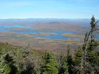
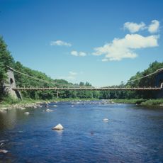
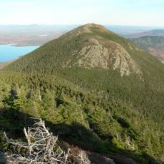
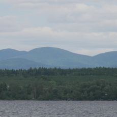
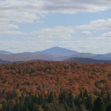
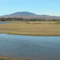
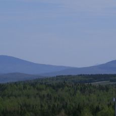
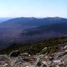
Flagstaff Lake is a reservoir located across Somerset and Franklin Counties, stretching through the Dead River Valley. The water body covers approximately 20,300 acres with depths reaching about 48 feet, with the Bigelow Mountain Range forming a backdrop.
The Long Falls Dam was built in 1950, transforming the area into a controlled reservoir. The construction caused three towns to be submerged beneath the new water level.
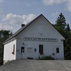
The lake takes its name from a former village where Benedict Arnold's expedition planted a flag during their journey through Maine's wilderness. This naming connects the place to an early chapter of exploration history that remains in local memory.
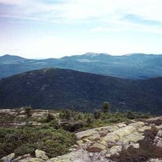
The lake offers kayaking, fishing for landlocked salmon, and hiking along stretches of its largely undeveloped shore. Conditions and accessibility vary with the seasons, so planning ahead based on weather and water levels is helpful.
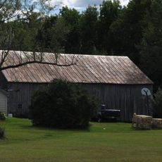
When water levels drop, the foundations and streets of the submerged towns become visible, revealing remnants of the communities that once existed there. These glimpses occasionally expose old structures or artifacts from before the flooding.
The community of curious travelers
AroundUs brings together thousands of curated places, local tips, and hidden gems, enriched daily by 60,000 contributors worldwide.