East Kennebago Mountain, Summit in Franklin County, Maine, US
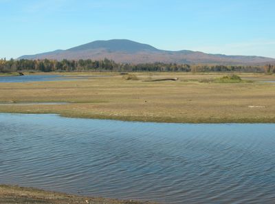
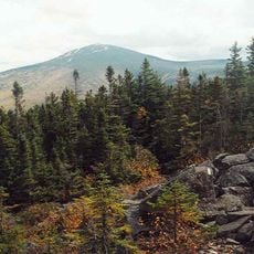
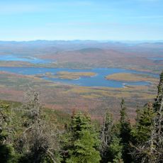
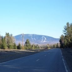
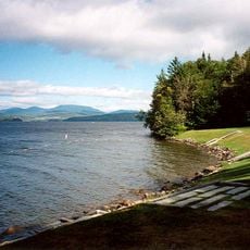
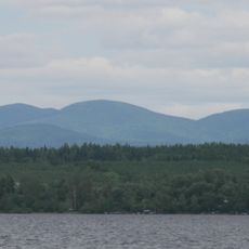
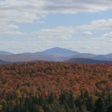
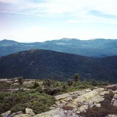
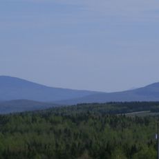
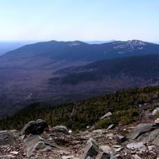
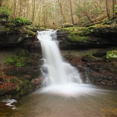
East Kennebago Mountain is a summit in Franklin County that rises to about 3,789 feet and feeds several waterways flowing toward the Dead River and Kennebago Lake. The surrounding landscape consists of dense forest and natural clearings that shape the terrain throughout the year.
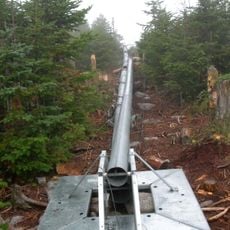
The mountain was part of a logging region where timber workers built access roads over generations to transport resources from the area. These historic routes now form the main ways to reach the summit and tell the story of the region's industrial past.
Local hiking communities maintain detailed records of trail conditions and seasonal changes, contributing to a collective knowledge base for mountain expeditions.
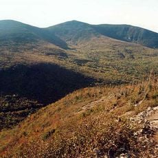
The ascent requires combining old logging roads with bushwhacking through dense brush, since marked hiking trails do not exist here. Good navigation skills and sturdy footwear are needed to move safely through this undeveloped terrain.
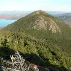
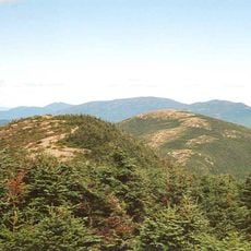
The summit ranks among the 100 highest peaks in New England and offers views of nearby mountains like Tim Mountain and Blackcat Mountain. This standing makes it a valued spot for peak baggers exploring this regional list.
The community of curious travelers
AroundUs brings together thousands of curated places, local tips, and hidden gems, enriched daily by 60,000 contributors worldwide.