
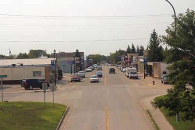
Stanley, city in North Dakota, US
Location: Mountrail County
Inception: 1902
Elevation above the sea: 684 m
Website: http://stanleynd.com
GPS coordinates: 48.31472,-102.38833
Latest update: March 16, 2025 04:32

Bakken formation
41.7 km
91st Missile Wing LGM-30 Minuteman Missile Launch Sites
70.8 km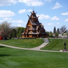
Scandinavian Heritage Park
81.4 km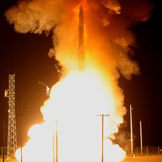
740th Missile Squadron
77 km
741st Missile Squadron
77 km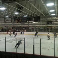
Maysa Arena
79.1 km
Four Bears Bridge
39.5 km
Dakota Territory Air Museum
81.6 km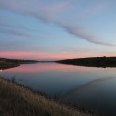
Des Lacs National Wildlife Refuge
62.6 km
Crow Flies High State Recreation Area
38.8 km
742d Missile Squadron
77 km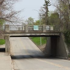
Great Northern Railway Underpass
570 m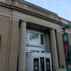
Taube Museum of Art
81.6 km
Lostwood Wilderness
37.6 km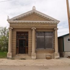
Portal State Bank
76.7 km
Old Main (Minot State University)
80.9 km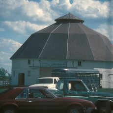
Niels Nielsen Fourteen-Side Barn Farm
71.3 km
Minot Carnegie Library
81.8 km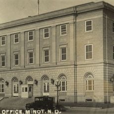
Bruce M. Van Sickle Federal Building and U.S. Courthouse
81.6 km
Ray Opera House
57.7 km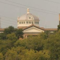
Mountrail County Courthouse
737 m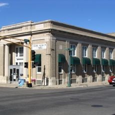
Union National Bank and Annex
81.7 km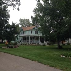
Tufveson House
80.9 km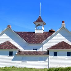
Wabek Consolidated School
50.2 km
Andrew Carr, Sr., House
80.9 km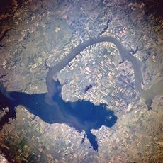
Van Hook State Wildlife Management Area
40.1 km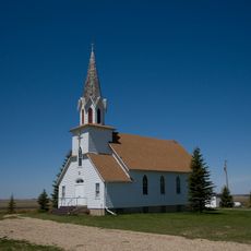
First English Free Lutheran Church (Lostwood)
18.1 km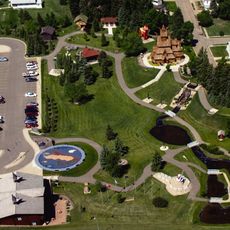
Scandinavian Heritage Association
81.5 kmReviews
Visited this place? Tap the stars to rate it and share your experience / photos with the community! Try now! You can cancel it anytime.
Discover hidden gems everywhere you go!
From secret cafés to breathtaking viewpoints, skip the crowded tourist spots and find places that match your style. Our app makes it easy with voice search, smart filtering, route optimization, and insider tips from travelers worldwide. Download now for the complete mobile experience.

A unique approach to discovering new places❞
— Le Figaro
All the places worth exploring❞
— France Info
A tailor-made excursion in just a few clicks❞
— 20 Minutes