
Barceloneta, municipality in Puerto Rico
Location: Puerto Rico
Inception: July 1, 1881
Elevation above the sea: 3 m
Shares border with: Arecibo, Florida, Manatí
GPS coordinates: 18.45056,-66.53861
Latest update: March 8, 2025 01:07
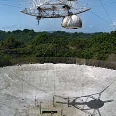
Arecibo Observatory
25.5 km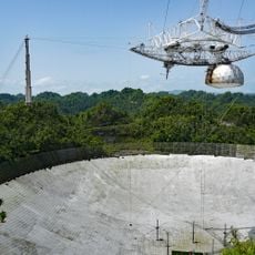
Arecibo Radio Telescope
25.5 km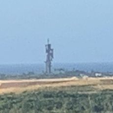
Birth of the New World
10.3 km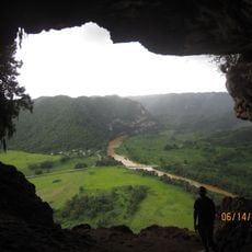
Cueva Ventana
18.4 km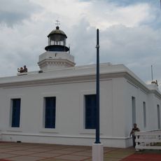
Arecibo Light
17.3 km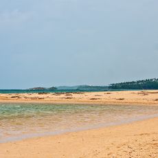
Mar Bella Beach
15.6 km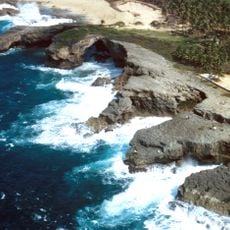
Cueva del Indio
11.8 km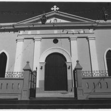
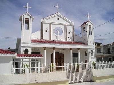
Nuestra Señora de la Candelaria y San Matías Church
5.4 km
Cambalache State Forest
6.2 km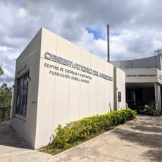
Arecibo Observatory
25.4 km
Casa de la Diosa Mita
19.2 km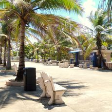
Paseo Víctor Rojas
18.4 km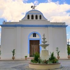
Inmaculada Concepción Church
22.4 km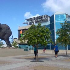
Museo de Vida Silvestre
21.4 km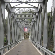
Manatí Bridge at Mata de Plátano
11.8 km
Vega State Forest
20.3 km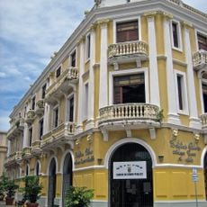
Edificio Oliver
18.8 km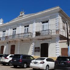
Palacio del Marqués de las Claras
18.8 km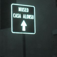
Casa Alonso
16.1 km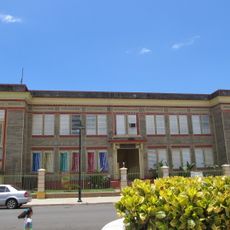
Rafael Balseiro Maceira School
218 m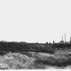
Cambalache Bridge
17.3 km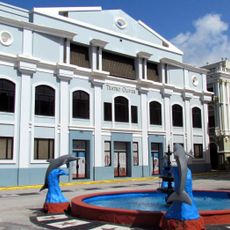
Corregimiento Plaza Theater
18.8 km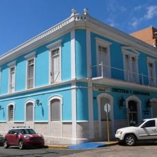
Gonzalo Marín 101
18.8 km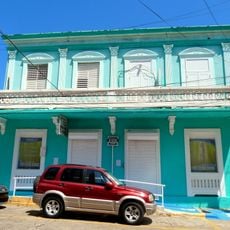
Casa Córdova
18.6 km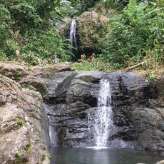
Cascada Las Delicias
24.6 km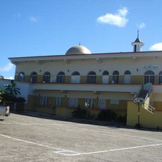
Al-Faruq Mosque
20.6 km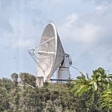
Arecibo 12m radio telescope
25.2 km
Place des Halles
13.9 kmReviews
Visited this place? Tap the stars to rate it and share your experience / photos with the community! Try now! You can cancel it anytime.
Discover hidden gems everywhere you go!
From secret cafés to breathtaking viewpoints, skip the crowded tourist spots and find places that match your style. Our app makes it easy with voice search, smart filtering, route optimization, and insider tips from travelers worldwide. Download now for the complete mobile experience.

A unique approach to discovering new places❞
— Le Figaro
All the places worth exploring❞
— France Info
A tailor-made excursion in just a few clicks❞
— 20 Minutes