Shirley, town in Middlesex County, Massachusetts, United States
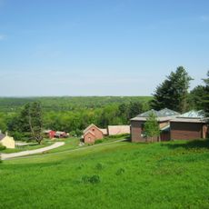
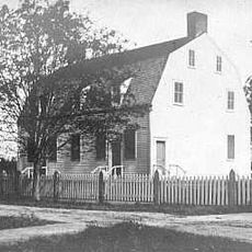
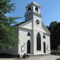
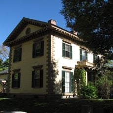
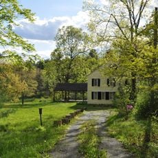
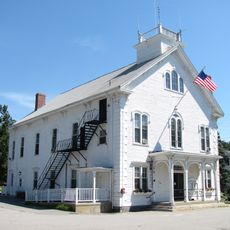
Shirley is a small town in Middlesex County, Massachusetts, characterized by rolling hills and open farmland surrounding a compact town center. A distinctive white-spired meetinghouse built in 1773 stands prominently above the trees, flanked by well-maintained historic homes and local shops.
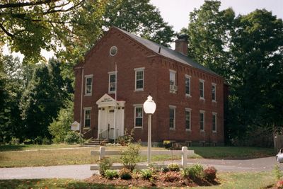
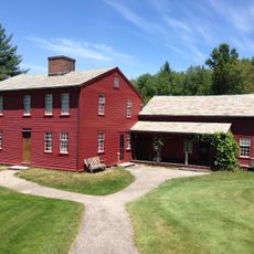
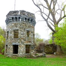
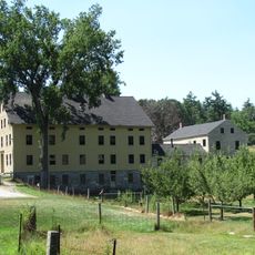
Shirley was settled in 1720 and officially incorporated as a town in 1753, named after governor William Shirley. A Shaker community flourished here in the late 1700s, reaching about 150 members at its peak before gradually declining, with the last member dying in 1905.
The name Shirley comes from former governor William Shirley, reflecting the town's direct link to its founding. Residents gather at community events and in the town center, where the white-spired meetinghouse serves as a focal point for sharing local stories and celebrating their heritage.
The town is best explored on foot, with open streets connecting the town center, parks, and local shops. A commuter rail station in Shirley Village provides access to the wider region and Boston.
Earl Tupper, inventor of Tupperware, and Benton MacKaye, who conceived the Appalachian Trail idea, both originated from Shirley. These two notable figures show how this small town produced ideas that spread far beyond its borders.
The community of curious travelers
AroundUs brings together thousands of curated places, local tips, and hidden gems, enriched daily by 60,000 contributors worldwide.