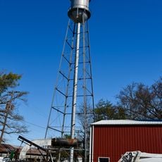
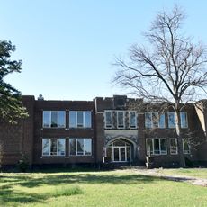
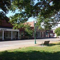
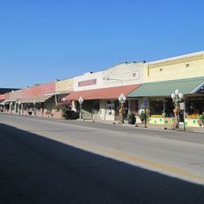
Wilson, human settlement in Mississippi County, Arkansas, United States of America
Location: Mississippi County
Inception: March 19, 1959
Elevation above the sea: 73 m
GPS coordinates: 35.56778,-90.04361
Latest update: March 7, 2025 09:20
Farm No. 266—Johnny Cash Boyhood Home
18.5 km
Fort Pillow State Park
19.8 km
Meeman-Shelby Forest State Park
25 km
Nodena Site
8.5 km
Big Lake National Wildlife Refuge
39.4 km
Memphis Tennessee Temple
40.8 km
Hampson Archeological Museum State Park
411 m
Herman Davis State Park
35.7 km
Marked Tree Lock and Siphons
35 km
Mississippi County Courthouse
16.5 km
Tyronza Water Tower
29.8 km
Bank of Osceola
16.6 km
City Hall
16.4 km
Osceola Times Building
16.5 km
Keiser Water Tower
13.1 km
Keiser School
12.7 km
Hale Avenue Historic District
16.4 km
Lepanto Commercial Historic District
26.4 km
Wilson Residential Historic District
2 km
Florida Brothers Building
16.4 km
Tyronza Methodist Episcopal Church, South
29.9 km
Wilson Community House
383 m
Old Turrell City Hall
28.5 km
Chris Tompkins House
29.2 km
Johnny Cash Boyhood Home
18.5 km
Fort Pillow State Historic Park
18.8 km
Wilson Commercial Historic District
105 m
Jonesboro, Lake City & Eastern Railroad Steam Locomotive #34 and Associated Rolling Stock
21 kmReviews
Visited this place? Tap the stars to rate it and share your experience / photos with the community! Try now! You can cancel it anytime.
Discover hidden gems everywhere you go!
From secret cafés to breathtaking viewpoints, skip the crowded tourist spots and find places that match your style. Our app makes it easy with voice search, smart filtering, route optimization, and insider tips from travelers worldwide. Download now for the complete mobile experience.
A unique approach to discovering new places❞
— Le Figaro
All the places worth exploring❞
— France Info
A tailor-made excursion in just a few clicks❞
— 20 Minutes