Enable Location

We need your location to show you interesting places around you

Discover nearby places

Find interesting locations and hidden gems around you

Precise directions

Get accurate directions and distances to places

Your location is never shared with other users. It's only used when you tap the location button.

Cheyenne River Indian Reservation

Log in to your account

Start exploring — it's free

Trusted by 68,220 travelers worldwide

Continue with Google
Continue with Apple
or

We will send you a code to connect

By continuing, you accept our Terms and Conditions and our Privacy Policy

Check your inbox

We've sent a pincode in your inbox. Please enter the code below.

Discussion Reviews 1 Photos
36.2k Popularity

Cheyenne River Indian Reservation, Native American reservation in South Dakota, United States

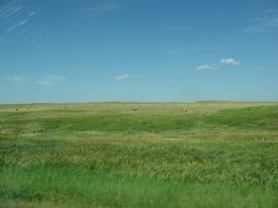
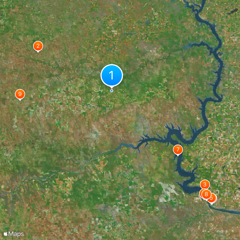
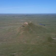
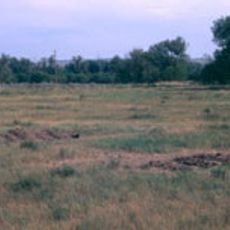
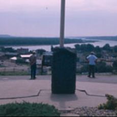
Cheyenne River Indian Reservation spans across several counties in eastern South Dakota with scattered trust lands throughout the region. The territory is home to four bands of the Lakota Nation and includes grasslands and river landscapes that define the area.

The reservation was established in 1889 when the U.S. government divided the Great Sioux Reservation following decades of conflict with Lakota peoples. This division marked a major turning point in the relationship between the federal government and the tribes of the region.

The reservation is home to the Cheyenne River Sioux, where Lakota language and traditional ceremonies remain central to community life. Visitors can sense the deep connection between the people and their ancestral lands.

The reservation is largely rural, best explored with a vehicle to cover distances between communities. Basic services and facilities are available in the main towns, though visitors should plan ahead for supplies and accommodations.

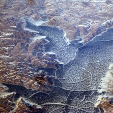
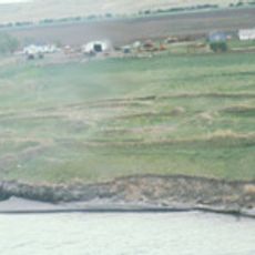
Hydroelectric projects on the Missouri River in the mid-20th century flooded portions of the original territory. This transformation of the landscape had lasting effects on traditional habitats and settlement patterns for the community.

The community of curious travelers

AroundUs brings together thousands of curated places, local tips, and hidden gems, enriched daily by 60,000 contributors worldwide.

Start exploring
Location
Inception
1889
GPS coordinates
45.07639,-101.22583
Latest update
December 17, 2025 11:07
Around this place
Thunder Butte
United States of America

Thunder Butte

58.1 km
Lake Oahe
United States of America

Lake Oahe

95.3 km
South Dakota Governor's Residence
United States of America

South Dakota Governor's Residence

105.7 km
South Dakota State Capitol
United States of America

South Dakota State Capitol

105.2 km
Pierre Shale
United States of America

Pierre Shale

99.5 km
United States of America

Fort Bennett

64.5 km
Fort Pierre Chouteau
United States of America

Fort Pierre Chouteau

101 km
United States of America

Bethel Lutheran Church

64.2 km
United States of America

Farm Island Recreation Area

111.2 km
Verendrye Site
United States of America

Verendrye Site

104.5 km
Molstad Village
United States of America

Molstad Village

80.4 km
Chicago and North Western Railroad Bridge
United States of America

Chicago and North Western Railroad Bridge

103.5 km
United States of America

South Dakota Cultural Heritage Center

105.2 km
Hughes County Courthouse
United States of America

Hughes County Courthouse

104.8 km
I. W. Goodner House
United States of America

I. W. Goodner House

104 km
Peter Hansen House
United States of America

Peter Hansen House

105.3 km
St. Charles Hotel
United States of America

St. Charles Hotel

104.9 km
Farr House
United States of America

Farr House

104.7 km
Dr. William and Elizabeth Blackburn House
United States of America

Dr. William and Elizabeth Blackburn House

106.7 km
Ziebach County Courthouse
United States of America

Ziebach County Courthouse

29.8 km
Dakota Club Library
United States of America

Dakota Club Library

8.7 km
Pierre Masonic Lodge
United States of America

Pierre Masonic Lodge

83.8 km
United States of America

Faith Municipal Building

64.2 km
Fort Pierre Congregational Church
United States of America

Fort Pierre Congregational Church

104.9 km
Brink-Wegner House
United States of America

Brink-Wegner House

104.1 km
Laurens Polygonal Hog House
United States of America

Laurens Polygonal Hog House

7.7 km
Karcher–Sahr House
United States of America

Karcher–Sahr House

105.1 km
John E. and Ruth Hipple House
United States of America

John E. and Ruth Hipple House

105 km
Show the full map
Reviews
Share your experience

No review yet

Discussions
Start a discussion...

No discussion yet

« Cheyenne River Indian Reservation - Native American reservation in South Dakota, United States » is provided by Around Us (aroundus.com). Images and texts are derived from Wikimedia project under a Creative Commons license. You are allowed to copy, distribute, and modify copies of this page, under the conditions set by the license, as long as this note is clearly visible.

Discover hidden gems everywhere you go!

From secret cafés to breathtaking viewpoints, skip the crowded tourist spots and find places that match your style. Our app makes it easy with voice search, smart filtering, route optimization, and insider tips from travelers worldwide. Download now for the complete mobile experience.

Around Us App Screenshot

A unique approach to discovering new places

Le Figaro

All the places worth exploring

France Info

A tailor-made excursion in just a few clicks

20 Minutes

Around Us
Travel Guide & Maps
Download

Send to your phone

QR Code
1

Open the camera app on your mobile.

2

Point at the QR code with your camera. A notification will appear.

3

Tap the notification to open the link.