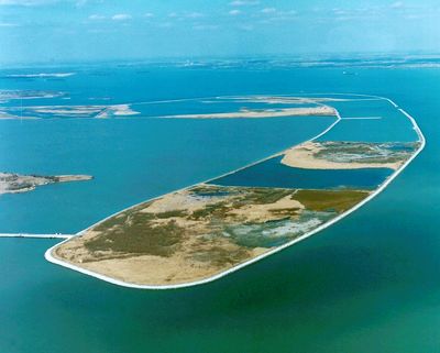
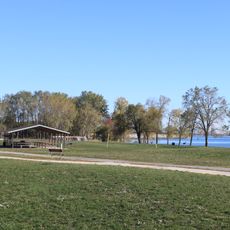
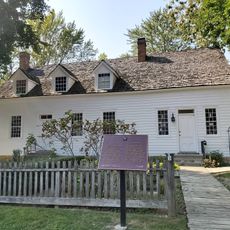
Pointe Mouillee State Game Area, Protected wetland area at Lake Erie, Michigan, United States.
Pointe Mouillee State Game Area is a protected wetland preserve located where the Huron River meets Lake Erie, combining open water, marshland, and higher ground into a single landscape. The site encompasses thousands of acres of interconnected habitats that support waterfowl, fish, and other wildlife.
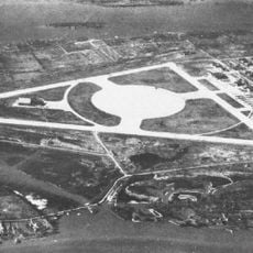
French fur traders named the location in the 17th century, with the term Mouillee referring to the wet nature of the point. Most of what visitors see today was reconstructed during restoration efforts that took place over several decades beginning in the 1980s.
The area draws visitors interested in watching waterfowl and observing how seasonal migration shapes the landscape throughout the year. People come to experience the natural cycles of the wetland as different bird species arrive and nest at different times.
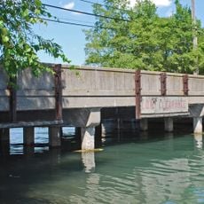
The area has boat launch points that allow visitors to access the waterways and explore the marshes by water. The best time to visit depends on which birds you want to observe, since different species arrive during different seasons.
Much of the site was built from sediment dredged from the Detroit River during maintenance work and used to construct the marsh landscape. This surprising connection between an urban waterway and a remote nature preserve shows how restoration projects can repurpose materials from cities.
The community of curious travelers
AroundUs brings together thousands of curated places, local tips, and hidden gems, enriched daily by 60,000 contributors worldwide.