Chest opened
+${chestReward.xp} XP
Explorer
NOUVEAU ×${chestReward.collectible.quantity}
tapez pour fermer
Chest locked

Open chests in the app

Around Us is built for your phone — chests unlock when you walk, explore and capture nearby places.

Enable Location

We need your location to show you interesting places around you

Discover nearby places

Find interesting locations and hidden gems around you

Precise directions

Get accurate directions and distances to places

Your location is never shared with other users. It's only used when you tap the location button.

Curtis Bay

Log in to your account

Start exploring — it's free

Trusted by 72,883 travelers worldwide

Continue with Google
Continue with Apple
or

We will send you a code to connect

By continuing, you accept our Terms and Conditions and our Privacy Policy

Check your inbox

We've sent a pincode in your inbox. Please enter the code below.

Discussion Reviews 1 Photos
10.8k Popularity

Curtis Bay, Administrative division in South Baltimore, United States.

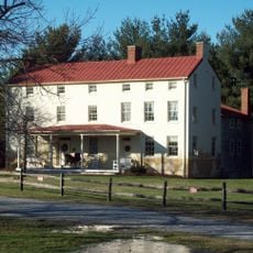
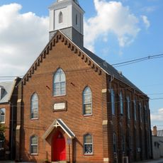
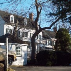
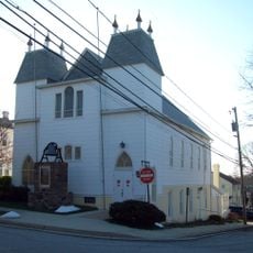
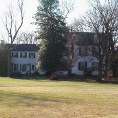
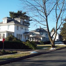
Curtis Bay is a residential neighborhood in South Baltimore with homes scattered along Curtis, Pennington, and Fairhaven Avenues. The area spans several city blocks with a mix of older housing types that define the neighborhood's physical character.

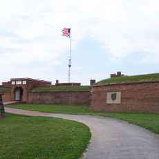
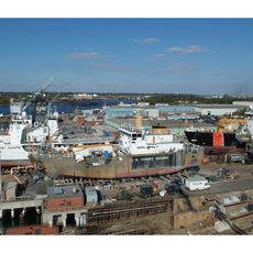
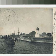
The United States Coast Guard established a facility in Curtis Bay starting in 1897 to serve maritime operations. This military presence shaped the neighborhood's development throughout the following decades.

Residents gather in community spaces to share meals and celebrations, reflecting the neighborhood's long-standing role as a place where different communities have built their lives together. Local institutions have served as anchors for neighborhood identity and social connection across generations.

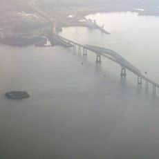
The neighborhood is accessible via streets that run through the area, making it easy to navigate on foot or by car. Visitors should be aware that industrial activities in parts of the neighborhood can affect air quality and conditions at certain times.

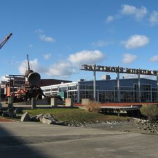
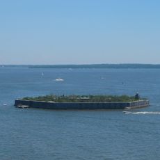
A large coal terminal in the area releases coal dust into the air regularly, making it a visible and daily aspect of life here. This industrial activity is woven into the everyday reality of the neighborhood.

The community of curious travelers

AroundUs brings together thousands of curated places, local tips, and hidden gems, enriched daily by 60,000 contributors worldwide.

Start exploring
Location
GPS coordinates
39.22522,-76.59003
Latest update
December 8, 2025 13:44
Around this place
Fort McHenry
United States of America

Fort McHenry

4.3 km
NS Savannah
United States of America

NS Savannah

4.8 km
Francis Scott Key Bridge
United States of America

Francis Scott Key Bridge

5.4 km
SS John W. Brown
United States of America

SS John W. Brown

5 km
Fort Carroll
United States of America

Fort Carroll

6.2 km
American Visionary Art Museum
United States of America

American Visionary Art Museum

6.3 km
United States Coast Guard Yard
United States of America

United States Coast Guard Yard

3.5 km
Baltimore Museum of Industry
United States of America

Baltimore Museum of Industry

5.5 km
Legg Mason Tower
United States of America

Legg Mason Tower

6.5 km
Hanover Street Bridge
United States of America

Hanover Street Bridge

4.3 km
Silo Point
United States of America

Silo Point

5.2 km
Baltimore
United States of America

Baltimore

5.5 km
HarborView Condominium
United States of America

HarborView Condominium

5.9 km
Orpheus with the Awkward Foot
United States of America

Orpheus with the Awkward Foot

4.4 km
Fort Carroll Light
United States of America

Fort Carroll Light

6.2 km
Benson-Hammond House
United States of America

Benson-Hammond House

6.8 km
Lazaretto Point Light
United States of America

Lazaretto Point Light

4.4 km
Southern District Police Station
United States of America

Southern District Police Station

5.9 km
Christ United Church of Christ
United States of America

Christ United Church of Christ

5.3 km
Turkey Hill
United States of America

Turkey Hill

6 km
Lansdowne Christian Church
United States of America

Lansdowne Christian Church

6.7 km
Riverside Historic District
United States of America

Riverside Historic District

5.3 km
Sunnyfields
United States of America

Sunnyfields

4.2 km
Fell's Point Historic District
United States of America

Fell's Point Historic District

6.4 km
Linthicum Heights Historic District
United States of America

Linthicum Heights Historic District

6 km
Statue of John O'Donnell
United States of America

Statue of John O'Donnell

6.3 km
Cherry Hill Branch
United States of America

Cherry Hill Branch

4 km
Curtis Bay Water Tank
United States of America

Curtis Bay Water Tank

233 m
Show the full map
Reviews
Share your experience

No review yet

Discussions
Start a discussion...

No discussion yet

« Curtis Bay - Administrative division in South Baltimore, United States » is provided by Around Us (aroundus.com). Images and texts are derived from Wikimedia project under a Creative Commons license. You are allowed to copy, distribute, and modify copies of this page, under the conditions set by the license, as long as this note is clearly visible.

Discover hidden gems everywhere you go!

From secret cafés to breathtaking viewpoints, skip the crowded tourist spots and find places that match your style. Our app makes it easy with voice search, smart filtering, route optimization, and insider tips from travelers worldwide. Download now for the complete mobile experience.

Around Us App Screenshot

A unique approach to discovering new places

Le Figaro

All the places worth exploring

France Info

A tailor-made excursion in just a few clicks

20 Minutes

Around Us
Travel Guide & Maps
Download

Send to your phone

QR Code
1

Open the camera app on your mobile.

2

Point at the QR code with your camera. A notification will appear.

3

Tap the notification to open the link.