Enable Location

We need your location to show you interesting places around you

Discover nearby places

Find interesting locations and hidden gems around you

Precise directions

Get accurate directions and distances to places

Your location is never shared with other users. It's only used when you tap the location button.

Hochfeiler

Log in to your account

Start exploring — it's free

Trusted by 62,583 travelers worldwide

Continue with Google
Continue with Apple
or

We will send you a code to connect

By continuing, you accept our Terms and Conditions and our Privacy Policy

Check your inbox

We've sent a pincode in your inbox. Please enter the code below.

Hochfeiler

Hochfeiler, Summit in Zillertal Alps, Austria

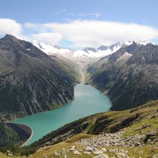
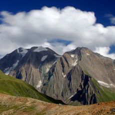
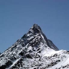
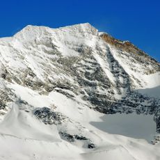
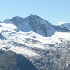
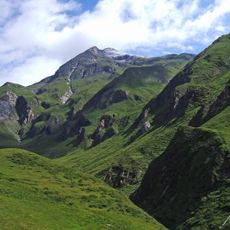
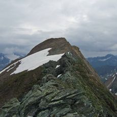
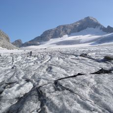
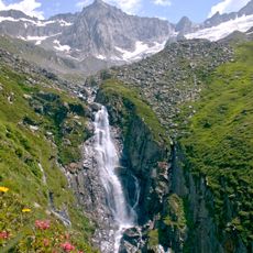
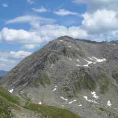
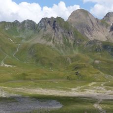
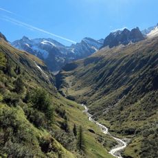
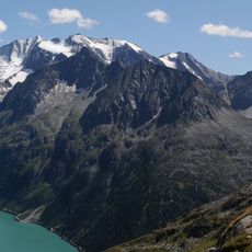
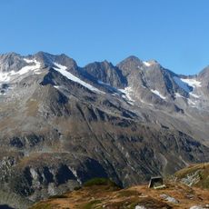
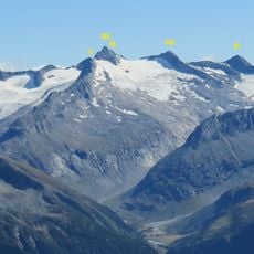
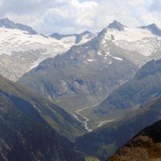
Hochfeiler is a summit in the Zillertal Alps between Austria and Italy, reaching 3,510 meters in elevation. The mountain forms a natural border between Tyrol to the north and South Tyrol to the south, and its slopes are marked by extensive glacial features.

The mountain was first climbed on July 24, 1865, when mountaineers Paul Grohmann, Georg Samer, and Peter Fuchs reached the summit. This early ascent established the peak as a known climbing destination in the Eastern Alps.

The mountain has two names: Hochfeiler in German-speaking areas and Gran Pilastro in Italian-speaking regions, showing the linguistic diversity of the border. Local people and climbers use both names depending on which side of the peak they approach from.

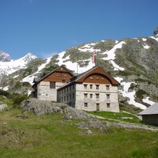
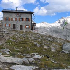
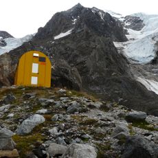
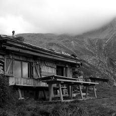
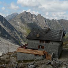
The Hochfeiler mountain hut at 2,710 meters (8,890 feet) provides shelter and basic services for climbers working toward the summit. Proper acclimatization and mountain equipment are essential, as the route is demanding and weather can change quickly at this elevation.

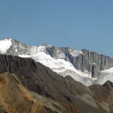
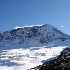
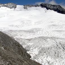
The Austrian side of the peak remains glacier-covered year-round, while the southern Italian approach becomes snow-free during summer months. This difference means climbers experience two very different routes depending on which direction they ascend.

The community of curious travelers

AroundUs brings together thousands of curated places, local tips, and hidden gems, enriched daily by 60,000 contributors worldwide.

Start exploring
GPS coordinates
46.97240,11.72759
Latest update
December 7, 2025 20:43
« Hochfeiler - Summit in Zillertal Alps, Austria » is provided by Around Us (aroundus.com). Images and texts are derived from Wikimedia project under a Creative Commons license. You are allowed to copy, distribute, and modify copies of this page, under the conditions set by the license, as long as this note is clearly visible.

Discover hidden gems everywhere you go!

From secret cafés to breathtaking viewpoints, skip the crowded tourist spots and find places that match your style. Our app makes it easy with voice search, smart filtering, route optimization, and insider tips from travelers worldwide. Download now for the complete mobile experience.

Around Us App Screenshot

A unique approach to discovering new places

Le Figaro

All the places worth exploring

France Info

A tailor-made excursion in just a few clicks

20 Minutes

Around Us
Travel Guide & Maps
Download

Send to your phone

QR Code
1

Open the camera app on your mobile.

2

Point at the QR code with your camera. A notification will appear.

3

Tap the notification to open the link.