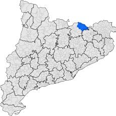
Camprodon, Municipal settlement in Ripollès, Spain.
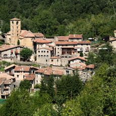
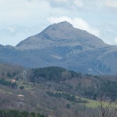
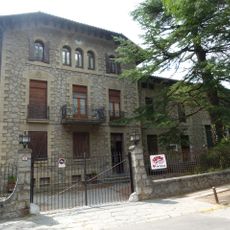
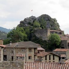
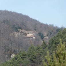
Camprodon is a mountain settlement in the Pyrenees positioned at roughly 947 meters elevation where the Ter and Ritort rivers meet near the French border. The town spreads across both riverbanks, with the geography shaping how the community is organized around these waterways.
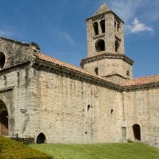
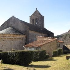
The settlement gained official status in 1118 when Ramon Berenguar III granted permission to establish a market near the Sant Pere monastery. This early authorization marked the moment when the community began to develop into an organized municipality.
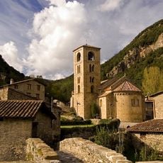
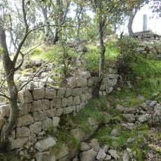
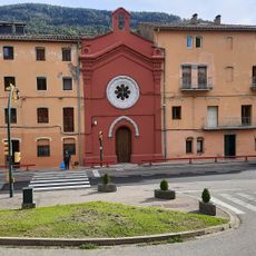
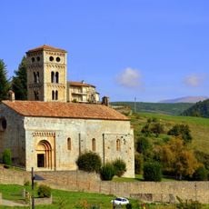
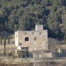
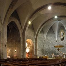
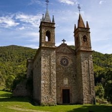
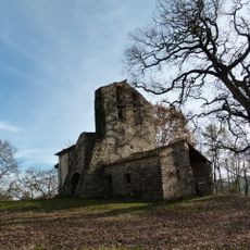
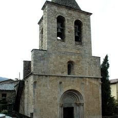
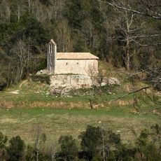
The Sant Pere monastery and the Santa Maria church stand as physical reminders of how faith shaped the community's development over centuries. Today, these sites reflect the spiritual traditions that continue to influence daily life in town.
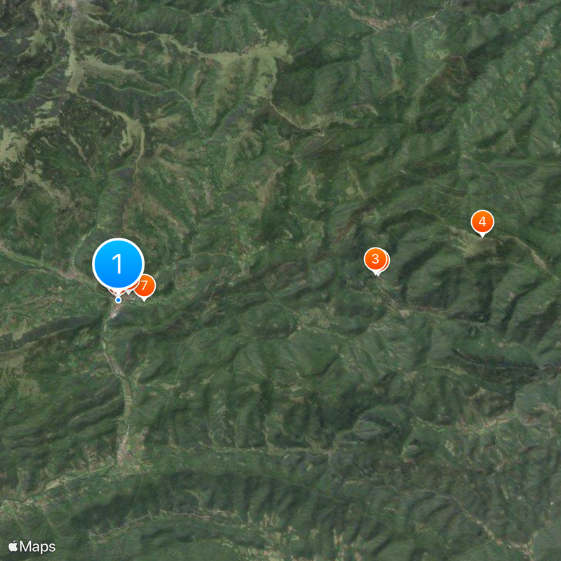
The C-38 road links the town to neighboring communities and provides access to mountain areas for outdoor activities throughout the year. Plan your visit considering that weather conditions in the higher elevations can change quickly and significantly.
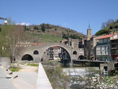
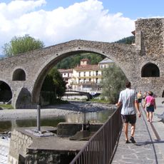
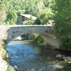
The medieval Pont Nou stone bridge spans the Ter River and serves as the central gathering point that has linked the two sides of town for centuries. Locals and visitors pass through this crossing as a natural hub connecting the community.
Location: Ripollès
Inception: 1118
Capital city: Camprodon
Elevation above the sea: 947 m
Shares border with: Montagut i Oix, La Vall de Bianya, Sant Pau de Segúries, Sant Joan de les Abadesses, Ogassa, Vilallonga de Ter, Llanars, Molló, Prats-de-Mollo-la-Preste, Lamanère
Website: https://camprodon.cat
GPS coordinates: 42.31180,2.36480
Latest update: December 13, 2025 23:00
Beget
9.6 km
Sant Cristòfol de Beget
9.5 km
Comanegra
13.6 km
Pont Nou de Camprodon
122 m
Passeig Maristany
535 m
Valle de Camprodón
962 m
Birba Biscuits
368 m
Sant Pere de Camprodon
472 m
Castell de Rocabruna
7.5 km
Cabrenç Towers
15.7 km
Castell de Bestracà
12.6 km
Colònia Estabanell
2 km
Can Roig (Camprodon)
656 m
Santa Cecília de Molló
5.3 km
Castell d'Oix
14.4 km
Església de Santa Maria de Camprodon
391 m
Castell de la Roca de Pelancà
2.9 km
Castell de Camprodon
146 m
Roures d'Ormoier
14 km
El Remei de Creixenturri
2.5 km
Sant Valentí de Salarça
7.1 km
Sant Esteve de Llanars
1.9 km
Sant Miquel d'Hortmoier
14.4 km
El Sitjar
4.1 km
Sant Feliu de Rocabruna
7.6 km
Ponts de Llanars
2.1 km
Castell de Creixenturri
1.8 km
Ermita del Remei (Camprodon)
9.5 kmVisited this place? Tap the stars to rate it and share your experience / photos with the community! Try now! You can cancel it anytime.
Discover hidden gems everywhere you go!
From secret cafés to breathtaking viewpoints, skip the crowded tourist spots and find places that match your style. Our app makes it easy with voice search, smart filtering, route optimization, and insider tips from travelers worldwide. Download now for the complete mobile experience.
A unique approach to discovering new places❞
— Le Figaro
All the places worth exploring❞
— France Info
A tailor-made excursion in just a few clicks❞
— 20 Minutes