Miajadas, human settlement in Cáceres Province, Extremadura, Spain
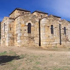
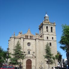
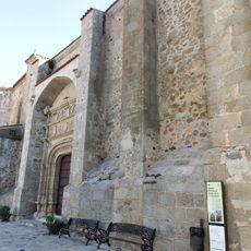
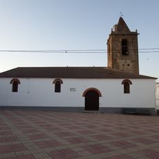
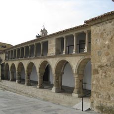
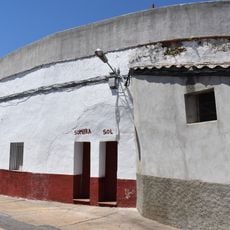
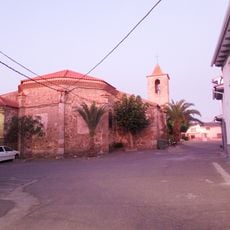
Miajadas is a small town in Cáceres Province in central Spain, known for its narrow streets and traditional stone houses with simple facades. The place is defined by the Church of Santiago Apóstol, a 16th to 17th century structure with gothic style, as well as local markets and squares where daily life unfolds.
The town developed during the Reconquista period and later bore influences from Moorish rule, reflected in the Arabic origin of its name. During the 16th and 17th centuries, Miajadas experienced growth evident in the construction of Santiago Apóstol Church and other religious buildings.
The name Miajadas likely derives from Arabic roots reflecting the region's Moorish past. Today the central plaza remains where locals gather, chat over coffee, and sustain the rhythms of community life.
Miajadas is best explored on foot or by bicycle, as narrow streets are not car-friendly and the town gains character on a pedestrian pace. The place offers simple lodging and dining options and sits conveniently between Cáceres and Mérida for exploring the wider region.
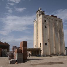
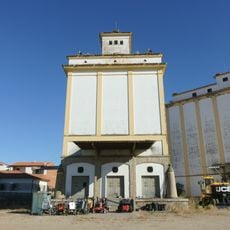
Miajadas is known nationwide as a tomato center, with farmers growing large quantities of this crop that defines local identity and economy. This agricultural specialization has earned the town its nickname as the 'tomato town' and sets it apart in the region.
The community of curious travelers
AroundUs brings together thousands of curated places, local tips, and hidden gems, enriched daily by 60,000 contributors worldwide.