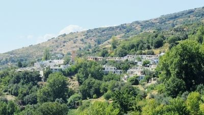
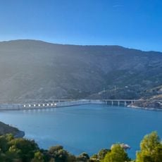
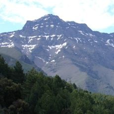
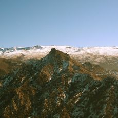
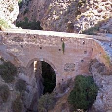
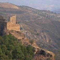
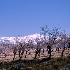
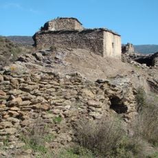
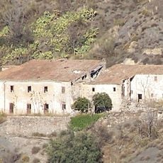
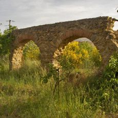
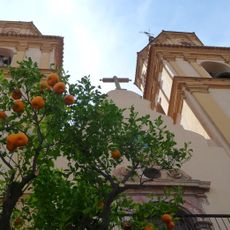
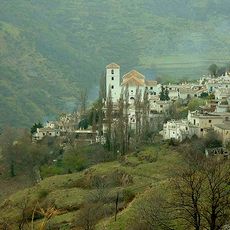
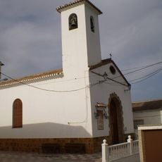
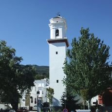
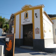
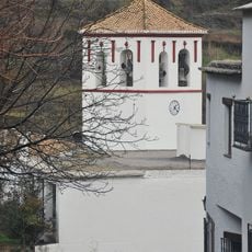
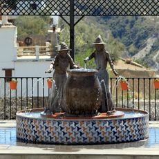
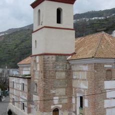
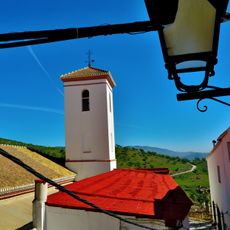
La Taha, municipality of Spain
Location: Province of Granada
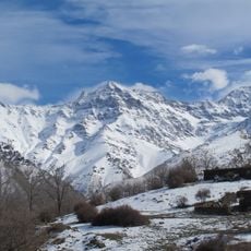
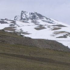
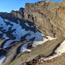
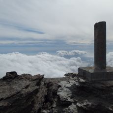
Elevation above the sea: 1,295 m
Website: http://www.lataha.es
Part of: districte notarial d'Órgiva, Mancomunitat de Municipis de la Alpujarra Granadina, Alpujarra Granadina
Shares border with: Almegíjar, Torvizcón, Órgiva, Carataunas, Pampaneira, Bubión, Capileira, Pórtugos, Busquístar
Website: http://lataha.es
GPS coordinates: 36.93611,-3.32556
Latest update: April 3, 2025 15:24
Mulhacén
13.1 km
Veleta
13.8 km
IRAM 30-meter telescope
15.6 km
Rules reservoir
16.1 km
Alcazaba
14.8 km
Sierra Nevada Observatory
15.2 km
Sierra Nevada Natural Park
15 km
Puente de Tablate
17.9 km
Castillo de Lanjarón
14.7 km
Pico del Caballo
13.2 km
Conjunto Enclave de La Mezquita
2.1 km
Corral del Veleta glacier
13.5 km
Conjunto Baños del Piojo
6.1 km
Conjunto Cortijo de los Arcos
8.9 km
Telar de Jarapas Hilacar
3.1 km
Castillo-Palacio de los Condes de Sástago
9.6 km
Iglesia de Nuestra Señora de la Expectación
9.6 km
Centro Histórico de Bubión
2.7 km
Centro Histórico de Capileira
4.2 km
Iglesia de Lújar
17.9 km
Iglesia Parroquial de San Roque
37 m
Ermita de San Sebastián, Lanjarón
13.3 km
Iglesia Parroquial de San Antonio
9 km
Mulhacén II
12.1 km
Fuente de las brujas de Soportújar
7.2 km
Ermita de la Virgen de Fátima
6.5 km
Iglesia Parroquial de la Santa Cruz
3.2 km
Iglesia Parroquial San Luis Rey de Francia
15.8 kmReviews
Visited this place? Tap the stars to rate it and share your experience / photos with the community! Try now! You can cancel it anytime.
Discover hidden gems everywhere you go!
From secret cafés to breathtaking viewpoints, skip the crowded tourist spots and find places that match your style. Our app makes it easy with voice search, smart filtering, route optimization, and insider tips from travelers worldwide. Download now for the complete mobile experience.
A unique approach to discovering new places❞
— Le Figaro
All the places worth exploring❞
— France Info
A tailor-made excursion in just a few clicks❞
— 20 Minutes