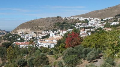
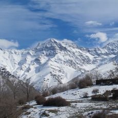
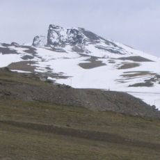
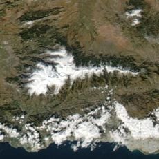
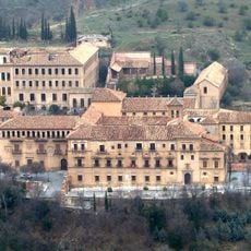
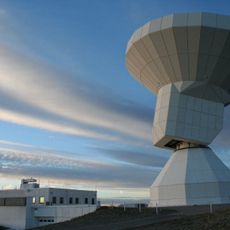
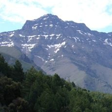
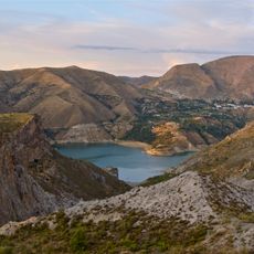
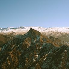
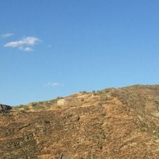
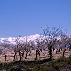
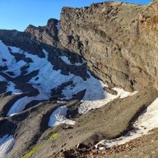
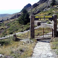
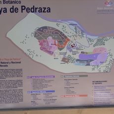
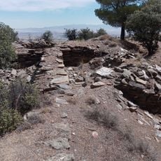
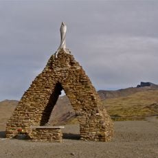
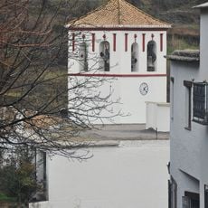
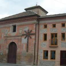
Güéjar Sierra, municipality of Spain
Location: Province of Granada
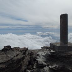
Elevation above the sea: 1,000 m
Part of: Granada notarial district, Vega de Granada
Shares border with: Pinos Genil, Dúdar, Quéntar, La Peza, Lugros, Jérez del Marquesado, Trevélez, Capileira, Dílar, Monachil
GPS coordinates: 37.16000,-3.43861
Latest update: March 13, 2025 14:15
Mulhacén
16.4 km
Veleta
13.3 km
Sierra Nevada National and Natural Park
23 km
Abadía del Sacromonte
12.6 km
IRAM 30-meter telescope
11.3 km
Alcazaba
15.9 km
Canales Reservoir
3.6 km
Sierra Nevada Observatory
11.7 km
Cementerio de San José
12.4 km
Sierra Nevada Natural Park
11.8 km
Quéntar Reservoir
5.3 km
Cerro de la Encina
10.1 km
Pico del Caballo
16.5 km
Alberca Rota y Pozos Altos
12.3 km
Acequia Gorda
11.4 km
Casa-molino de los Señores de Aragón
9.4 km
Corral del Veleta glacier
13.5 km
Jardín Botánico de Endemismos de Sierra Nevada
8.4 km
Hoya de Pedraza
5.4 km
Fortaleza de Alrután
23.6 km
Monument of Our Lady of the Snows
9.3 km
Iglesia Parroquial de San Antonio
23.5 km
Iglesia de Nuestra Señora de la Encarnación
9.5 km
Mulhacén II
17.1 km
Dehesa del Generalife
11.4 km
Convento-Seminario Nuestra Señora del Buen Consejo de los Padres Agustinos Recoletos
11.4 km
Iglesia Parroquial de Nuestra Señora del Rosario
81 m
Veleta
13.3 kmReviews
Visited this place? Tap the stars to rate it and share your experience / photos with the community! Try now! You can cancel it anytime.
Discover hidden gems everywhere you go!
From secret cafés to breathtaking viewpoints, skip the crowded tourist spots and find places that match your style. Our app makes it easy with voice search, smart filtering, route optimization, and insider tips from travelers worldwide. Download now for the complete mobile experience.
A unique approach to discovering new places❞
— Le Figaro
All the places worth exploring❞
— France Info
A tailor-made excursion in just a few clicks❞
— 20 Minutes