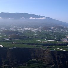
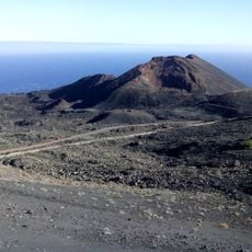
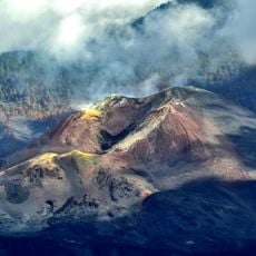
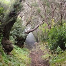
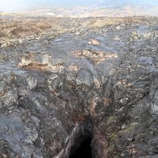
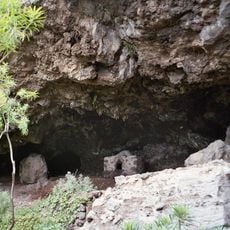
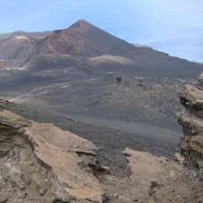
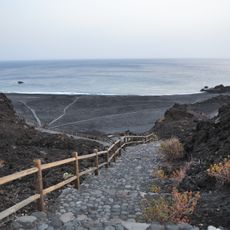
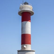
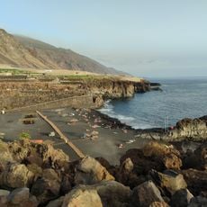
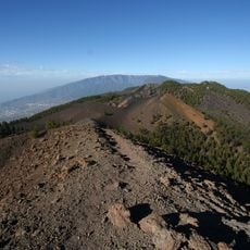
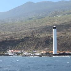
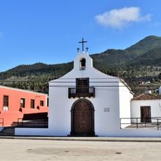
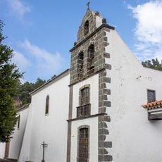
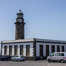
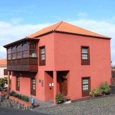
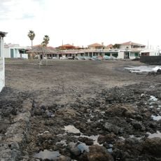
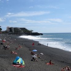
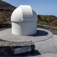
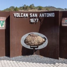
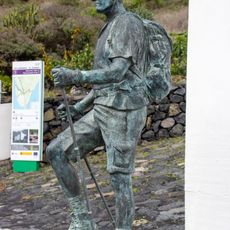
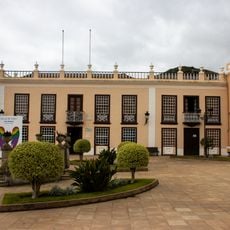
Fuencaliente de La Palma, municipality of Spain
Location: Santa Cruz de Tenerife Province
Elevation above the sea: 722 m
Shares border with: Los Llanos de Aridane, El Paso, Villa de Mazo
GPS coordinates: 28.50659,-17.84162
Latest update: March 3, 2025 03:06
Cumbre Vieja
6.7 km
Teneguía
4 km
Tajogaite volcano
12.1 km
Cumbre Vieja Natural Park
7.6 km
San Antonio
2.7 km
Cueva de Las Palomas
11.7 km
Belmaco Archeological Park
10.2 km
Category:La Palma (DO)
1.6 km
Monumento Natural de los Volcanes de Teneguía
5.9 km
Playa de Echentive
5.4 km
Fuencaliente Lighthouse
5.7 km
Playa Verde
9.2 km
Volcán de la Deseada
7 km
Arenas Blancas Lighthouse
10.6 km
Iglesia de San Nicolás de Bari (Las Manchas)
11.3 km
Church of San Antonio Abad, Fuencaliente
1.3 km
Bodegas Teneguia
1.6 km
Fuencaliente Lighthouse
5.7 km
Casa Museo del Vino Las Manchas
10.9 km
Playa Arenas Blancas
10.5 km
Puerto Naos beach
11 km
Memorial "To the Jesuits"
5.7 km
Bust of Francisco García-Escámez
1.6 km
Solar Telescope of the South
2.4 km
San Antonio Volcano Visitor Centre
2.3 km
The Walker
1.3 km
Villa de Mazo Public Library
12.6 km
San Antonio
2.8 kmReviews
Visited this place? Tap the stars to rate it and share your experience / photos with the community! Try now! You can cancel it anytime.
Discover hidden gems everywhere you go!
From secret cafés to breathtaking viewpoints, skip the crowded tourist spots and find places that match your style. Our app makes it easy with voice search, smart filtering, route optimization, and insider tips from travelers worldwide. Download now for the complete mobile experience.
A unique approach to discovering new places❞
— Le Figaro
All the places worth exploring❞
— France Info
A tailor-made excursion in just a few clicks❞
— 20 Minutes