Sagunt

Log in to your account

AroundUs is a community-driven map of interesting places, built by curious explorers like you. It grows with every review, story, and photo you share.
Connect to save your favorite spots, contribute locations, and create personalized routes.
By continuing, you accept our Terms and Conditions and our Privacy Policy
Add to collection
Map
Suggest a change
Share

Sagunt, Mediterranean municipality in Camp de Morvedre, Spain

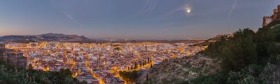
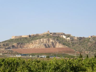
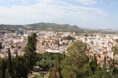
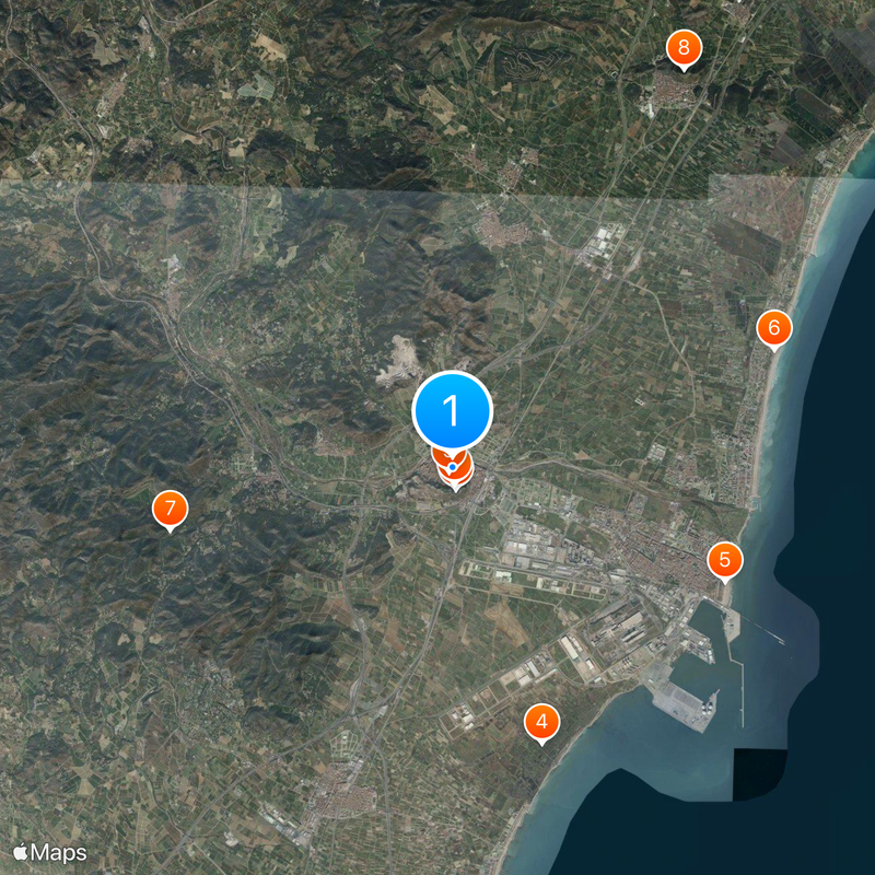
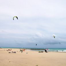
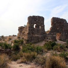
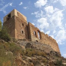
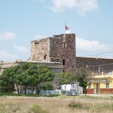
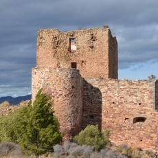
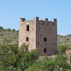
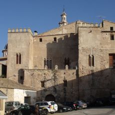
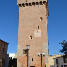
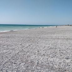
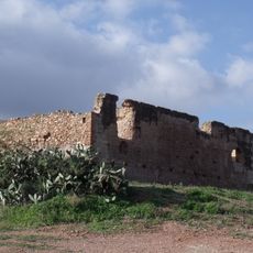
Sagunt is a coastal town in the province of Valencia, around 30 kilometers north of the capital, between the sea and the hills of Calderona and Espadán. The old town sits at the foot of a hill, on top of which a large fortress complex overlooks the modern neighborhoods and the plain stretching to the Mediterranean.

The Roman settlement of Saguntum came into the center of the conflict between Hannibal and Rome in 219 BC, when the Carthaginian general besieged the town and triggered the Second Punic War. After the Roman victory, the town remained an important base in Hispania and developed into one of the most important centers of the region.

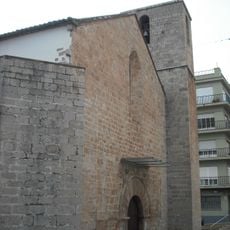
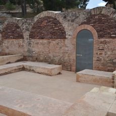
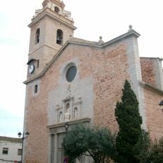
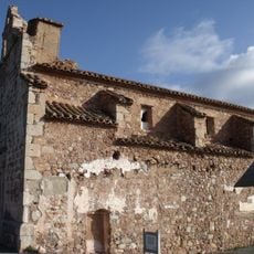
The name Sagunt comes from the Latin Saguntum, and the old town still shows traces of the different communities that lived here over many centuries. The Jewish quarter with its narrow lanes and stone arches is a particularly clear part of this past, through which visitors can still walk today.

The climb to the castle and theater involves steep paths and stairs, so comfortable shoes and steady footing are needed. Visiting the old town and the ancient sites is possible during the day, though midday in summer can become very hot.

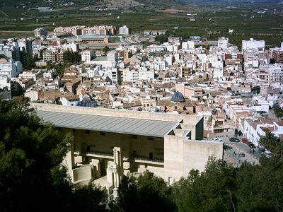
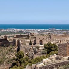
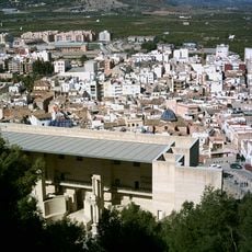
The Roman theater was declared a National Monument in the late 19th century as the first structure in Spain to receive this status, long before other ancient sites received this level of protection. The stage and stone seating rows lie directly on the hillside below the castle, so spectators then and now had a wide view over the plain.

Location: Province of Valencia

Location: Camp de Morvedre

Capital city: Sagunto (city)

Elevation above the sea: 49 m

Part of: Red de Juderías de España

Shares border with: Albalat dels Tarongers, Alfara de la Baronia, Algar de Palància, Algímia d'Alfara, Almenara, Benavites, Benifairó de les Valls, Canet d'en Berenguer, Estivella, Faura, Alfondeguilla, Gilet, Nàquera, Petrés, El Puig de Santa Maria, Puçol, Quart de les Valls, Quartell, Soneja, Torres Torres, La Vall d'Uixó

Address: 46500 Sagunto, Valencia, Spain

Website: https://sagunt.es

GPS coordinates: 39.68000,-0.27833

Latest update: December 4, 2025 23:04

Photos
Reviews

Visited this place? Tap the stars to rate it and share your experience / photos with the community! Try now! You can cancel it anytime.

« Sagunt - Mediterranean municipality in Camp de Morvedre, Spain » is provided by Around Us (aroundus.com). Images and texts are derived from Wikimedia project under a Creative Commons license. You are allowed to copy, distribute, and modify copies of this page, under the conditions set by the license, as long as this note is clearly visible.

Discover hidden gems everywhere you go!

From secret cafés to breathtaking viewpoints, skip the crowded tourist spots and find places that match your style. Our app makes it easy with voice search, smart filtering, route optimization, and insider tips from travelers worldwide. Download now for the complete mobile experience.

Around Us App Screenshot

A unique approach to discovering new places

Le Figaro

All the places worth exploring

France Info

A tailor-made excursion in just a few clicks

20 Minutes