Riópar, municipality of Spain
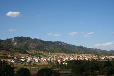
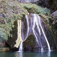
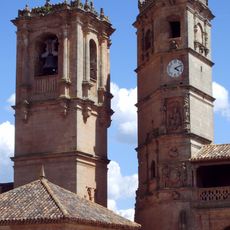
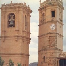
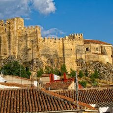
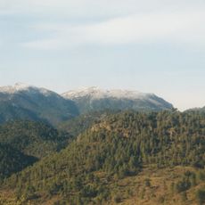
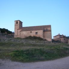
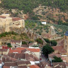
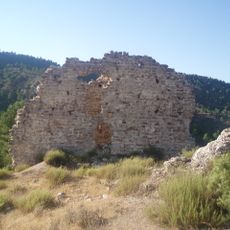
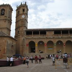
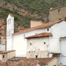
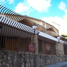
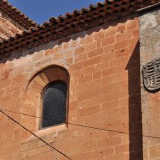
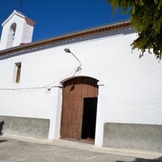
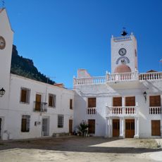
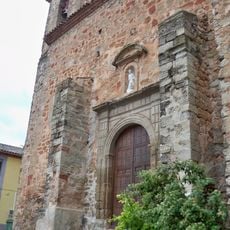
Riópar is a small municipality in Albacete Province in southeastern Spain. The town sits in a hilly landscape with traditional houses built along the natural terrain.
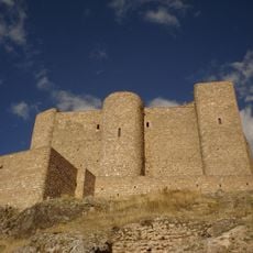
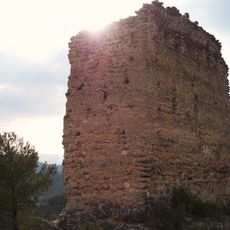
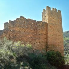
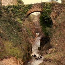
The municipality developed like many rural settlements in the region from natural settlement along water sources and fertile land. The place has evolved over centuries as an agricultural community.
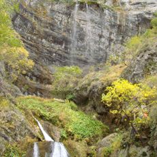
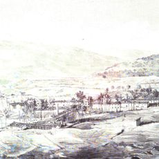
As a small rural municipality, the place offers basic visitor facilities and is easy to explore on foot. The best time to visit is during the warmer months when the pathways and surrounding areas are easily accessible.
The community of curious travelers
AroundUs brings together thousands of curated places, local tips, and hidden gems, enriched daily by 60,000 contributors worldwide.