Águilas, Administrative division in Murcia, Spain
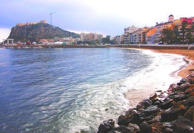
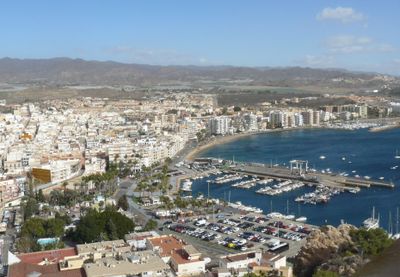
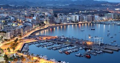
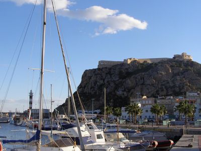
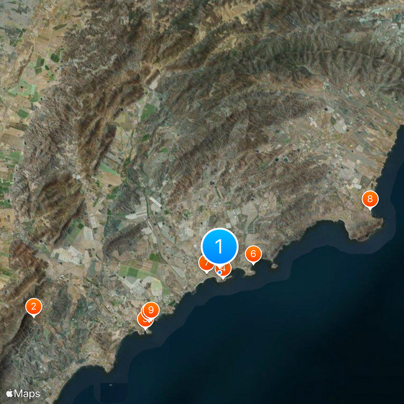
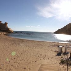
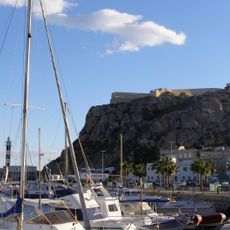
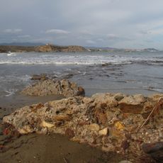
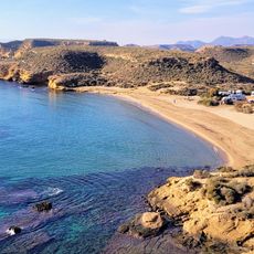
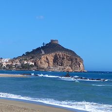
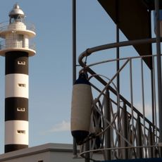
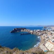
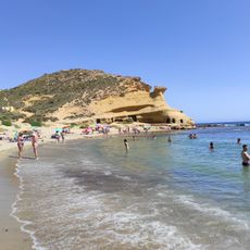
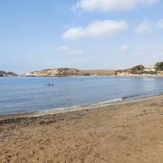
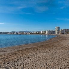
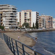
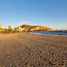
Águilas is a port town on Murcia's Mediterranean coast characterized by its indented shoreline with multiple beaches, rocky coves, and two natural bays. The town's layout reflects its maritime function, with the port areas serving as the focal point for fishing and commercial activities.
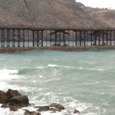
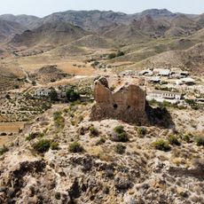
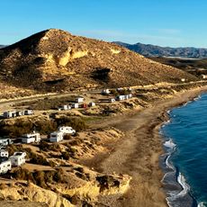
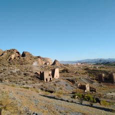
The settlement began as a Roman fishing community and transformed significantly in the 1800s when mining operations became the economic driver, prompting infrastructure development like the Hornillo jetty. This shift from simple maritime activities to industrial extraction reshaped the town's importance in the region.
The town's character today is shaped by its fishing traditions, where boats still anchor and nets are repaired along the waterfront, reminding residents and visitors of ancestral practices. This maritime way of life remains visible in the architecture and daily rhythms of the community.
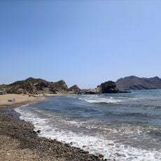
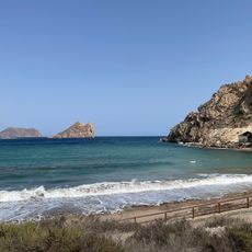
The town center contains essential services including the City Hall, shops, and accommodations within walking distance of each other. Direct beach access from the town makes swimming and coastal exploration straightforward without requiring transport.
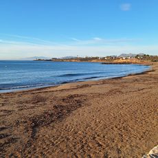
The local climate is classified as hot desert, a rarity in Europe that very few places share, with minimal precipitation especially during winter months. This extreme dryness shapes the landscape distinctly, creating sparse vegetation and a different feel compared to typical Mediterranean coasts.
The community of curious travelers
AroundUs brings together thousands of curated places, local tips, and hidden gems, enriched daily by 60,000 contributors worldwide.