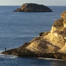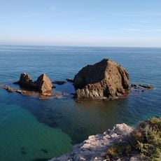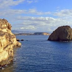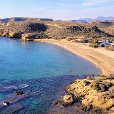
Cala de los Cocedores, Cove beach between Pulpí and Águilas, Spain
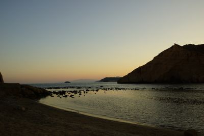
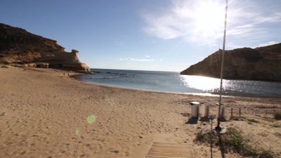
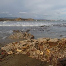
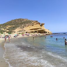
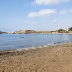
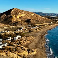
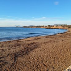
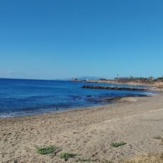
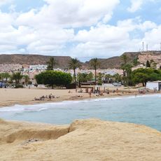
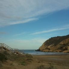
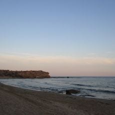
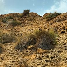
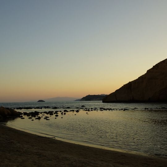
Cala de los Cocedores is a roughly 150-metre crescent of dark sand between Pulpí (Almería) and Águilas (Murcia), with shallow water and scattered rounded rocks along the shoreline. Behind it rise eroded sandstone cliffs with caves that were once lived in. The Murcian section forms part of the protected Cuatro Calas landscape.
The cove received its name from esparto grass cooking facilities that locals operated in the early 20th century. Workers used the natural caves to process plant fibers, giving the place economic importance during that time.
The name comes from a 20th-century esparto grass cooking facility on the shore, where workers lived in caves in the sandstone cliffs. The cove lies between Pulpí (Almería) and Águilas (Murcia), and the Murcian side forms part of the protected Cuatro Calas landscape. Both municipalities dispute its administration; in April 2019 Pulpí published a technical report by geographer Andrés García Lorca concluding it belongs to Almería, pending a ruling by the Instituto Geográfico Nacional.
The beach is accessible via National Road A-332 from Pulpí or Águilas, with parking spots located nearby. The calm and shallow waters make it a safe choice for family visits throughout the year.
The cove's name comes from a natural esparto-grass cooking facility that stood here in the 20th century; the caves in the sandstone cliffs were once lived in by the workers who boiled the fibre. The beach is only about 150 metres long, and its calm, shallow natural pools suit children who cannot swim.
The community of curious travelers
AroundUs brings together thousands of curated places, local tips, and hidden gems, enriched daily by 93,821 contributors worldwide.