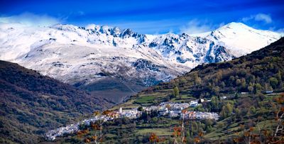
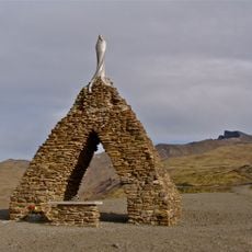
Capileira, municipality of Spain
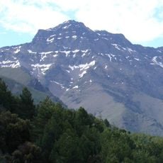
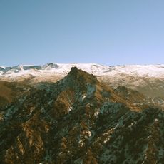
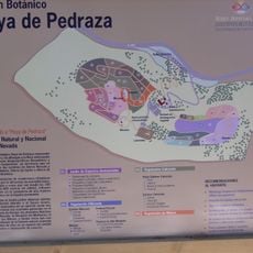
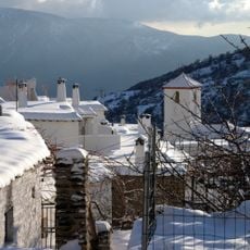
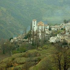
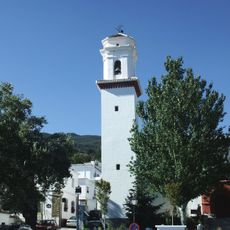
Capileira is a small municipality in the Province of Granada that is built into the uneven terrain of the Poqueira Ravine at over 1400 meters elevation. Houses with two floors and flat roofs adapt to the landscape, while narrow cobbled streets wind through the village between cubic stone buildings with small windows and thick walls.
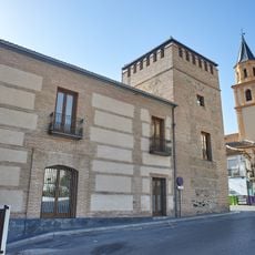
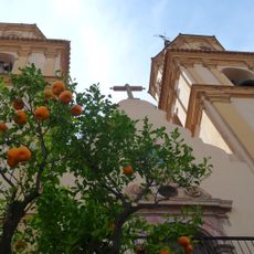
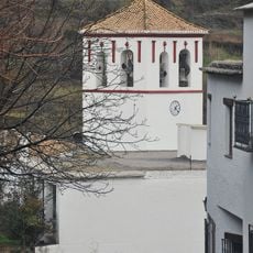
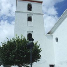
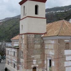
Capileira takes its name from Roman times and was later part of the Nasrid kingdom region called La Taha de Poqueira. In the early 1500s, Catholic rulers ordered a church built on the site of an old mosque, which was later modified in the 1700s to its current style that mixes older and newer architectural features.
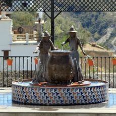
Capileira shows traditional Alpujarra culture through its simple cubic houses with flat roofs and narrow winding streets that reflect local building customs. The handcrafted details like chimneys and balconies on the homes reveal how residents have adapted their living spaces to the mountain terrain and continue to maintain these practices today.
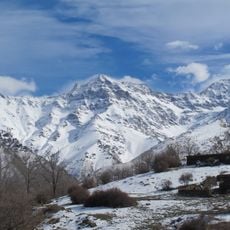
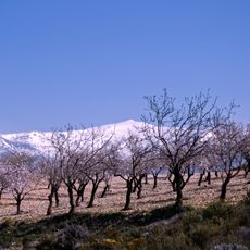
Wear proper shoes and bring supplies if you plan to hike into the mountains, and check weather conditions before visiting, especially in winter when snow can block mountain roads. Parking is available at the village entrance and on the northern side at no charge, though spaces fill quickly during busy times.
The Pedro Antonio de Alarcón Ethnological Museum displays local crafts and daily life objects, inspired by a 19th century writer who documented the region in his book Journey to the Alpujarras. Inside, visitors see old farming equipment and clothing that reveal how people once worked and lived in this mountain setting.
The community of curious travelers
AroundUs brings together thousands of curated places, local tips, and hidden gems, enriched daily by 60,000 contributors worldwide.