Enable Location

We need your location to show you interesting places around you

Discover nearby places

Find interesting locations and hidden gems around you

Precise directions

Get accurate directions and distances to places

Your location is never shared with other users. It's only used when you tap the location button.

Aranjuez

Log in to your account

Join the adventure

Create your free account and start exploring (like 60k+ others)

We will send you a code to connect

or
Continue with Google
Continue with Apple
By continuing, you accept our Terms and Conditions and our Privacy Policy

Check your inbox

We've sent a pincode in your inbox. Please enter the code below.

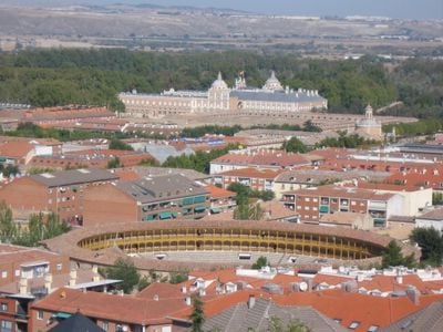
Aranjuez, Royal municipality in Community of Madrid, Spain

Description

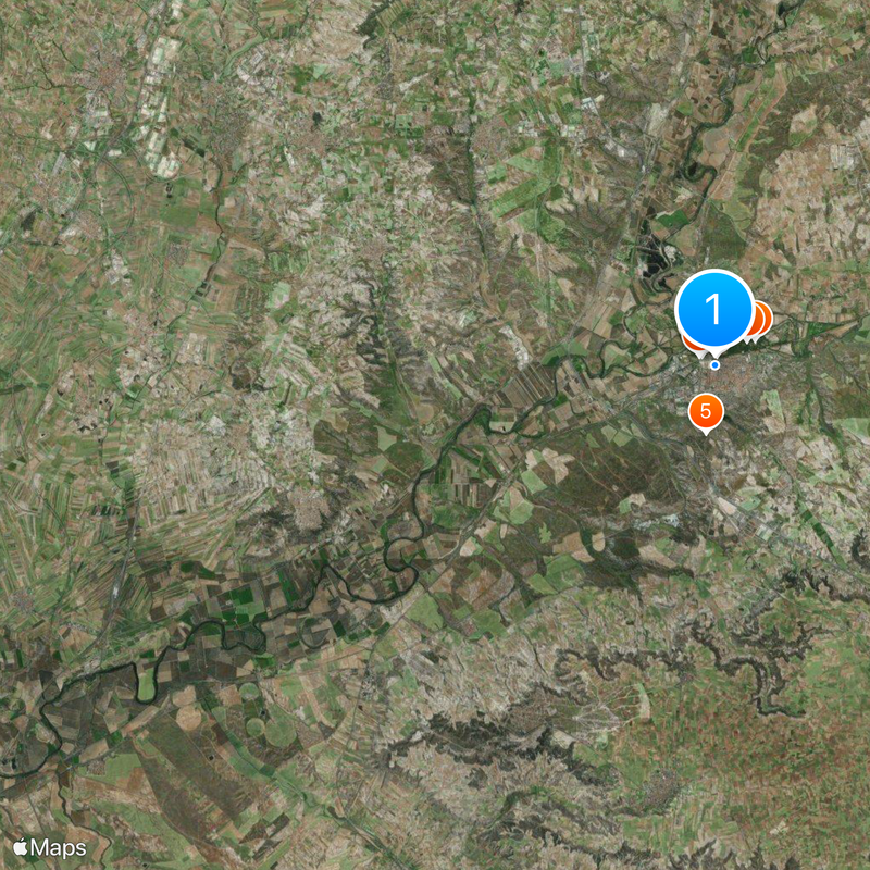
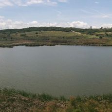
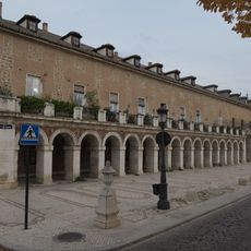
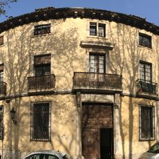
Aranjuez is a town at the meeting point of the Tagus and Jarama rivers in the Community of Madrid, about 31 miles (50 kilometers) south of the capital. The royal complex with its extensive garden areas forms the town center, while residential neighborhoods spread around this historic core.

History

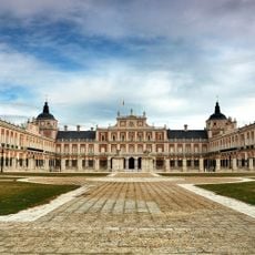
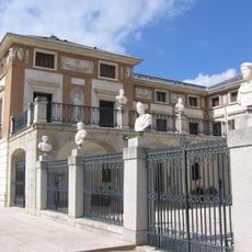
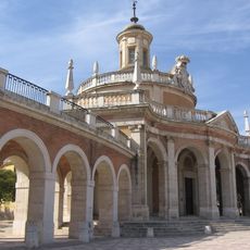
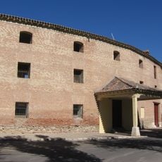
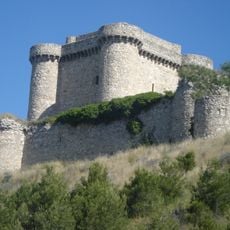
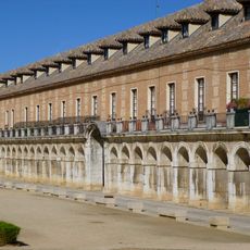
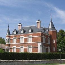
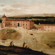
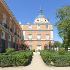
The Catholic Monarchs established a royal residence here in the late 15th century, later expanded under the Habsburgs. In the 18th century, King Philip V commissioned a new palace following French design, which shapes the current complex.

Culture

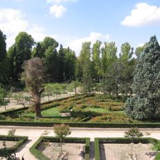
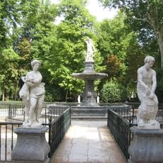
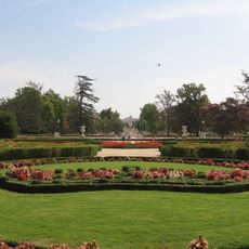
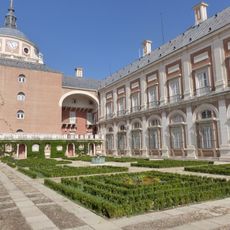
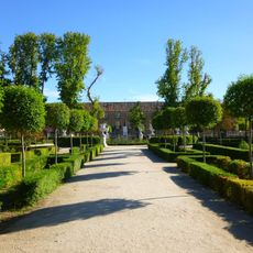
The palace grounds feature gardens with mythological sculptures and fountains, while the surrounding streets show the symmetrical layout designed during King Ferdinand VI's reign. Visitors often notice the mulberry trees lining the avenues, originally planted for silkworm cultivation.

Practical

The town sits about an hour south of Madrid with regular train connections from Atocha station. Visitors can explore the historic center on foot, as most points of interest lie close together.

Did you know?

The royal gardens hold one of the largest collections of old trees in Europe, including specimens from the 18th century brought from overseas. Part of the original Renaissance irrigation system still functions today.

Capital city
Aranjuez
Elevation above the sea
494 m
Shares border with
Seseña, Ciempozuelos, Titulcia, Chinchón, Colmenar de Oreja, Ocaña, Ontígola, Ciruelos, Yepes, Almonacid de Toledo, Toledo, Mocejón, Villaseca de la Sagra, Añover de Tajo, Borox
GPS coordinates
40.03333,-3.60278
Latest update
December 15, 2025 15:24

AroundUs brings together thousands of curated places, local tips, and hidden gems, enriched daily by 60,000 contributors worldwide. Discover all places nearby (Community of Madrid).

« Aranjuez - Royal municipality in Community of Madrid, Spain » is provided by Around Us (aroundus.com). Images and texts are derived from Wikimedia project under a Creative Commons license. You are allowed to copy, distribute, and modify copies of this page, under the conditions set by the license, as long as this note is clearly visible.

Discover hidden gems everywhere you go!

From secret cafés to breathtaking viewpoints, skip the crowded tourist spots and find places that match your style. Our app makes it easy with voice search, smart filtering, route optimization, and insider tips from travelers worldwide. Download now for the complete mobile experience.

Around Us App Screenshot

A unique approach to discovering new places

Le Figaro

All the places worth exploring

France Info

A tailor-made excursion in just a few clicks

20 Minutes

Around Us
Travel Guide & Maps
Download

Send to your phone

QR Code
1

Open the camera app on your mobile.

2

Point at the QR code with your camera. A notification will appear.

3

Tap the notification to open the link.