Albarracín

Log in to your account

AroundUs is a community-driven map of interesting places, built by curious explorers like you. It grows with every review, story, and photo you share.
Connect to save your favorite spots, contribute locations, and create personalized routes.
By continuing, you accept our Terms and Conditions and our Privacy Policy
Add to collection
Map
Suggest a change
Share

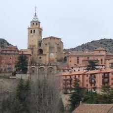
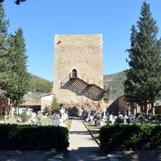
Albarracín, Medieval municipality in Teruel Province, Spain.

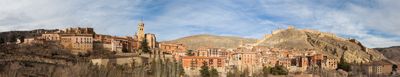
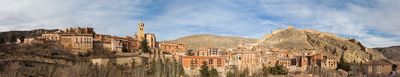
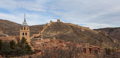
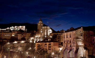
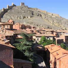
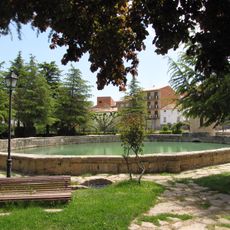
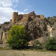
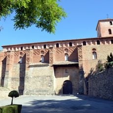
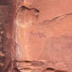
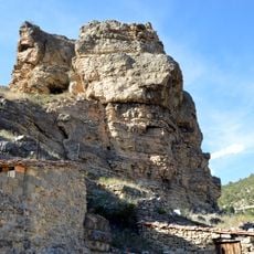
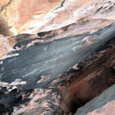
Albarracín is a municipality in Teruel Province, set at 1,182 meters (3,878 feet) elevation within the Sierra de Albarracín mountain range. Red sandstone cliffs surround the town while the Guadalaviar River winds around the old quarter in a wide arc.

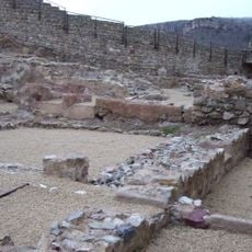
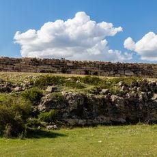
The Berber dynasty of Banu Razin established the settlement in the eleventh century and made it their capital. After the Almoravids captured it in 1104, it later passed to the Christian kingdoms of the Iberian Peninsula.

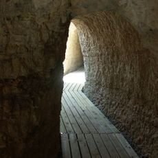
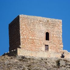
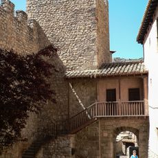
The place takes its name from the Muslim family Banu Razin who founded it in the eleventh century. Visitors today walk through narrow lanes lined with medieval houses built from reddish-brown sandstone, their balconies overhanging the cobbled paths below.

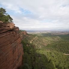
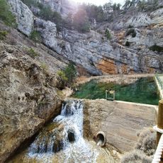
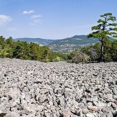
The higher part of the old town requires some stamina for the steep lanes and steps, so comfortable footwear is recommended. Those interested in climbing will find numerous routes on the sandstone rocks around the municipality.

The municipal area covers 452 square kilometers (174 square miles), making it one of the larger municipalities in the region. It also serves as the head of the comarca that shares its name within Teruel Province.

Location: Teruel Province

Capital city: Albarracín city

Elevation above the sea: 1,182 m

Part of: The Most Beautiful Villages of Spain, Comunitat d'Albarrasí

Shares border with: Alobras, Bezas, Cella, Frías de Albarracín, Gea de Albarracín, Griegos, Guadalaviar, Moscardón, Noguera de Albarracín, Pozondón, Royuela, Salvacañete, Santa Eulalia del Campo, Terriente, Teruel, Tormón, Torres de Albarracín, Tramacastiel, Valdecuenca, El Vallecillo, Villar del Cobo, Rubiales, Jabaloyas, Zafrilla, Cuenca, Checa, Orea, Orihuela del Tremedal, Bronchales, Ródenas, Toril y Masegoso, Calomarde, Tramacastilla, Monterde de Albarracín, Saldón

Address: 44126 Albarracín, Teruel, Spain

Website: http://albarracin.es

GPS coordinates: 40.40728,-1.44428

Latest update: December 4, 2025 23:02

Reviews

Visited this place? Tap the stars to rate it and share your experience / photos with the community! Try now! You can cancel it anytime.

« Albarracín - Medieval municipality in Teruel Province, Spain » is provided by Around Us (aroundus.com). Images and texts are derived from Wikimedia project under a Creative Commons license. You are allowed to copy, distribute, and modify copies of this page, under the conditions set by the license, as long as this note is clearly visible.

Discover hidden gems everywhere you go!

From secret cafés to breathtaking viewpoints, skip the crowded tourist spots and find places that match your style. Our app makes it easy with voice search, smart filtering, route optimization, and insider tips from travelers worldwide. Download now for the complete mobile experience.

Around Us App Screenshot

A unique approach to discovering new places

Le Figaro

All the places worth exploring

France Info

A tailor-made excursion in just a few clicks

20 Minutes