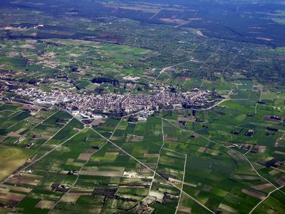
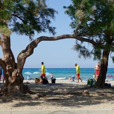
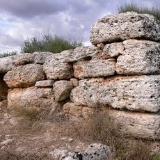
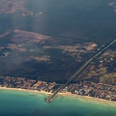
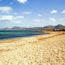
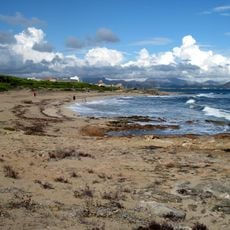
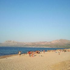
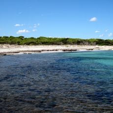
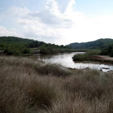
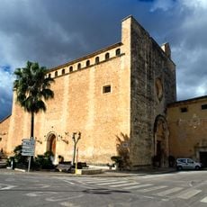
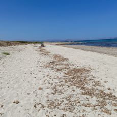
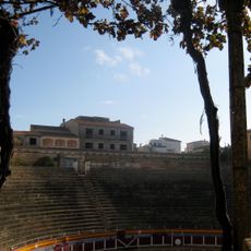
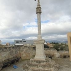
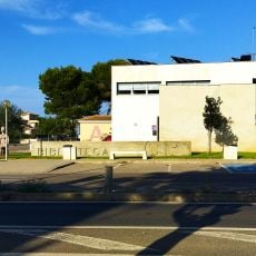
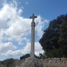
Santa Margalida, municipality of Spain
Location: Mallorca
Location: Pla de Mallorca
Capital city: Santa Margalida
Elevation above the sea: 100 m
Part of: Commonwealth North of Mallorca
Shares border with: Muro, Majorca, Maria de la Salut, Ariany, Petra, Majorca, Artà
Website: http://ajsantamargalida.net
GPS coordinates: 39.70333,3.10361
Latest update: April 1, 2025 06:06
Necròpolis de Son Real
8.9 km
Sa Canova
12.2 km
Platja de s'Estanyol
13.6 km
Platja de Son Serra de Marina
11.7 km
Talaiot de sa Cova de sa Nineta
9.3 km
Platja de Muro
10.7 km
Platja de Son Real
10.2 km
Na Patana
8.6 km
Platja de s'Home Mort
11 km
L'Arenal d'en Casat
9.4 km
Torrent de na Borges
11.8 km
Es Figueral de Son Real
7.8 km
Dolmen de Son Bauló de Dalt
7.3 km
Dolmen de Son Real
8.9 km
Son Bauló beach
8.5 km
Sa Botigueta
11.1 km
Ses Cases de Son Serra
5.6 km
Ses Pedreres / Vinromà
7 km
Platja de Santa Margalida
8.4 km
Església i Convent de Santa Anna
5.5 km
Plaża Arenal d’en Casat
9.4 km
Plaza de toros de Muro
5 km
Creu de Marjal
5.9 km
Cova de sa Nineta
9.3 km
Santa Margalida Municipal Public Library - Can Picafort
8.3 km
Cruz de S'estaciò
5.8 km
Cala Serralot
10 km
Muro
8.9 kmReviews
Visited this place? Tap the stars to rate it and share your experience / photos with the community! Try now! You can cancel it anytime.
Discover hidden gems everywhere you go!
From secret cafés to breathtaking viewpoints, skip the crowded tourist spots and find places that match your style. Our app makes it easy with voice search, smart filtering, route optimization, and insider tips from travelers worldwide. Download now for the complete mobile experience.
A unique approach to discovering new places❞
— Le Figaro
All the places worth exploring❞
— France Info
A tailor-made excursion in just a few clicks❞
— 20 Minutes