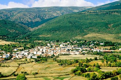
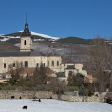
Rascafría, Mountain municipality in Sierra de Guadarrama, Spain
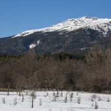
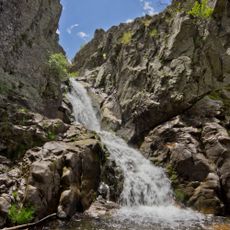
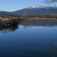
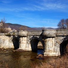
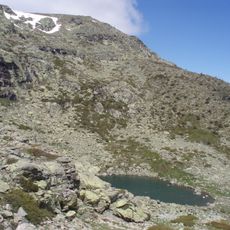
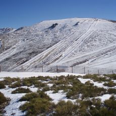
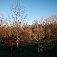
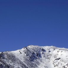
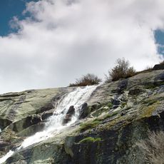
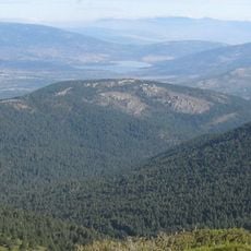
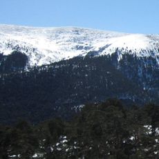
Rascafría is a mountain municipality in the Alto del Lozoya Valley within the Sierra de Guadarrama range, where forested slopes and scattered rural settlements spread across the terrain. The town sits at high elevation surrounded by pine forests, with traditional stone buildings nestled into the hillside landscape.
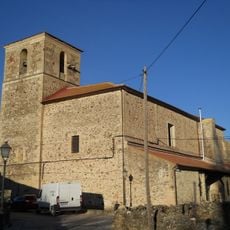
The area took shape during the medieval period with the foundation of the Monastery of Santa Maria de El Paular in the 14th century, which became a major center of religious life and learning. Over centuries, the surrounding settlement developed as a rural community centered around this religious institution and the natural mountain resources.
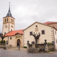
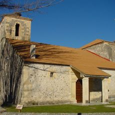
The San Andrés Apóstol church sits at the town center with its 15th-century stone walls and intricate vaults that reflect how medieval builders shaped religious spaces in this mountain valley. Locals and visitors pass through its wooden doors to see crafted wooden ceilings and religious art that show the community's long connection to the Catholic tradition.
Getting there is straightforward with bus services that connect the village to Madrid on a regular basis. Visitors should bring warm clothing since temperatures at this elevation are noticeably cooler than in the city below.
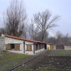
La Casona served as one of the first hospital buildings in the region and reveals through its two-story layout and attached gardens how early medical care was organized in remote mountain areas. The structure preserves details from the 15th century that show how health services functioned at the local community level.
The community of curious travelers
AroundUs brings together thousands of curated places, local tips, and hidden gems, enriched daily by 60,000 contributors worldwide.