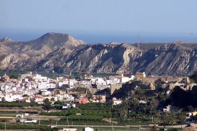
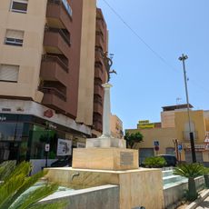
Cuevas del Almanzora, Municipality in Levante Almeriense, Almería Province, Spain
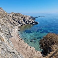
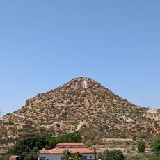
Cuevas del Almanzora is a municipality in northeastern Almería that spans semi-arid terrain shaped by natural caves in surrounding hills. The land combines dry landscapes with fertile plains where water is available, creating varied environments.
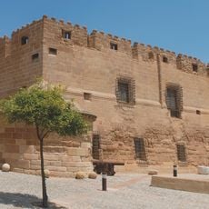
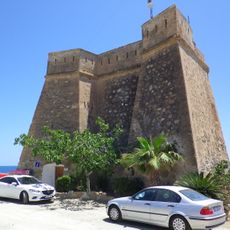
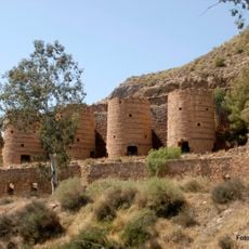
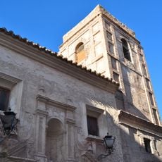
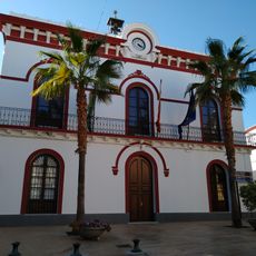
The settlement originally was called Cuevas del Marqués but was renamed Villa Hermosa in the 19th century during a mining boom when French miners arrived for lead deposits. This period shaped the area's economic development.
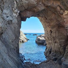
Natural caves in the surrounding hills once served as homes for hermits and shelter, which led to the name this place carries today.
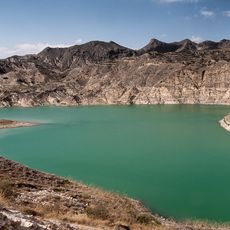
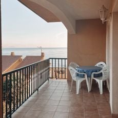
The area sits at about 88 meters elevation and is supported by water reservoirs that enable agricultural use. Visitors should expect a dry climate and the infrastructure typical of a rural community.
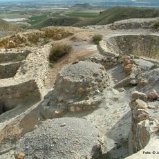
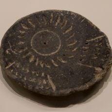
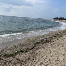
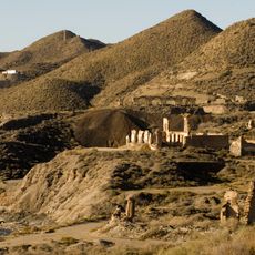
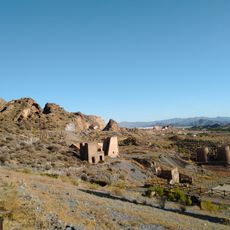
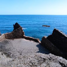
The region once held the Punic-Roman settlement of Baria, which served from the 7th century BC as a trading port for merchants from across the Mediterranean. Archaeological traces of this ancient trade route can still be found in the area today.
The community of curious travelers
AroundUs brings together thousands of curated places, local tips, and hidden gems, enriched daily by 60,000 contributors worldwide.