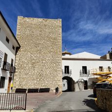
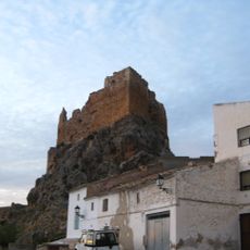
Jódar, Administrative division in Jaén Province, Spain
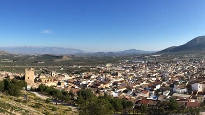
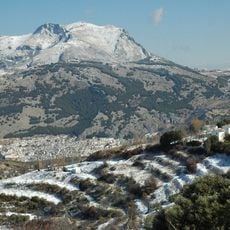
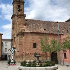
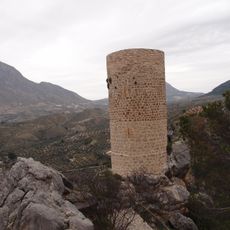
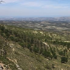
Jódar is a municipality in Jaén Province situated on hillsides at the foothills of the Sierra Mágina mountain range, with olive groves covering much of the surrounding land. The terrain varies in elevation, reaching up to 1500 meters in the higher areas.
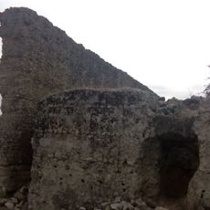
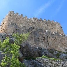
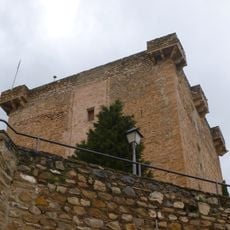
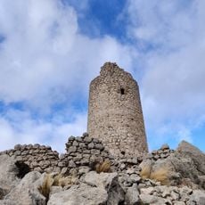
The area was captured in 1231 by Christian forces under Sancho Martínez de la Torre following orders from King Fernando III during the Reconquista. This conquest represented a major shift in territorial control of the region.
The town has long been known for weaving esparto grass into useful items, especially parasols that sell across Europe. This craft tradition remains an important part of how people here work and what defines the community.
The Mediterranean climate brings warm summers and cold winters that shape daily life and farm work in the area. Visitors should prepare for these temperature shifts when planning a visit to explore the landscape.
The town stands as Europe's largest producer of handcrafted esparto goods, maintaining a craft that spans centuries. This unusual specialization makes it a singular center for this particular artisanal tradition across the continent.
Location: Jaén Province
Capital city: Jódar
Elevation above the sea: 647 m
Part of: notarsko okrožje Úbeda, Sierra Mágina
Shares border with: Baeza, Úbeda, Cabra del Santo Cristo, Huelma, Bélmez de la Moraleda, Bedmar y Garcíez
Website: http://jodar.es
GPS coordinates: 37.84068,-3.35487
Latest update: December 22, 2025 15:45
Sierra Mágina
14.4 km
Colonia Salaria
9.8 km
Palacio de los Marqueses de Viana
9.8 km
Castillo
11.4 km
Iglesia de Nuestra Señora de la Expectación
16.3 km
Castillo de Jódar
524 m
Puente de Mazuecos
13 kmCastillo de Bélmez de la Moraleda
10.5 km
Castillo (Jimena)
10.7 km
Torre del Lucero
12.6 km
Castillo Nuevo
5.2 km
Monumento Natural Pinar de Cánava
10.9 km
Torre de Cuadros
7.5 kmCasa de los Marqueses de Camarasa
15 kmTorre de la Dehesilla
11.7 kmCastillo de Garcíez
10.4 km
Adelfal de Cuadros
7.6 km
Paisaje Oleícola de Sierra Mágina
11.1 kmPuente sobre el barranco Salado
12.6 kmPuente sobre el río Guadiana menor
13.3 kmTorre El Castellón
16.3 kmPuente sobre arroyo
14.2 km
Puente de Arroyo Salado
11.1 kmEmbalse de Doña Aldonza
12 kmEmbalse de Pedro Marín
8.2 kmScenic viewpoint
12.7 kmBandera de España
11.1 kmCueva de la Graja
10.4 kmVisited this place? Tap the stars to rate it and share your experience / photos with the community! Try now! You can cancel it anytime.
Discover hidden gems everywhere you go!
From secret cafés to breathtaking viewpoints, skip the crowded tourist spots and find places that match your style. Our app makes it easy with voice search, smart filtering, route optimization, and insider tips from travelers worldwide. Download now for the complete mobile experience.
A unique approach to discovering new places❞
— Le Figaro
All the places worth exploring❞
— France Info
A tailor-made excursion in just a few clicks❞
— 20 Minutes