Sierra Mágina, Protected mountain range in Jaén Province, Spain
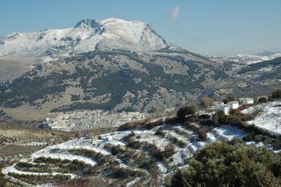
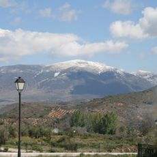
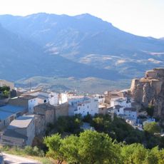
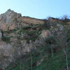
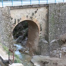
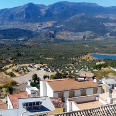
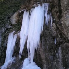
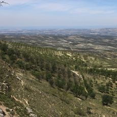
Sierra Mágina is a mountain range in the north of Jaén Province, protected under the Natura 2000 network as a Special Area of Conservation and a Special Protection Area. The terrain is made up of limestone ridges, steep valleys, and forested slopes, with the highest summit rising above 2,000 meters.
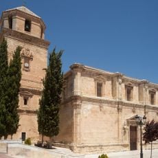
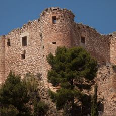
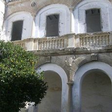
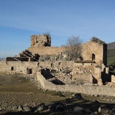
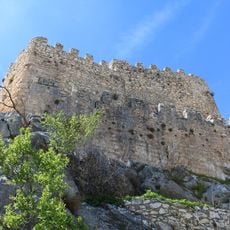
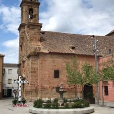
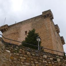
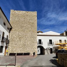
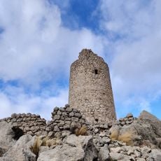
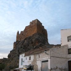
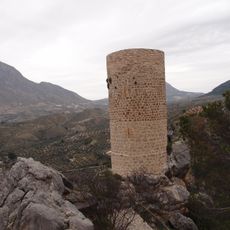
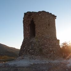
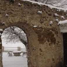
Between the 13th and 15th centuries, this range formed a natural border between the Muslim kingdom of Granada and the Christian territories to the north. That frontier role shaped the landscape, leading to the construction of castles and watchtowers along the ridges, some of which still stand today.
The medieval fortifications scattered across the slopes tell the story of how these mountains once separated powerful kingdoms. Visitors can still see these structures as markers of how communities used the landscape to define boundaries between different worlds.
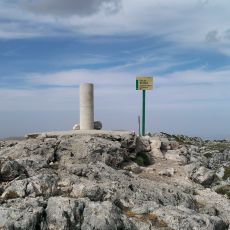
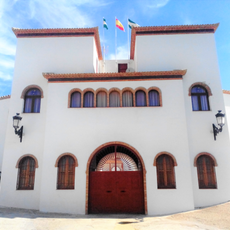
Sturdy footwear is necessary for trails that cross limestone rock and steep slopes throughout the range. The visitor center at Castillo de Jodar provides maps and details about marked routes for different levels of fitness.
The upper slopes of Sierra Mágina are home to plant species found nowhere else in the region, including wild orchids and fungi that thrive in the mountain microclimate. This botanical variety was one of the main reasons the area was included in the Natura 2000 network.
The community of curious travelers
AroundUs brings together thousands of curated places, local tips, and hidden gems, enriched daily by 60,000 contributors worldwide.