Villanueva del Arzobispo, Agricultural municipality in Jaén Province, Spain.
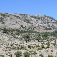
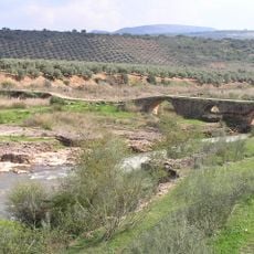
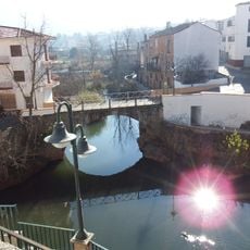
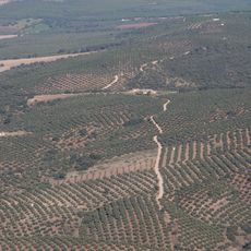
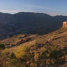
Villanueva del Arzobispo is a municipality in Jaén Province situated on a plateau between two rivers. The landscape is dominated by extensive olive groves that spread across the terrain at roughly 720 meters in elevation.
The settlement was originally called La Moraleja before receiving its current name in 1396 when the Archbishop of Toledo requested town status from King Henry III of Castile. This name change marked a shift toward new administrative importance.
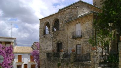
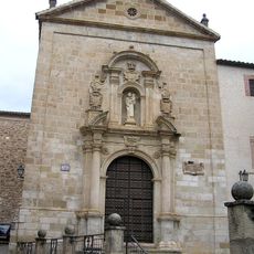
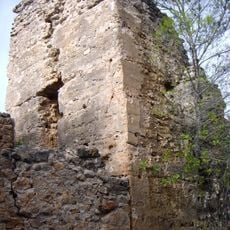
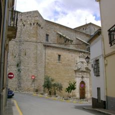
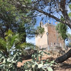
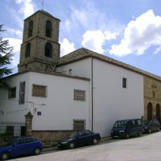
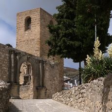
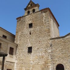
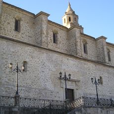
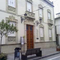
The Church of San Andrés displays architectural layers from different periods, standing on the remains of a former Moorish fortress. This mix of styles shapes how the town center looks and feels today.
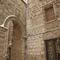
The town is easy to explore on foot, with key sites like the church and town center situated close together. Visitors should plan ahead for accommodation and meals since this is a rural area without extensive tourist services nearby.
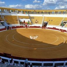
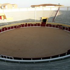
The bullring from 1928 features neo-Moorish architecture with distinctive horseshoe arches and intricate decorative details. This structure merges architectural elements from the region's Arab heritage with early 20th century building styles.
GPS coordinates: 38.16877,-3.00766
Latest update: December 7, 2025 19:24
Convento de Carmelitas Descalzas de San José del Salvador
13.9 km
Castillo La Iruela
27.6 km
Las Banderillas
26.1 km
Castillo de Bujaraiza
19.8 km
Puente Mocho
13 km
Embalse del Aguascebas
14.8 km
Castillo de Hornos
25.8 km
Centro Histórico de Iznatoraf
2.5 km
Iglesia de San Andrés, Villanueva del Arzobispo
365 m
Villanueva del Arzobispo's bullring
694 m
Ex-colegiata de Santiago, Castellar
14.4 km
Castillo de Sorihuela
9 km
Jueves
13.7 km
Monasterio de Santa Ana
401 m
Ruinas de la Iglesia de Santo Domingo
27.7 km
Casa Palacio de la calle Ministro Benavides (Villacarrillo)
9.1 km
Torre del Campanario de la Iglesia
17.6 km
Torreón con espadaña
9 km
Iglesia de la Asunción de Nuestra Señora (Villacarrillo)
9.2 km
Castillo de Nubla
23.9 km
Castillo de Espinareda
28 km
Puente Viejo sobre el Guadalimar
27.4 km
Biblioteca Pública Municipal de Villacarrillo - Francisco Tudela
9 km
Plaza de toros de Villacarrillo
8.7 km
Central Hidroeléctrica Cerrada del Utrero
27.8 km
Paisaje de Chiclana de Segura
16.3 km
Paisaje de Hornos
26 km
Embalse del Guadalmena
23.5 kmVisited this place? Tap the stars to rate it and share your experience / photos with the community! Try now! You can cancel it anytime.
Discover hidden gems everywhere you go!
From secret cafés to breathtaking viewpoints, skip the crowded tourist spots and find places that match your style. Our app makes it easy with voice search, smart filtering, route optimization, and insider tips from travelers worldwide. Download now for the complete mobile experience.
A unique approach to discovering new places❞
— Le Figaro
All the places worth exploring❞
— France Info
A tailor-made excursion in just a few clicks❞
— 20 Minutes