Los Yébenes, municipality of Spain
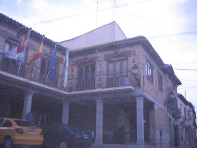
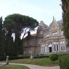
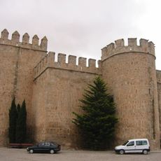
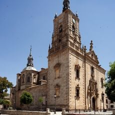
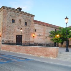
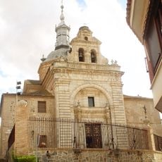
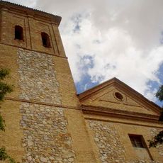
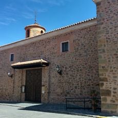
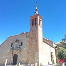
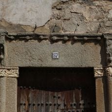
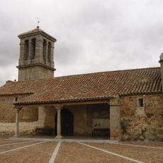
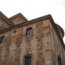
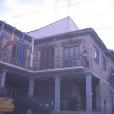
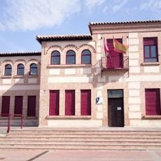
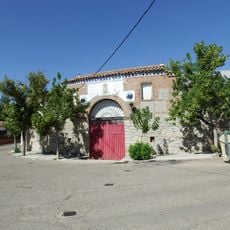
Los Yébenes is a small town in Toledo Province with narrow, quiet streets and old houses featuring traditional roofs. The settlement preserves several churches spanning different periods, including the Church of Santa María la Real with mixed architectural styles and the Church of San Juan Bautista with its tower built by a religious order, as well as the 17th-century Baroque Palacio de la Encomienda.
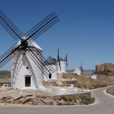
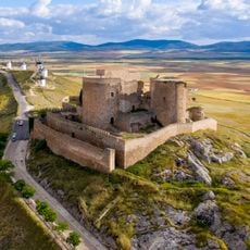
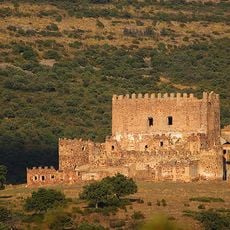
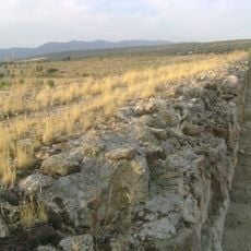
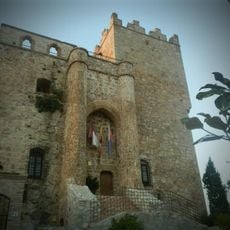
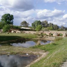
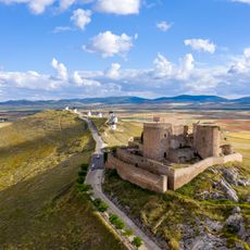
Los Yébenes extends back many centuries and was once a medium-sized settlement with significant structures. Remains of a 12th-century castle and ancient bridges still stand in the Guadalerzas valley, speaking to the need for defense and communication in earlier times, while Roman water-management infrastructure from the first two centuries CE shows how people employed early technical methods for water distribution.
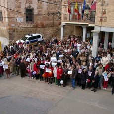
Los Yébenes centers its community life around religious traditions and celebrations, where residents gather in the main square during holidays to share food and music. The churches and small chapels are integral to how locals mark their calendar and maintain their sense of belonging.
The town is best explored on foot, with walking through the streets offering the feeling of stepping back in time. Small guesthouses and rural accommodations are available for overnight stays, though advance planning is wise since there are no large hotels and lodging options are limited.
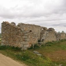
The Museum of Natural Sciences displays a blue whale skeleton, a piece of the Madrid National Museum collection made easily accessible to visitors here. The location also hosts the archaeological site of Montón de Trigo, where ongoing excavations reveal more about Bronze Age settlements and the ancient human history of the region.
The community of curious travelers
AroundUs brings together thousands of curated places, local tips, and hidden gems, enriched daily by 60,000 contributors worldwide.