Ruta de la Plata Motorway, Modern highway network across western Spain
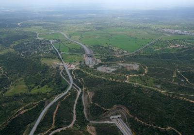
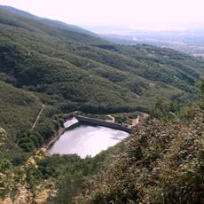
The Ruta de la Plata Motorway is a multi-lane traffic corridor running 800 kilometers from Gijón in the north to Seville in the south, crossing four regions of Spain. Several numbered sections divide the route, while the roadway stretches across plateaus, hilly terrain, and river valleys.
The road was constructed during the second half of the 20th century to create a corridor modernizing the Roman trade route. Its completion took place gradually over several decades, with northern sections built last.
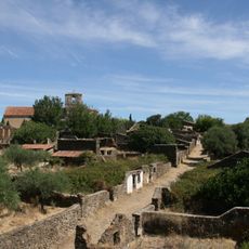
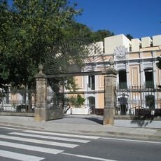
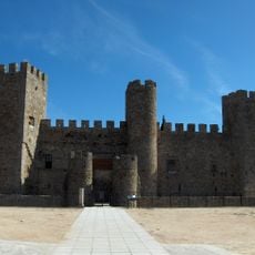
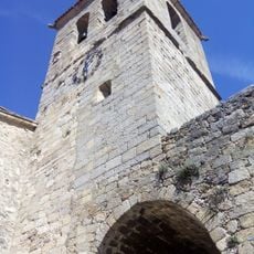
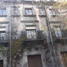
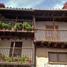
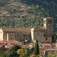
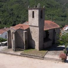
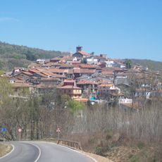
The motorway sits on the same corridor as a historic route that once led from the north to the southern coast. Travelers and walkers now use parallel side roads to visit old pilgrim villages, while the highway itself enables regional trade and freight transport between four autonomous communities.
Fuel stations, rest areas, and service centers are distributed at regular intervals along the entire route. Driving from north to south takes between eight and ten hours, depending on pace and breaks.
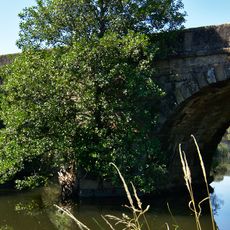
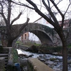
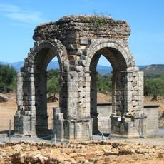
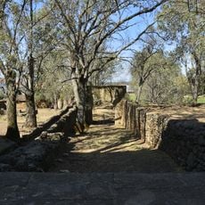
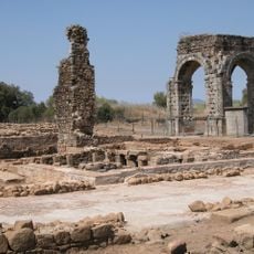
The name Plata comes from the Arabic word balat, meaning paved road, rather than from the Spanish word for silver. Roman milestones and bridge remains can still be found along the route, visible beside the modern roadway.
The community of curious travelers
AroundUs brings together thousands of curated places, local tips, and hidden gems, enriched daily by 60,000 contributors worldwide.