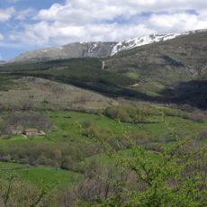
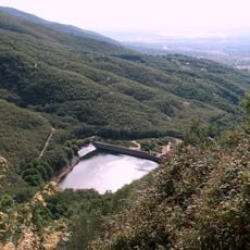
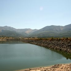
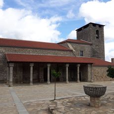
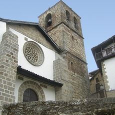
Ambroz Valley, Valley association in northern Cáceres Province, Spain.
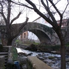
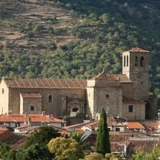
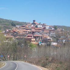
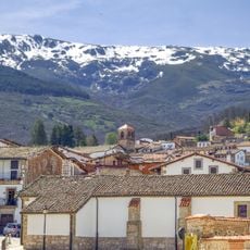
The Ambroz Valley is an association of eight municipalities in Cáceres Province, with Hervás serving as the main administrative and commercial center. The area sits between mountain ranges, and the Ambroz River runs through the valley floor.
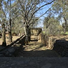
The Silver Way, an ancient Roman trade road, passed through this valley and connected different regions of the Iberian Peninsula. This historical route shaped the valley's economic importance for centuries.
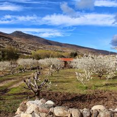
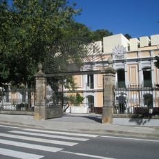
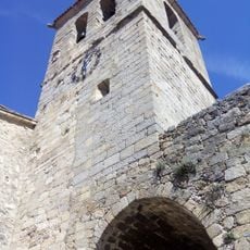
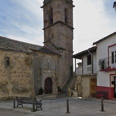
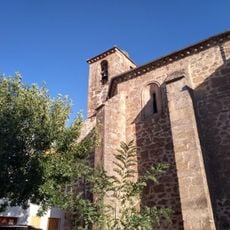
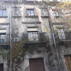
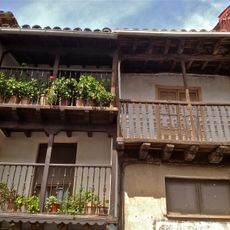
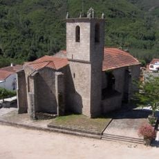
The municipalities here preserve craft traditions that are especially visible in Hervás, where old houses display traditional architecture and local ways of living. Visitors can see these traditions in everyday interactions and at local markets throughout the valley.
The valley is accessible from main highways in Cáceres Province, with Hervás offering central services including accommodations and tourist information. The autumn season offers the most rewarding visit when the landscape displays its full character.
In autumn, the extensive chestnut forests that cover the valley hillsides transform into shades of red and gold. This seasonal change attracts visitors who come specifically to walk through the falling leaves and experience the woodland at this time of year.
Location: Cáceres Province
Inception: March 24, 1992
Website: http://valleambroz.org
GPS coordinates: 40.27389,-5.86583
Latest update: December 10, 2025 16:02
Valle del Jerte
15 km
Plaza de toros de Béjar
14.6 km
Calvitero
10.8 km
Canchal de la Ceja
12.1 km
Palacio de Sotofermoso
9.3 km
Balneario de Baños de Montemayor
5.2 km
Sierra de Candelario
13.8 km
Navamuño Reservoir
10.6 km
Castle of Montemayor del Río
8.7 km
Castillo de Hervás
521 m
Bullrings in Hervás
1 km
Iglesia de Santa María, Baños de Montemayor
5 km
Verraco de Segura de Toro
9 km
Church of Our Lady of the Elm
5.5 km
Episcopal palace of Lagunilla
10.5 km
Conjunto histórico de Cabezuela del Valle
10.3 km
Fuente Chiquita bridge
774 m
Gardens of the Palacio de Sotofermoso
9.3 km
Church of Santa María
648 m
Biblioteca Pública Municipal de Jerte
11.5 km
Church of Santiago Apostle, Béjar
14.8 km
Church of la Asunción, Montemayor del Río
8.6 km
Hervás Reservoir
3.6 km
Conjunto Histórico Artístico de la Villa de Montemayor del Río
8.6 km
Conjunto Histórico Artístico la Villa de Candelario
14.7 km
Baños Reservoir
2.9 km
Church of Our Lady of the Assumption, Lagunilla
10.7 km
Church of Nuestra Señora de la Asunción, Candelario
14.7 kmVisited this place? Tap the stars to rate it and share your experience / photos with the community! Try now! You can cancel it anytime.
Discover hidden gems everywhere you go!
From secret cafés to breathtaking viewpoints, skip the crowded tourist spots and find places that match your style. Our app makes it easy with voice search, smart filtering, route optimization, and insider tips from travelers worldwide. Download now for the complete mobile experience.
A unique approach to discovering new places❞
— Le Figaro
All the places worth exploring❞
— France Info
A tailor-made excursion in just a few clicks❞
— 20 Minutes