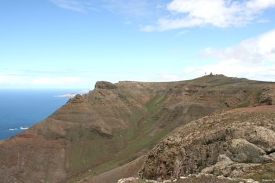
Peñas del Chache, Mountain summit in Haría, Spain
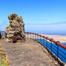
Peñas del Chache is the highest point on the island of Lanzarote, rising to about 672 meters (2,205 feet) above sea level. The summit has a radar surveillance station and a public viewpoint where visitors can see across the entire island and out toward the Atlantic Ocean.
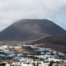
The mountain formed during the Miocene epoch as part of the ancient Famara volcanic structure, making it one of Lanzarote's oldest rock formations. This volcanic origin shaped much of the island's landscape and geological character.
The name Chache comes from the Guanche language, spoken by the islands' earliest inhabitants, and means height. From this point, visitors can see across the landscape and feel connected to the people who named these mountains long ago.
A road leads up to a parking area near the summit, with just a short walk to the public viewpoint. Access to the radar station itself is restricted, but the open viewing area offers excellent views without needing to hike far.
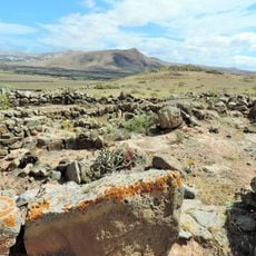
The slopes are covered with specialized plants like wild spurge and broom shrubs that thrive in the dry conditions here. These hardy species show how life adapts to survive on rocky, windswept terrain.
The community of curious travelers
AroundUs brings together thousands of curated places, local tips, and hidden gems, enriched daily by 60,000 contributors worldwide.