
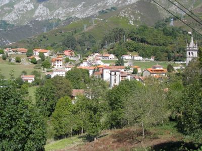
Alles, parish in Asturias, Spain
Location: Peñamellera Alta
Elevation above the sea: 263 m
Shares border with: Llonín, Mier, Asturias, Trescares, Ruenes, La Borbolla, Purón, Vidiago
GPS coordinates: 43.33379,-4.70567
Latest update: April 10, 2025 21:29
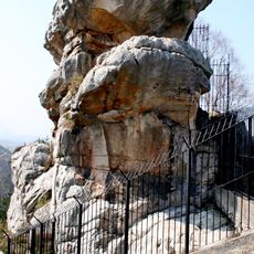
Peña Tú
6.8 km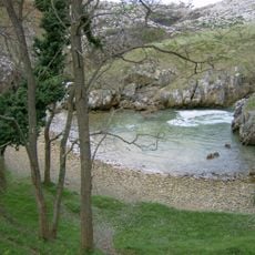
Playa de Cobijero
10.4 km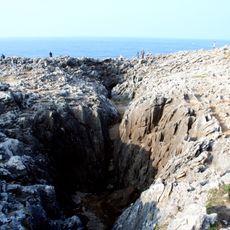
Bufón de Arenillas
8.3 km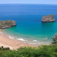
Beach of Ballota
8.8 km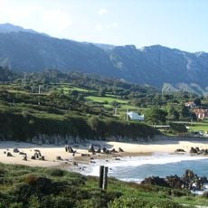
Playa de Toró
9.7 km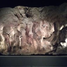
Cueva de Llonín
4.9 km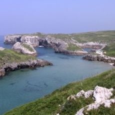
Playa de Cue o de Antilles
9.4 km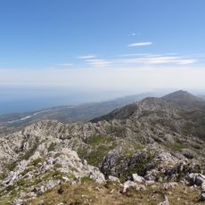
Turbina
5.7 km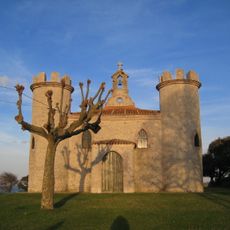
Iglesia de la Virgen de la Guía
10.1 km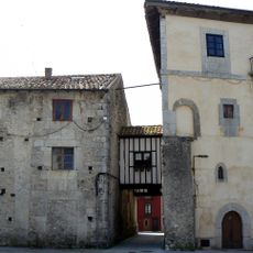
Palace of Gastañaga
10.4 km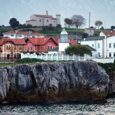
Llanes Lighthouse
10.2 km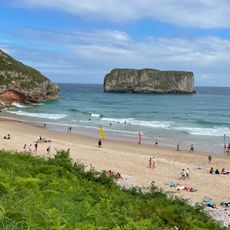
Playa de Andrín
8.5 km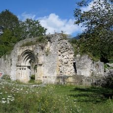
Church of San Pedro de Plecín
560 m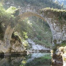
La Vidre Bridge
2.3 km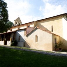
Church of Santa María de Llas
9.5 km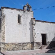
Capilla de Santa Ana
10.4 km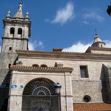
Iglesia de San Pedro
204 m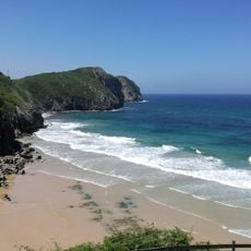
Playa de Vidiago
8.6 km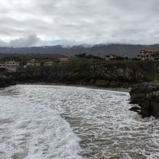
Puertu Chicu Beach
10 km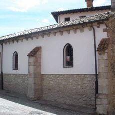
Capilla de la Magdalena
10.4 km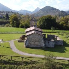
Iglesia de San Juan
9.3 km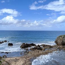
Playa de Pendueles
9.4 km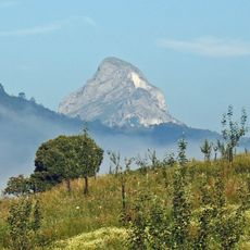
Pica de Peñamellera
3.8 km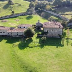
Palace of San Roman de Panes
9.6 km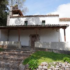
Iglesia de San Juan
8.8 km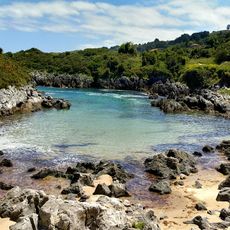
Playas de Entremares y de Buelna
9.9 km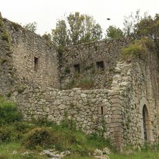
Tower of Tronquedo
8.2 km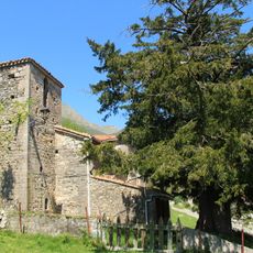
Field of church of San Pablo de Arangas
7.5 kmVisited this place? Tap the stars to rate it and share your experience / photos with the community! Try now! You can cancel it anytime.
Discover hidden gems everywhere you go!
From secret cafés to breathtaking viewpoints, skip the crowded tourist spots and find places that match your style. Our app makes it easy with voice search, smart filtering, route optimization, and insider tips from travelers worldwide. Download now for the complete mobile experience.

A unique approach to discovering new places❞
— Le Figaro
All the places worth exploring❞
— France Info
A tailor-made excursion in just a few clicks❞
— 20 Minutes