Enable Location

We need your location to show you interesting places around you

Discover nearby places

Find interesting locations and hidden gems around you

Precise directions

Get accurate directions and distances to places

Your location is never shared with other users. It's only used when you tap the location button.

Pico del Inglés

Log in to your account

Start exploring — it's free

Trusted by 61,656 travelers worldwide

Continue with Google
Continue with Apple
or

We will send you a code to connect

By continuing, you accept our Terms and Conditions and our Privacy Policy

Check your inbox

We've sent a pincode in your inbox. Please enter the code below.

Pico del Inglés

Pico del Inglés, Mountain summit in Anaga Rural Park, Tenerife, Spain

Description

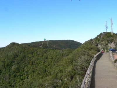
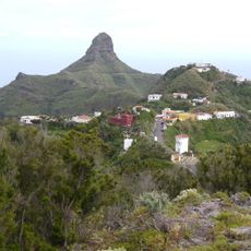
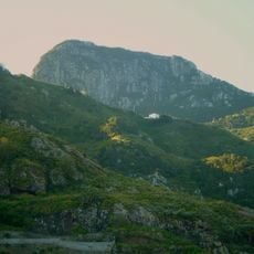
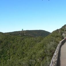
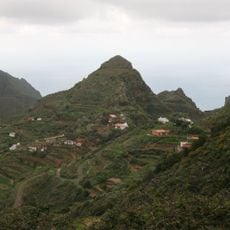
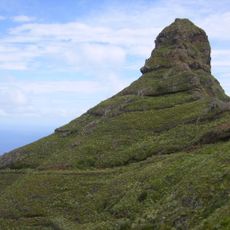
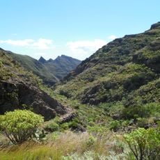
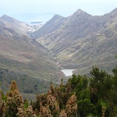
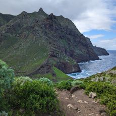
Pico del Inglés is a mountain summit in the Anaga range on Tenerife that rises to about 995 meters and forms part of the Macizo de Anaga Biosphere Reserve. The peak displays steep slopes and vegetation zones that vary with elevation and exposure to wind and moisture.

History

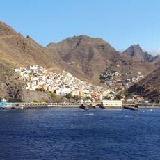
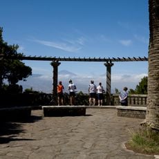
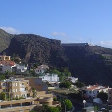
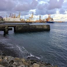
The summit served as a key observation point during the Spanish colonial period to monitor ships and activities along the northern coast of Tenerife. This strategic role made it significant in the early settlement and control of the island.

Culture

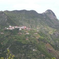
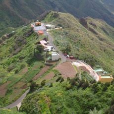
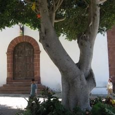
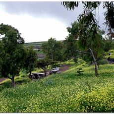
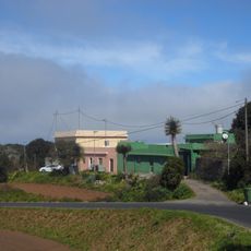
The Anaga region maintains traditional farming methods, with local growers using terraced fields on the slopes according to time-honored techniques. These practices shape how people relate to the land and give the hillside its distinctive stepped appearance.

Practical

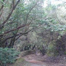
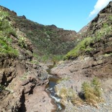
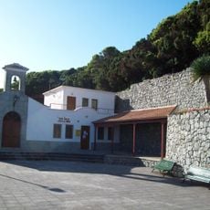
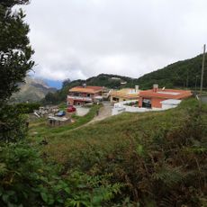
The summit is reached via the PR-TF 2 hiking trail that connects Taborno and Valleseco villages. Marked parking areas sit at the trailhead, though the path can be steep and muddy depending on recent weather.

Did you know?

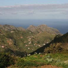
The summit creates a sea of clouds effect during certain weather conditions, where a thick cloud layer blankets the landscape below. This microclimate supports specialized plant species that thrive in this misty zone and cannot be found elsewhere on the island.

GPS coordinates
28.53346,-16.26430
Latest update
December 13, 2025 17:07

AroundUs brings together thousands of curated places, local tips, and hidden gems, enriched daily by 60,000 contributors worldwide. Discover all places nearby (Spain).

« Pico del Inglés - Mountain summit in Anaga Rural Park, Tenerife, Spain » is provided by Around Us (aroundus.com). Images and texts are derived from Wikimedia project under a Creative Commons license. You are allowed to copy, distribute, and modify copies of this page, under the conditions set by the license, as long as this note is clearly visible.

Discover hidden gems everywhere you go!

From secret cafés to breathtaking viewpoints, skip the crowded tourist spots and find places that match your style. Our app makes it easy with voice search, smart filtering, route optimization, and insider tips from travelers worldwide. Download now for the complete mobile experience.

Around Us App Screenshot

A unique approach to discovering new places

Le Figaro

All the places worth exploring

France Info

A tailor-made excursion in just a few clicks

20 Minutes

Around Us
Travel Guide & Maps
Download

Send to your phone

QR Code
1

Open the camera app on your mobile.

2

Point at the QR code with your camera. A notification will appear.

3

Tap the notification to open the link.