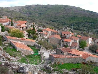
Trevejo, human settlement in Villamiel, Cáceres Province, Extremadura, Spain
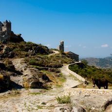
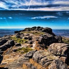
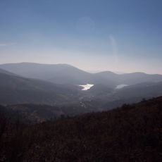
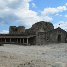
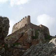
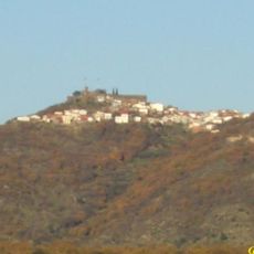
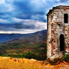
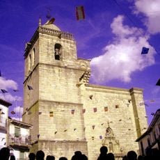
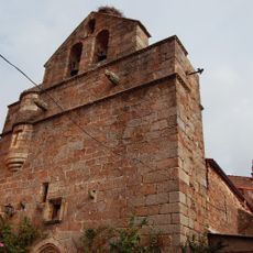
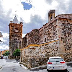
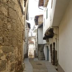
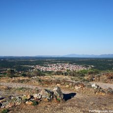
Trevejo is a small locality in Cáceres province situated in the Sierra de Gata mountains, built on a hillside with narrow cobblestone streets and stone houses. Above the settlement stands a ruined castle with walls and towers dating from the 12th century, offering wide views across the surrounding landscape.
The settlement developed in a border region and the castle was built in the 12th century as a fortified stronghold. In 1184, King Ferdinand II of León granted the castle to the Order of Saint John (Hospitallers), who maintained it for centuries as a defensive outpost against Portugal.
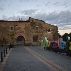
Trevejo's name reflects its historical role as a border settlement during medieval times. The village remains home to residents who maintain traditional ways of life, with stone houses that continue to shelter families and keep local customs alive through daily routines.
The location is accessible via a scenic road in good condition from nearby cities like Plasencia, offering a pleasant drive through the Sierra de Gata. There is a large parking area near the village since narrow streets do not allow regular vehicle traffic, and the final section to the castle requires walking on rocky terrain.
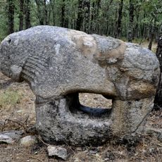
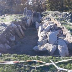
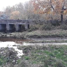
Beneath the castle lie tombs carved directly into the rock that date back to Visigothic times, revealing that this location was inhabited since very ancient periods. These stone-cut burial sites remain visible today and speak to the earliest residents of this place.
The community of curious travelers
AroundUs brings together thousands of curated places, local tips, and hidden gems, enriched daily by 60,000 contributors worldwide.