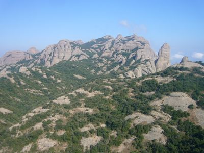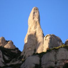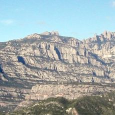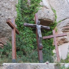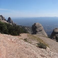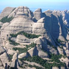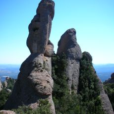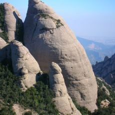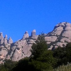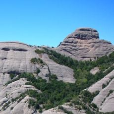
Sant Jeroni, Mountain summit in Montserrat, Spain.
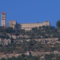
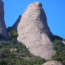
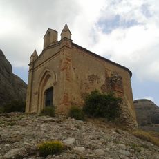
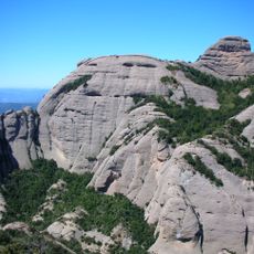
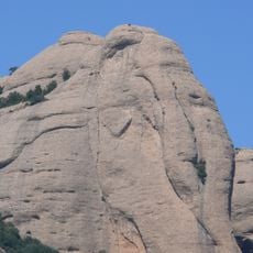
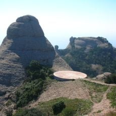
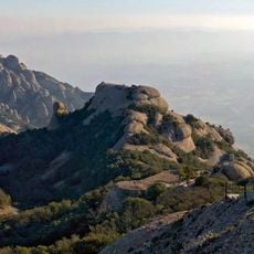
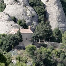
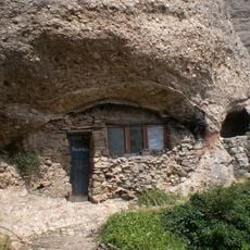
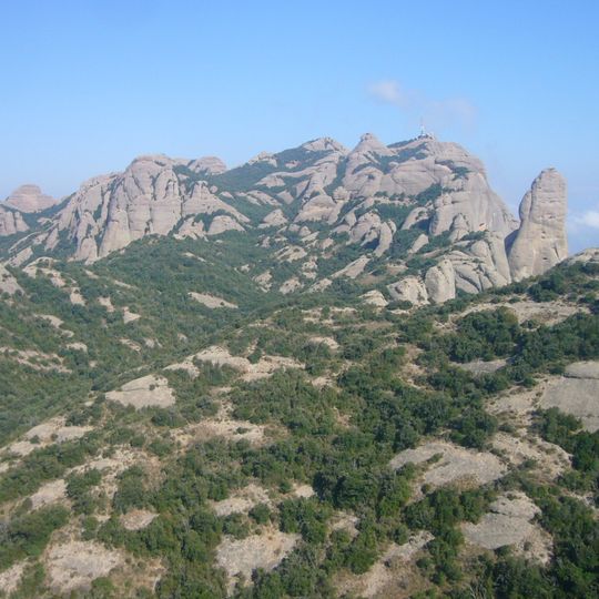
Sant Jeroni is the highest summit of the Montserrat massif at 1,236 metres, where the municipal boundaries of El Bruc, Marganell and Monistrol de Montserrat meet. A chapel stands near the top, beside the site of a former hermitage later turned into a restaurant, and the upper station of the closed Sant Jeroni aerial funicular sits at the Mirador del Moro. A geodetic vertex built on 6 August 1977 marks the summit.
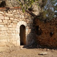
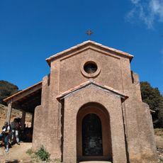
In the late 18th century, Sant Jeroni was one of the vertices used to measure the Dunkerque–Paris–Barcelona meridian, work that helped determine the length of the metre. The triangulation signal was set up in the doorway of the summit chapel. A geodesic vertex was built on the peak on 6 August 1977.
The chapel near the summit is dedicated to Saint Jerome, and the name Sant Jeroni comes from him. The summit also marks the meeting point of the municipal boundaries of El Bruc, Marganell and Monistrol de Montserrat. A geodesic vertex stands on the peak, reference 280115001, built on 6 August 1977.
The climb starts at the stairs left of the Font del Portal, west of the Montserrat sanctuary, and passes between two rocks at the Pas del Francès. After the Pla dels Ocells, a path leads to the Sant Jeroni chapel, where stairs continue to the summit. The final stretch is steep, with steps and a handrail.
The summit's geodesic vertex, reference 280115001, was built on 6 August 1977. In the late 18th century the peak served as a triangulation point for measuring the meridian through Dunkerque, Paris and Barcelona, work that helped determine the length of the metre; the signal was set up in the doorway of the chapel.
The community of curious travelers
AroundUs brings together thousands of curated places, local tips, and hidden gems, enriched daily by 93,608 contributors worldwide.