
Santianes, parish (parroquia) in Ribadesella, Asturias, Spain
Location: Ribadesella
Elevation above the sea: 17 m
Shares border with: Collera, Xuncu, Nueva, Margolles, Zardón
GPS coordinates: 43.42431,-5.05949
Latest update: March 24, 2025 03:58
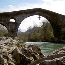
Cangas de Onís Roman Bridge
10.1 km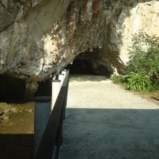
Tito Bustillo Cave
4.1 km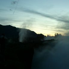
Bufones de Pría
6.5 km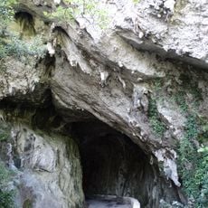
La Cuevona
1.5 km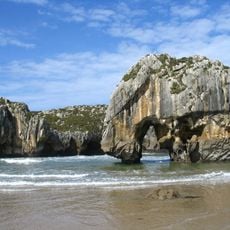
Cuevas del Mar Beach
10.5 km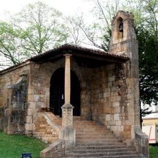
Santa Cruz de Cangas de Onís
9.8 km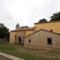
Church of Santa Eulalia (Abamia)
9.4 km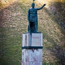
Estatua de Don Pelayo
12.8 km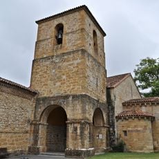
Monastery of San Pedro de Villanueva
9.8 km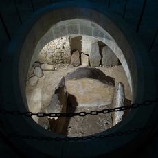
Dolmen de Santa Cruz
9.8 km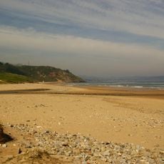
Playas de Berbes, Vega y La Sierra
9.4 km
Palacio de los Condes de la Vega del Sella
10.4 km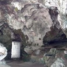
Cueva del Buxu
8 km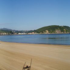
Beach of Santa Marina, Ribeseya
4.7 km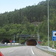
Ordovician Tunnel of El Fabar
8.5 km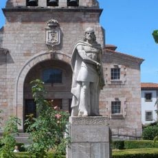
Monumento a Don Pelayo, Cangas de Onís
9.8 km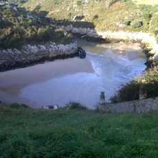
Playa de Guadamía
7.2 km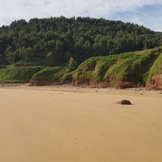
Arenal de Morís Beach
11 km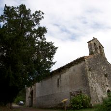
Church of San Pedro de Con
10.2 km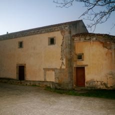
Church of Santa María de Junco
1.9 km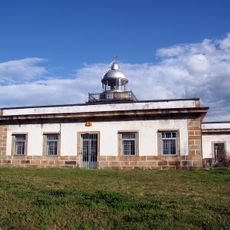
Faro de Ribadesella
5.7 km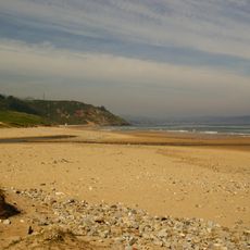
Entrepeñes y Playa de Vega
7.9 km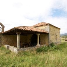
Capilla de Santo Medero
9.5 km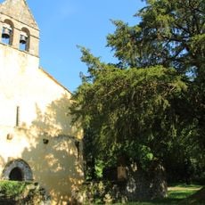
Field of church of Santa Eulalia de Abamia
9.4 km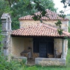
Capilla de Santa Eugenia de Sobrecueva
8.2 km
Tower of Sirviella
11.4 km
House on Avenida Covadonga 43 in Cangas de Onís
9.7 km
Conjunto Histórico de Ribadesella
4.1 kmReviews
Visited this place? Tap the stars to rate it and share your experience / photos with the community! Try now! You can cancel it anytime.
Discover hidden gems everywhere you go!
From secret cafés to breathtaking viewpoints, skip the crowded tourist spots and find places that match your style. Our app makes it easy with voice search, smart filtering, route optimization, and insider tips from travelers worldwide. Download now for the complete mobile experience.

A unique approach to discovering new places❞
— Le Figaro
All the places worth exploring❞
— France Info
A tailor-made excursion in just a few clicks❞
— 20 Minutes