
A Caeira, human settlement in Pontevedra, Spain
Location: San Salvador de Poio
GPS coordinates: 42.43786,-8.65672
Latest update: April 28, 2025 08:54

Pontevedra City Hall
1 km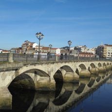
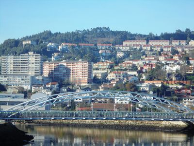
Burgo Bridge
1.1 km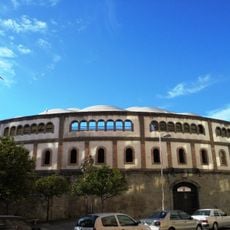
Bullring of Pontevedra
945 m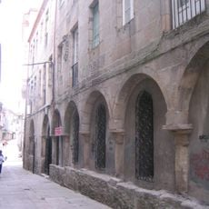
Sanctuary of the Apparitions
946 m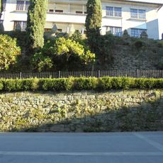
Wall of Pontevedra
877 m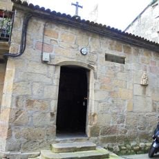
Nazarene chapel
1.1 km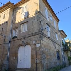
Casa de los Vaamonde
923 m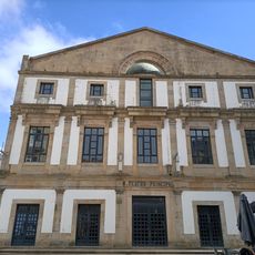
Pontevedra Principal Theatre
1.1 km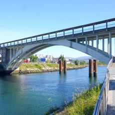
Barca Bridge
620 m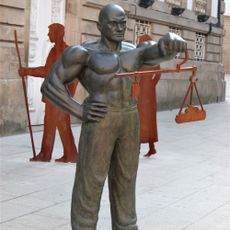
The Fiel Contraste
1 km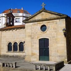
Chapel of Saint Roch
1 km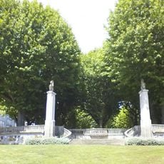
Alameda of Pontevedra
1 km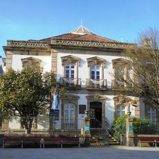
Mendoza Mansion
932 m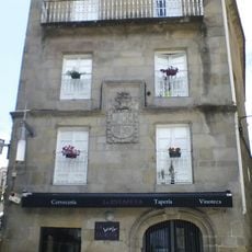
Casa del Correo Viejo
1.1 km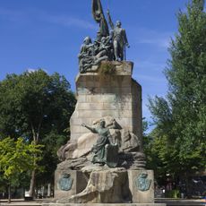
Monument to the heroes of Puente Sampayo
1 km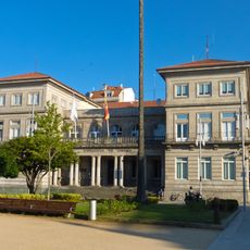
Gobierno Civil de Pontevedra
980 m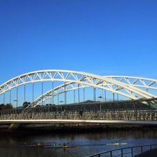
Corrientes Bridge
702 m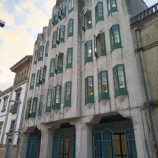
Biblioteca Pública de Pontevedra Antonio Odriozola
782 m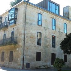
Official Association of building engineers of Pontevedra Building
971 m
Archbishop's Towers Interpretation Centre (CITA)
964 m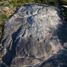
Área arqueológica de A Caeira
538 m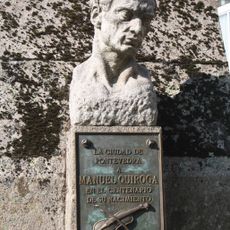
Monument to Manuel Quiroga
979 m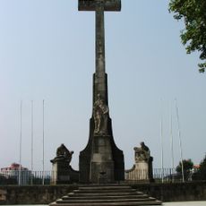
Soldier's monument
1.1 km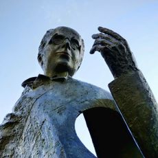
Castelao (statue)
959 m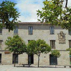
Pazo de los Gago y Montenegro
1.1 km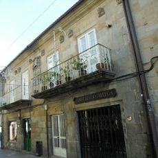
Casa de los Barbeito y Padrón
1.1 km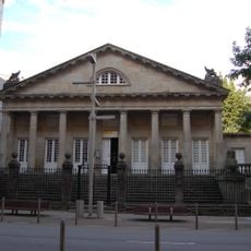
Archivo Histórico Provincial de Pontevedra
937 m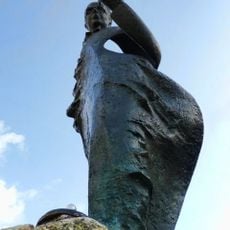
Castelao
964 mVisited this place? Tap the stars to rate it and share your experience / photos with the community! Try now! You can cancel it anytime.
Discover hidden gems everywhere you go!
From secret cafés to breathtaking viewpoints, skip the crowded tourist spots and find places that match your style. Our app makes it easy with voice search, smart filtering, route optimization, and insider tips from travelers worldwide. Download now for the complete mobile experience.

A unique approach to discovering new places❞
— Le Figaro
All the places worth exploring❞
— France Info
A tailor-made excursion in just a few clicks❞
— 20 Minutes